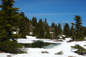
Jack Shark’s Augerpoint Trail climbs from 240 m elevation on the east side of Buttle Lake to subalpine tarns at 1410 m on the Augerpoint ridge. Although only about 4.5 km to the tarns, the trail is steep from the very start, with a couple of flat benches but also a couple of scree slopes. Our reward at the top after about 4-1/2 hrs of hiking was spectacular views to the north, west, & south, of Buttle Lake and the surrounding mountains.
The white rock of Marble Meadows is striking from this vantage point.
The Golden Hinde, highest peak on Vancouver Island at 2200 m, is in the heart of the Park to the west.
Jack Shark was a long-time Comox District Mountaineering Club member who rebuilt the Augerpoint Trail after a forest fire 30 years ago burned the original trail.
View Augerpoint Trail in a larger map


