-
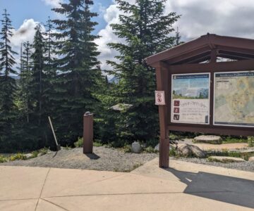
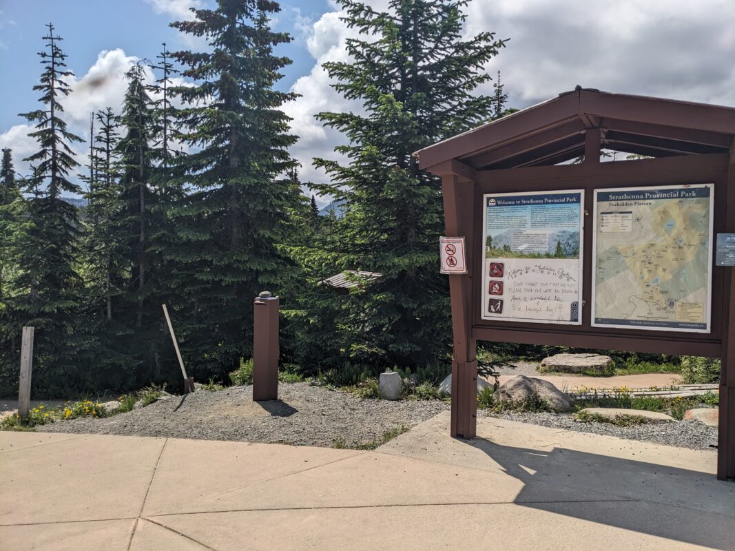
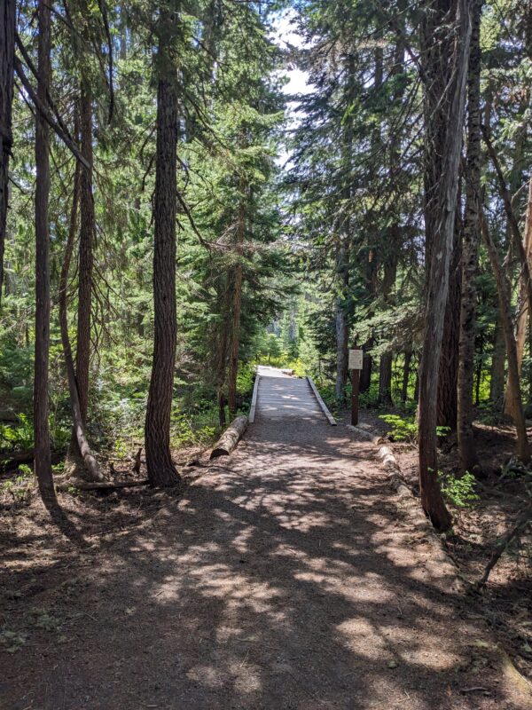
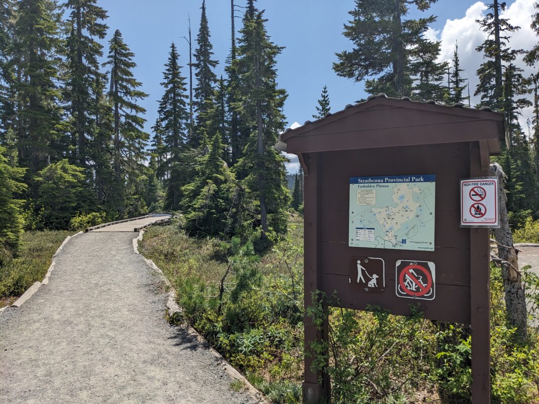
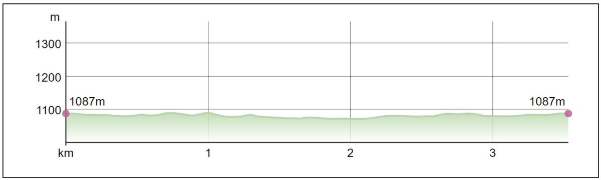
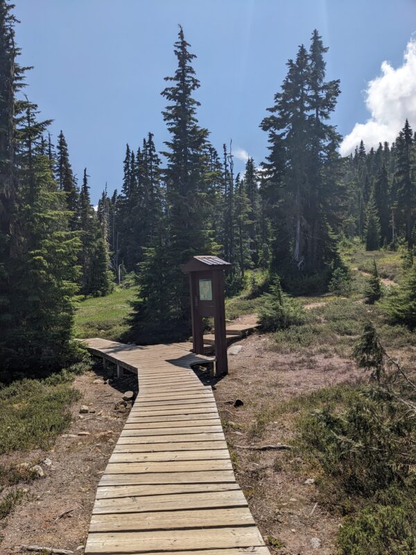
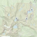
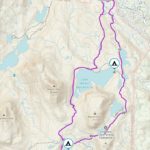
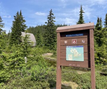
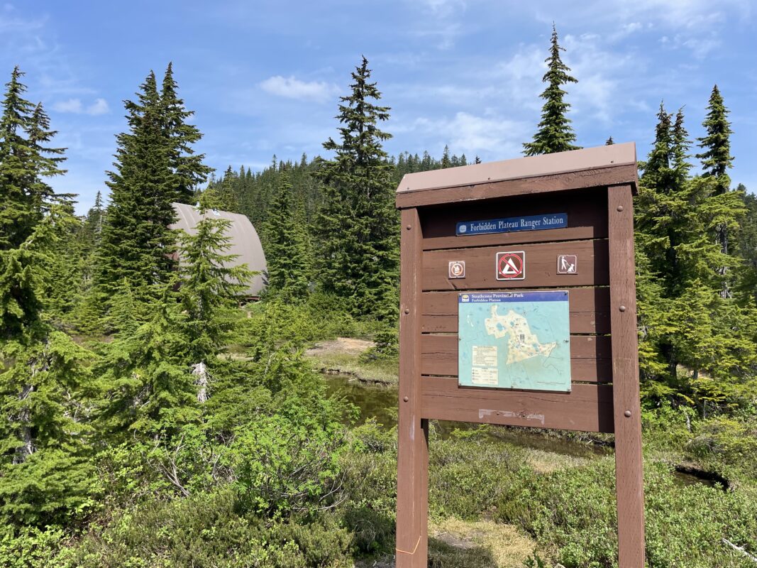
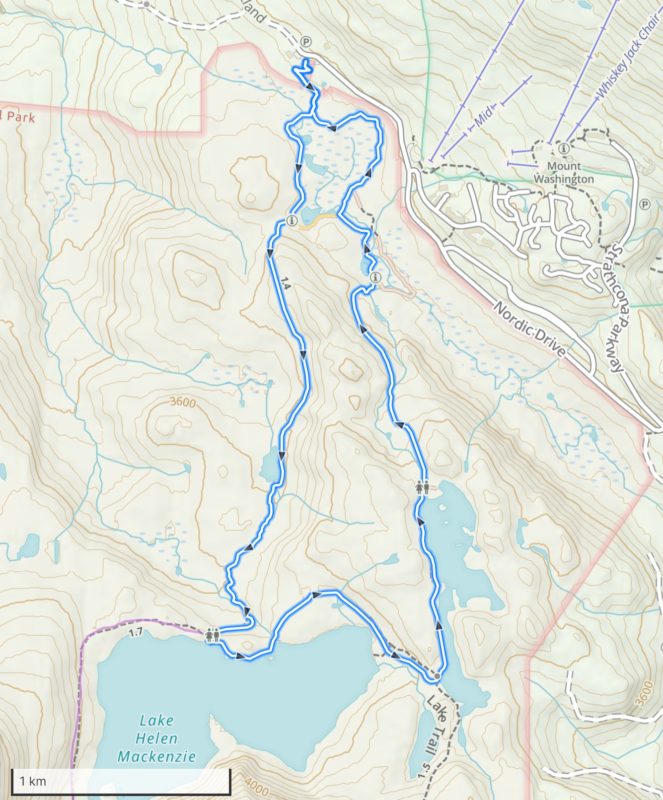
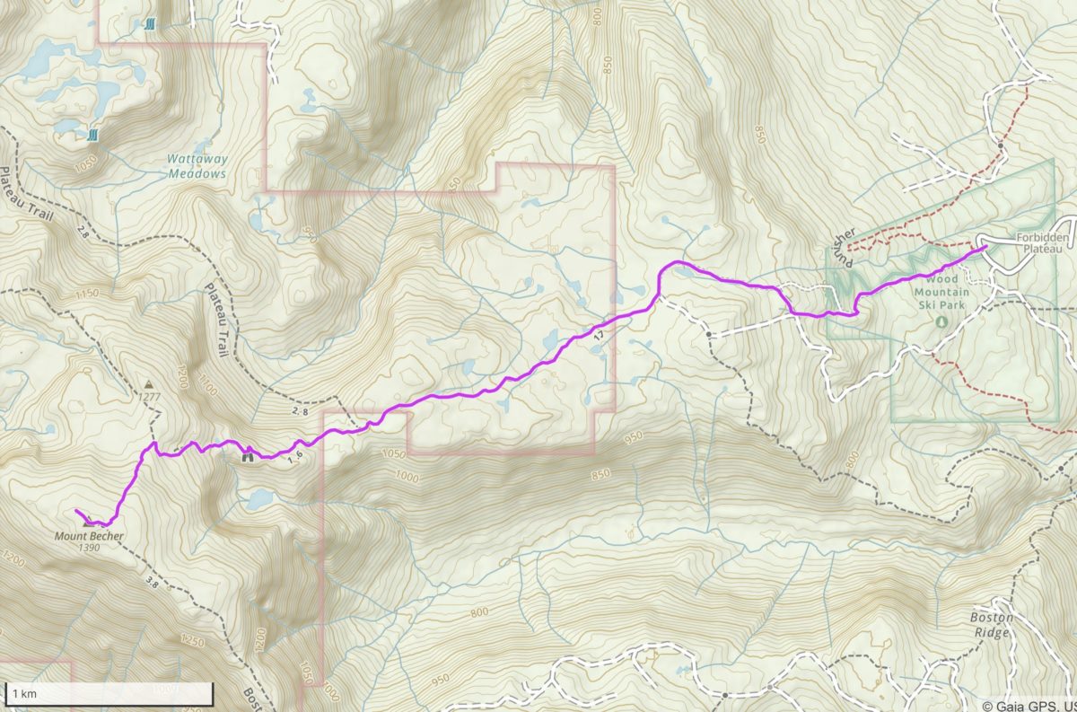
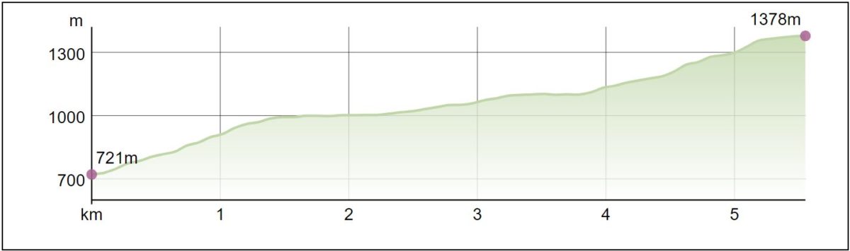
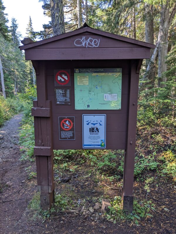
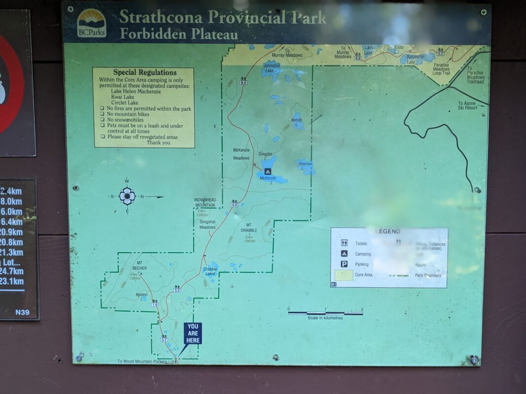
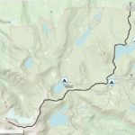
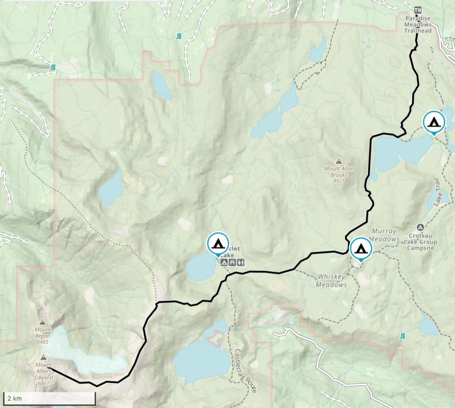
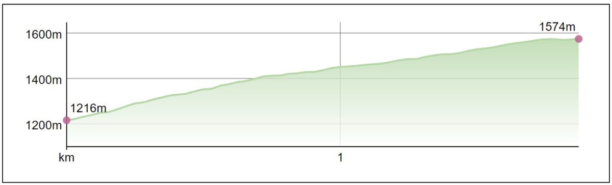
- Centennial Loop & Paradise Meadows Trail Head 2023_06
-
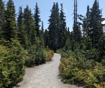
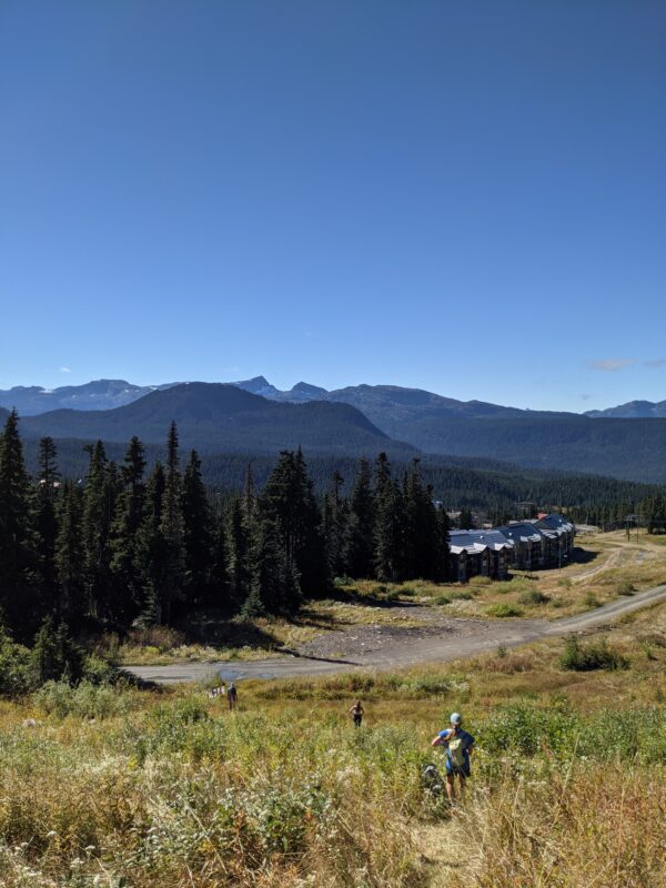
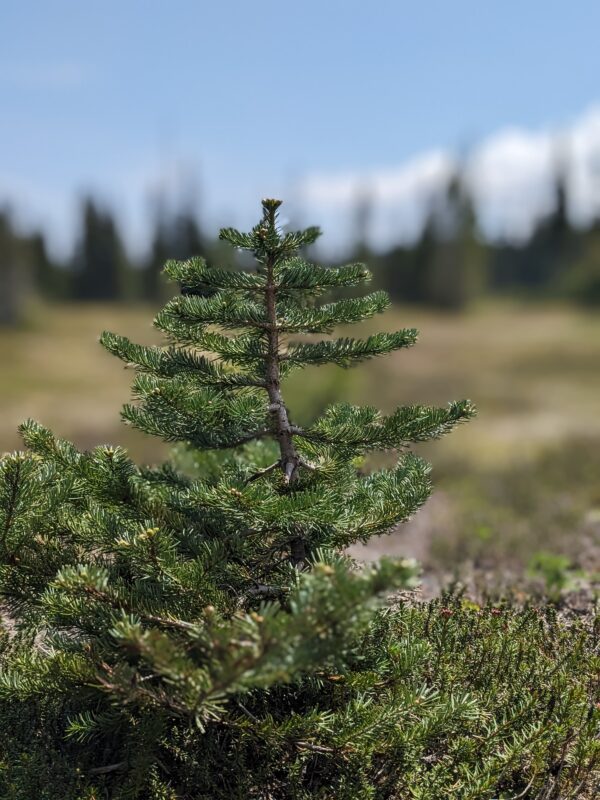
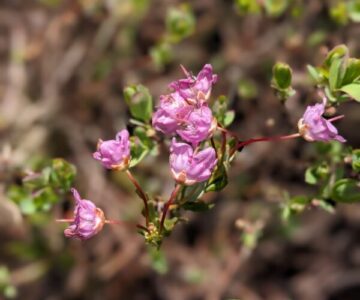
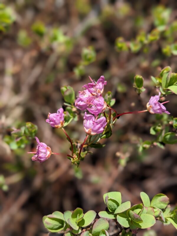
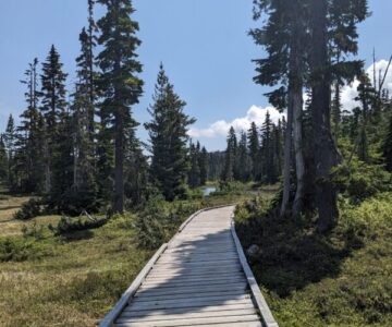
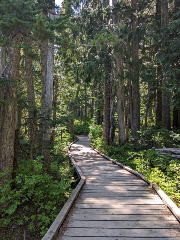
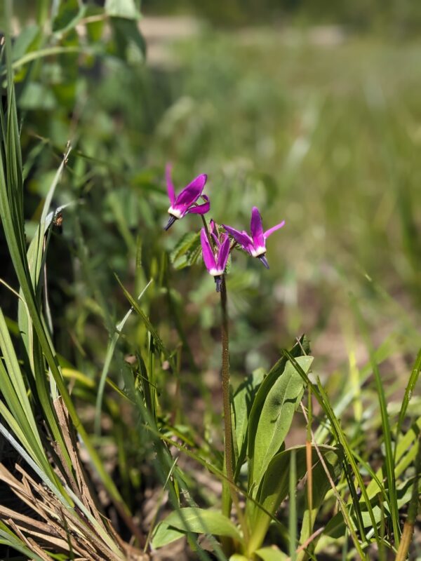
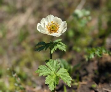
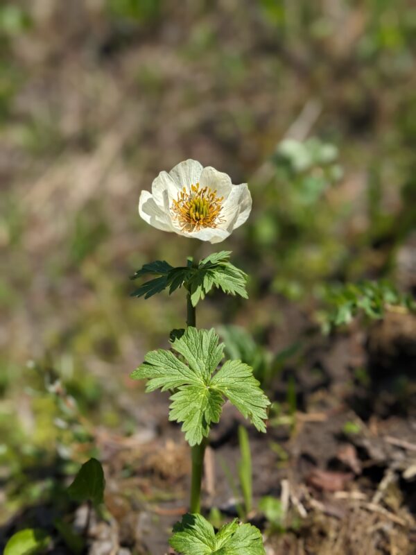
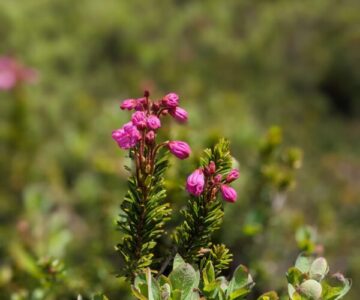
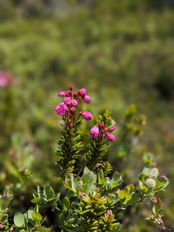
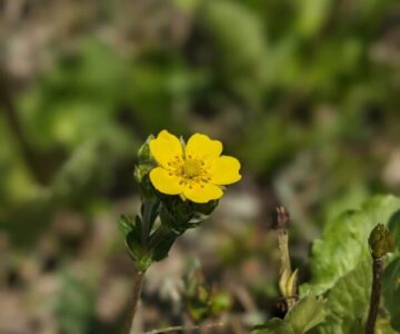
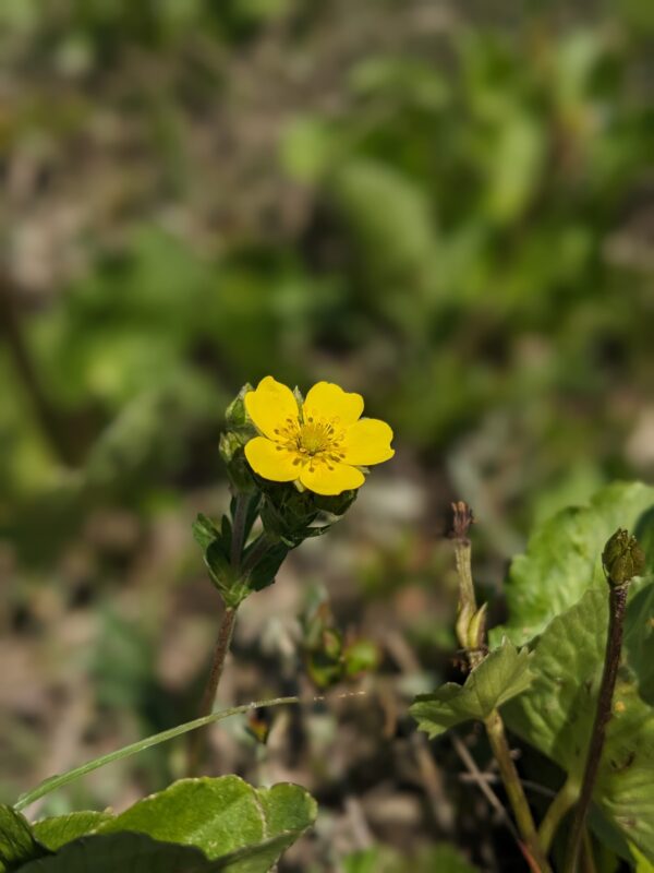
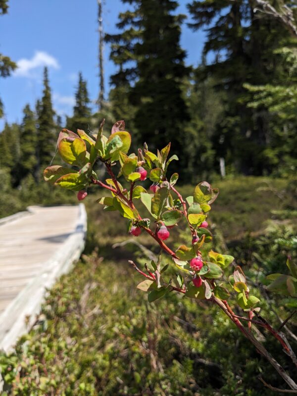
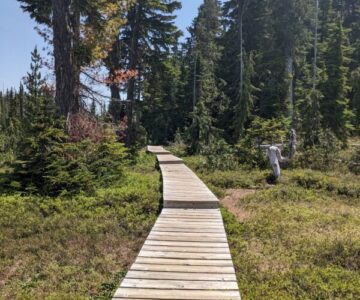
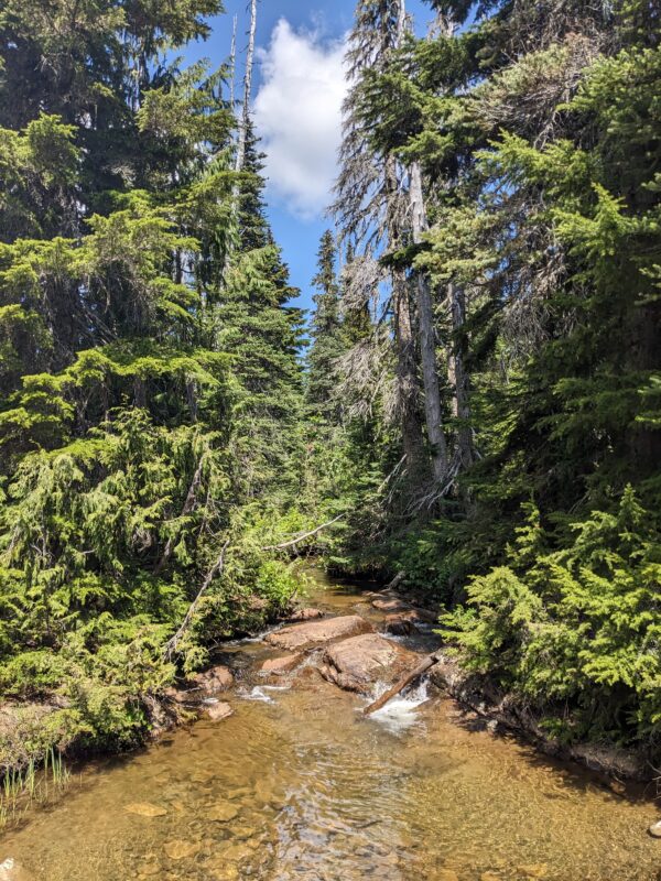
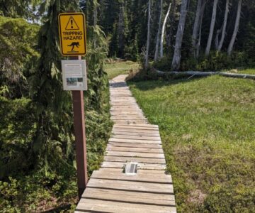
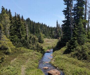
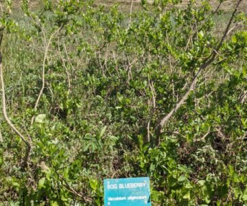
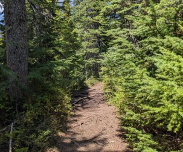
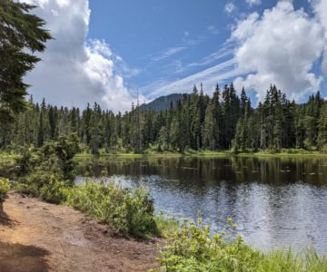
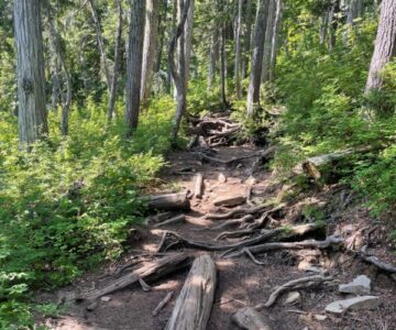
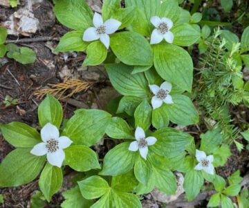
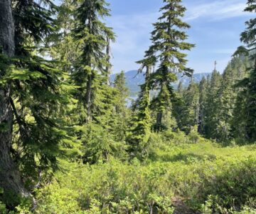
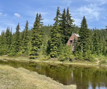
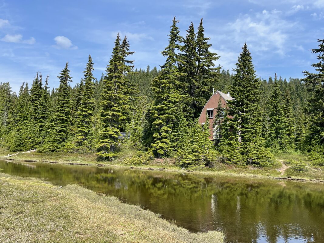
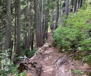
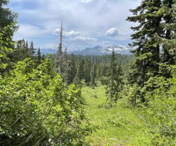
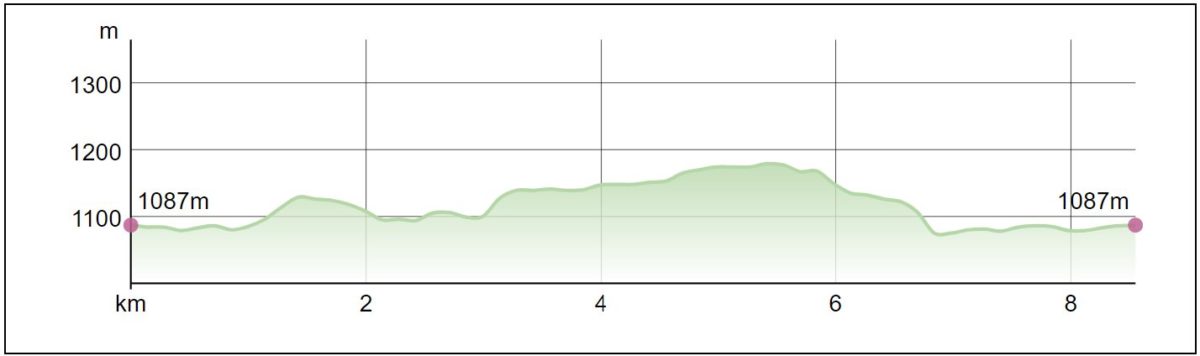
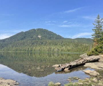
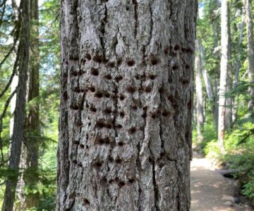
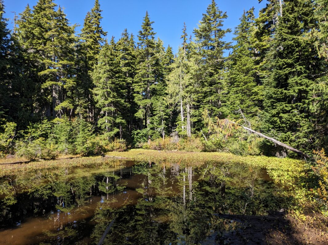
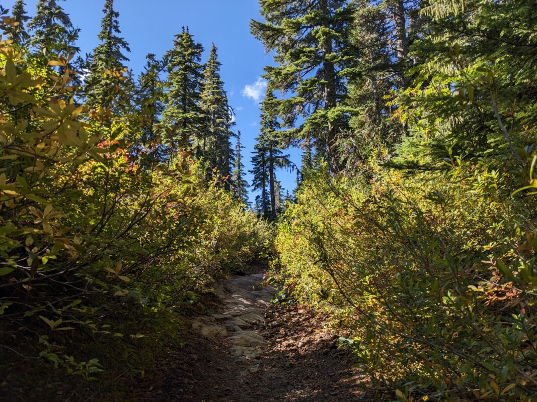
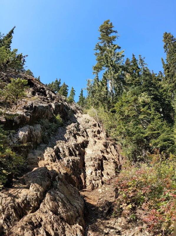
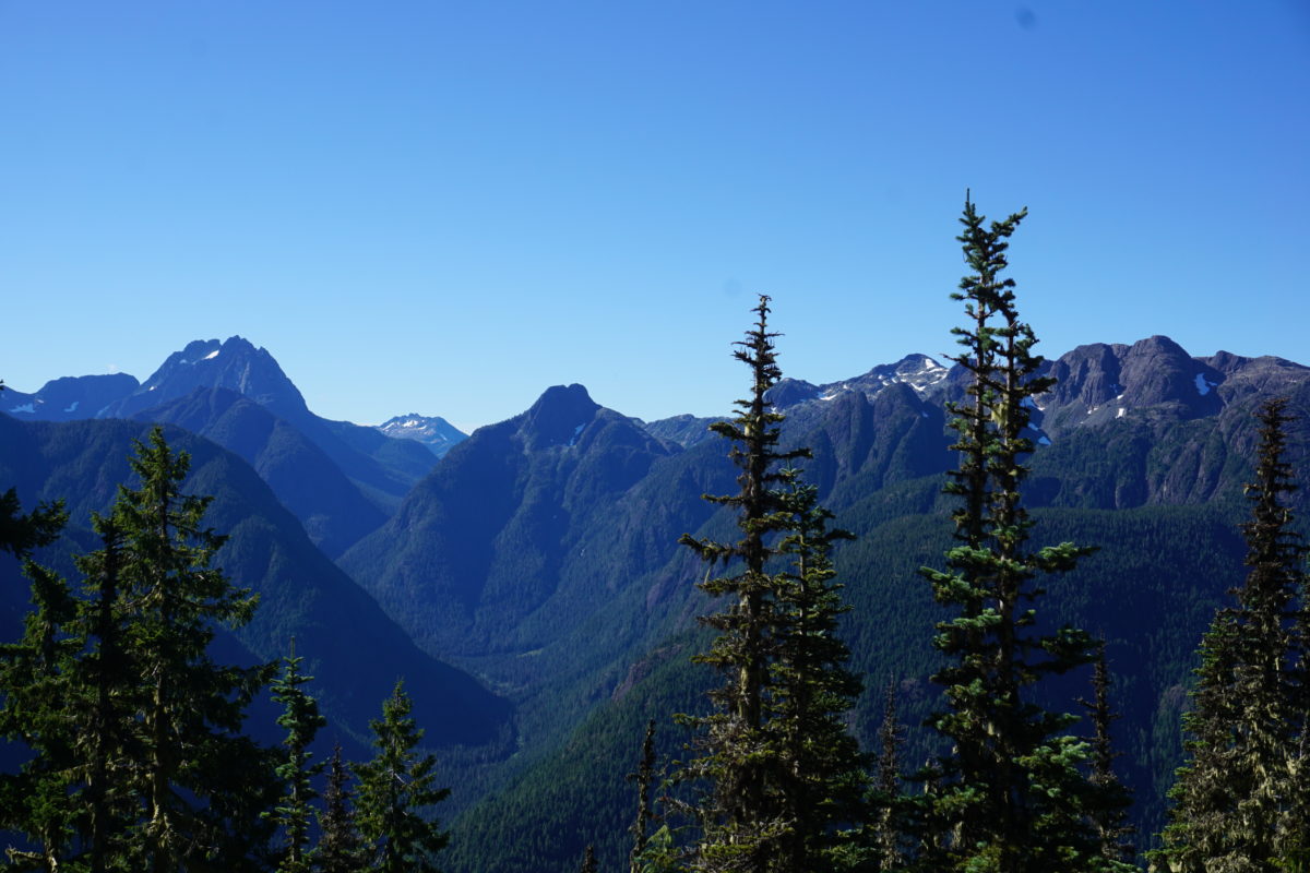
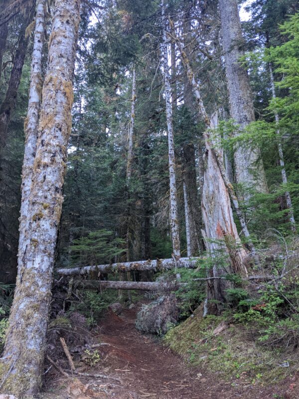
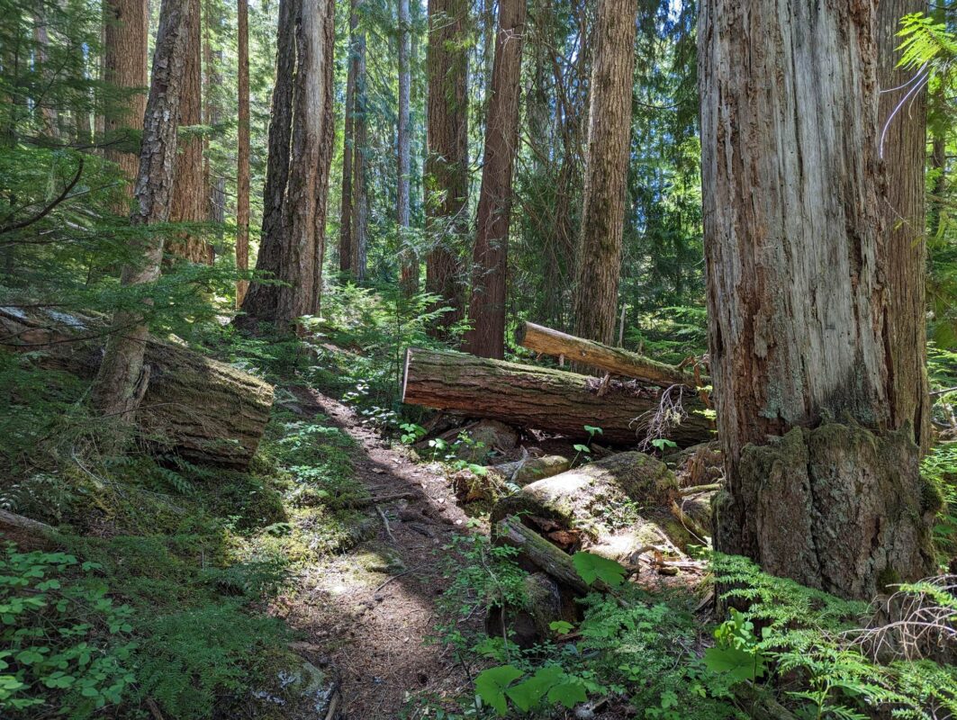
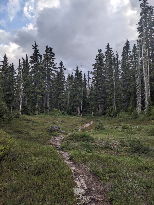
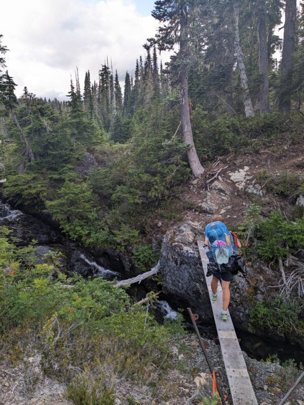
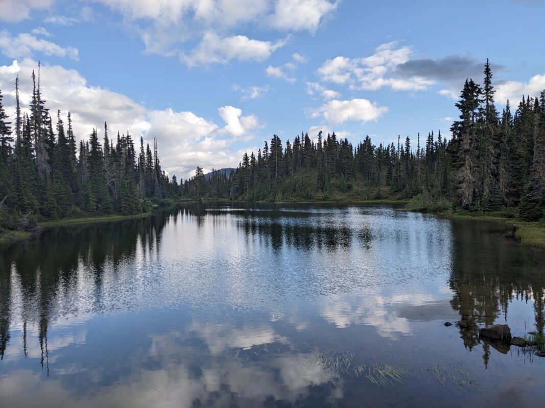
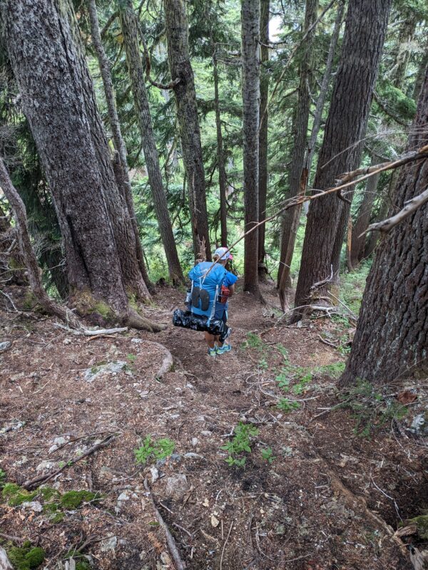
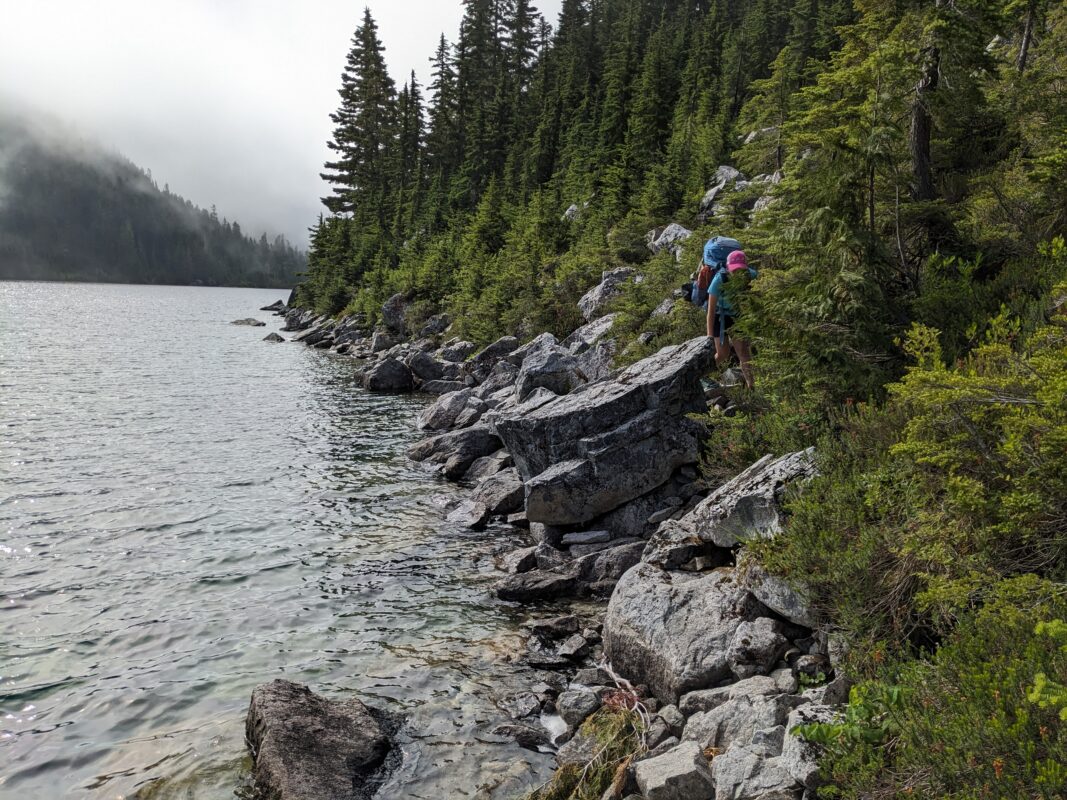
- Centennial Loop 2023_06
-
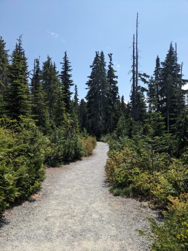
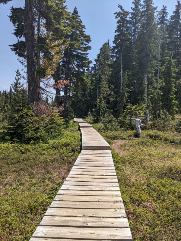
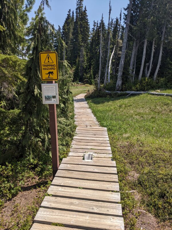
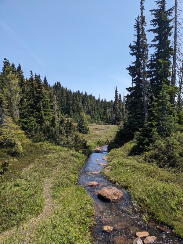
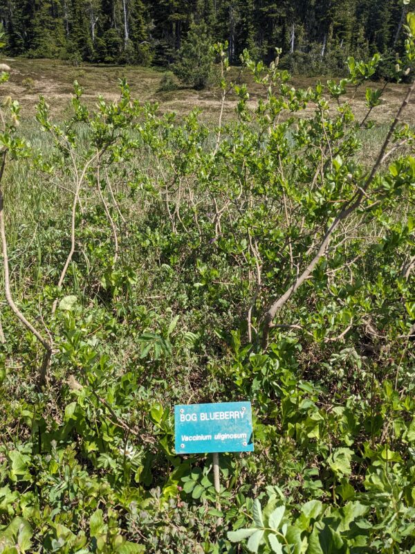
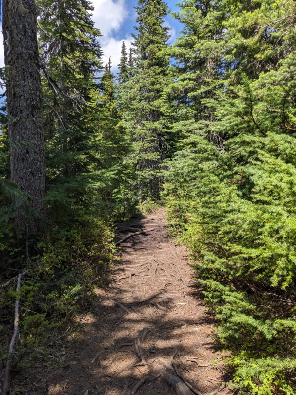
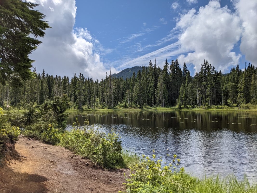
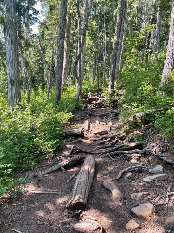
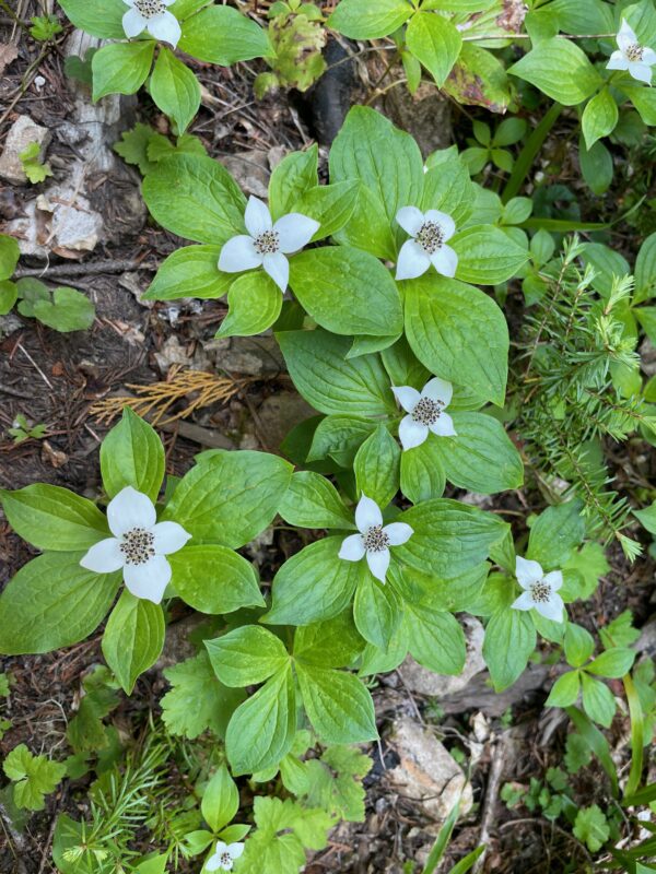
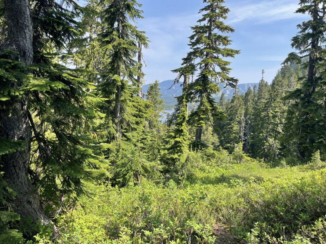
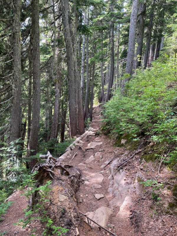
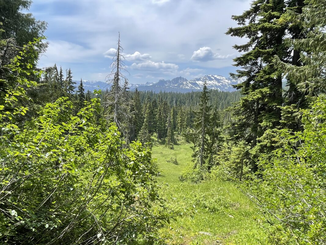
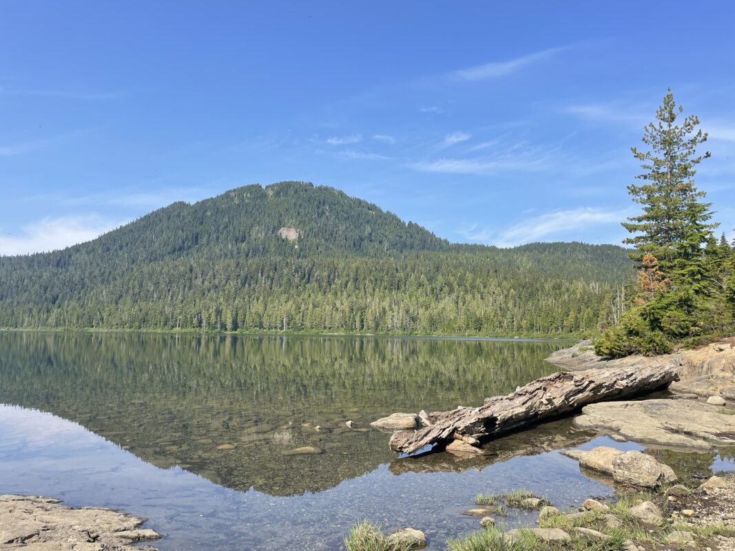
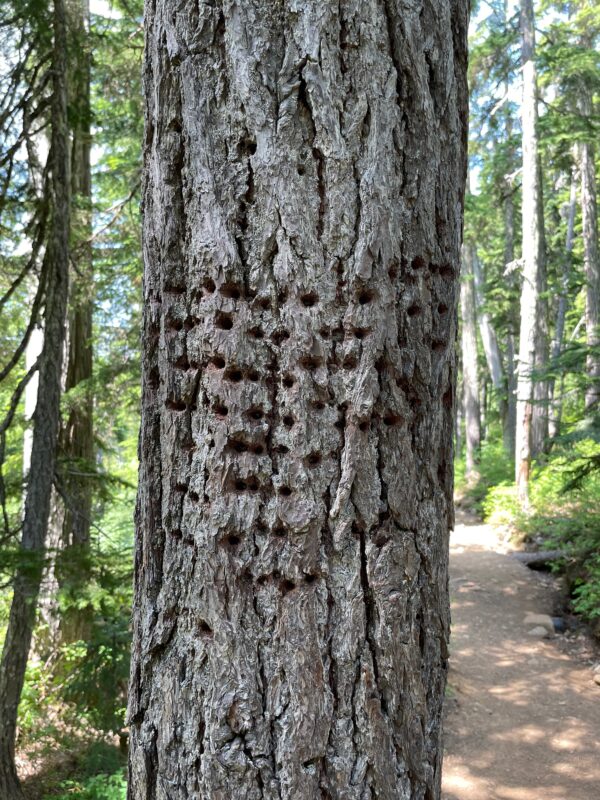
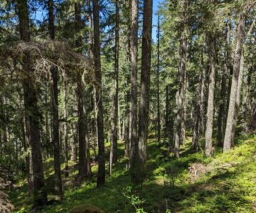
- Centennial Loop 2023_06
-
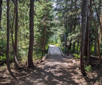
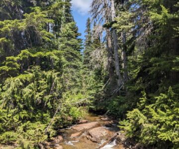
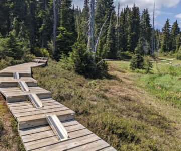
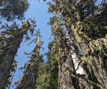
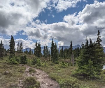
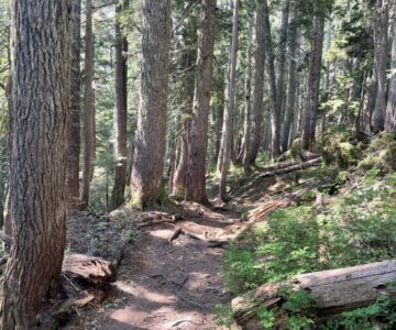
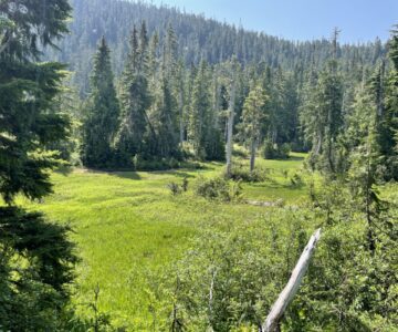
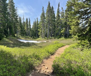
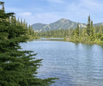
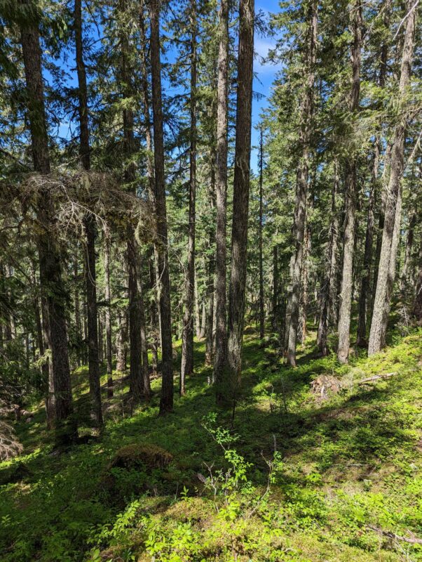
- Centennial Loop 2023_06
-
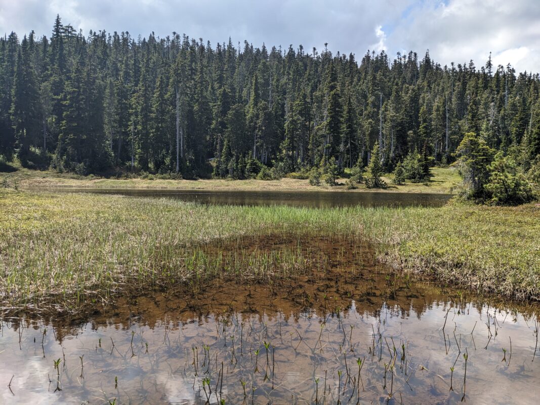
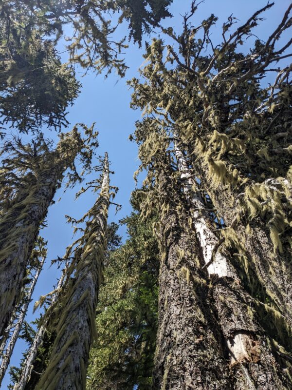
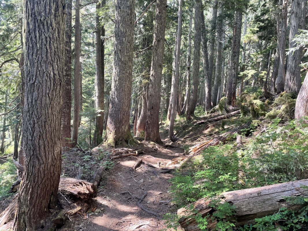
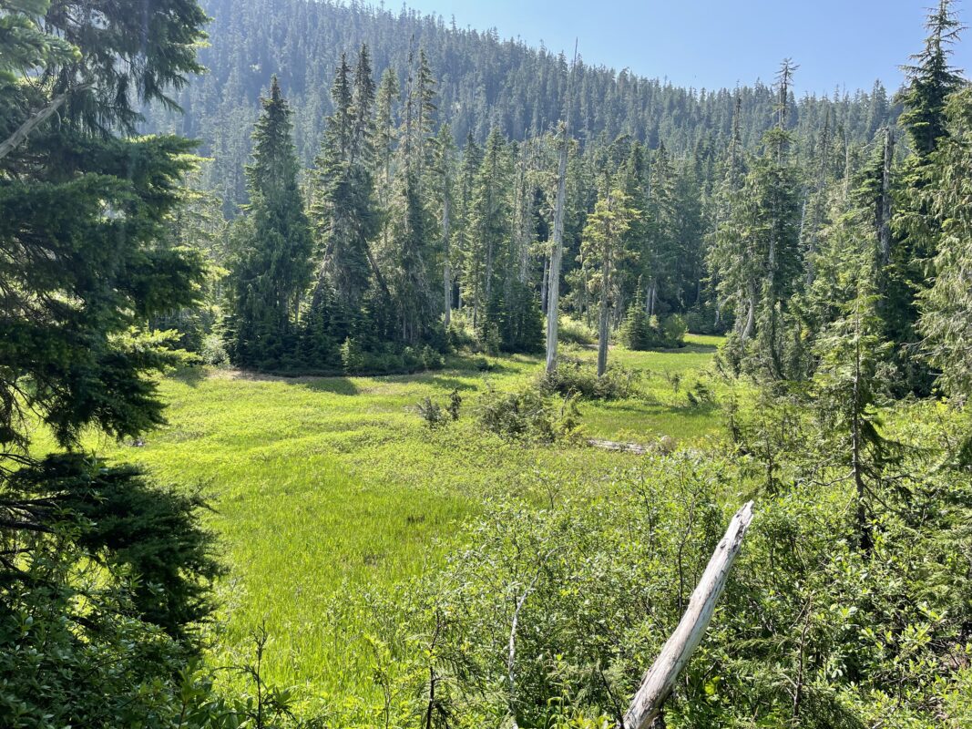
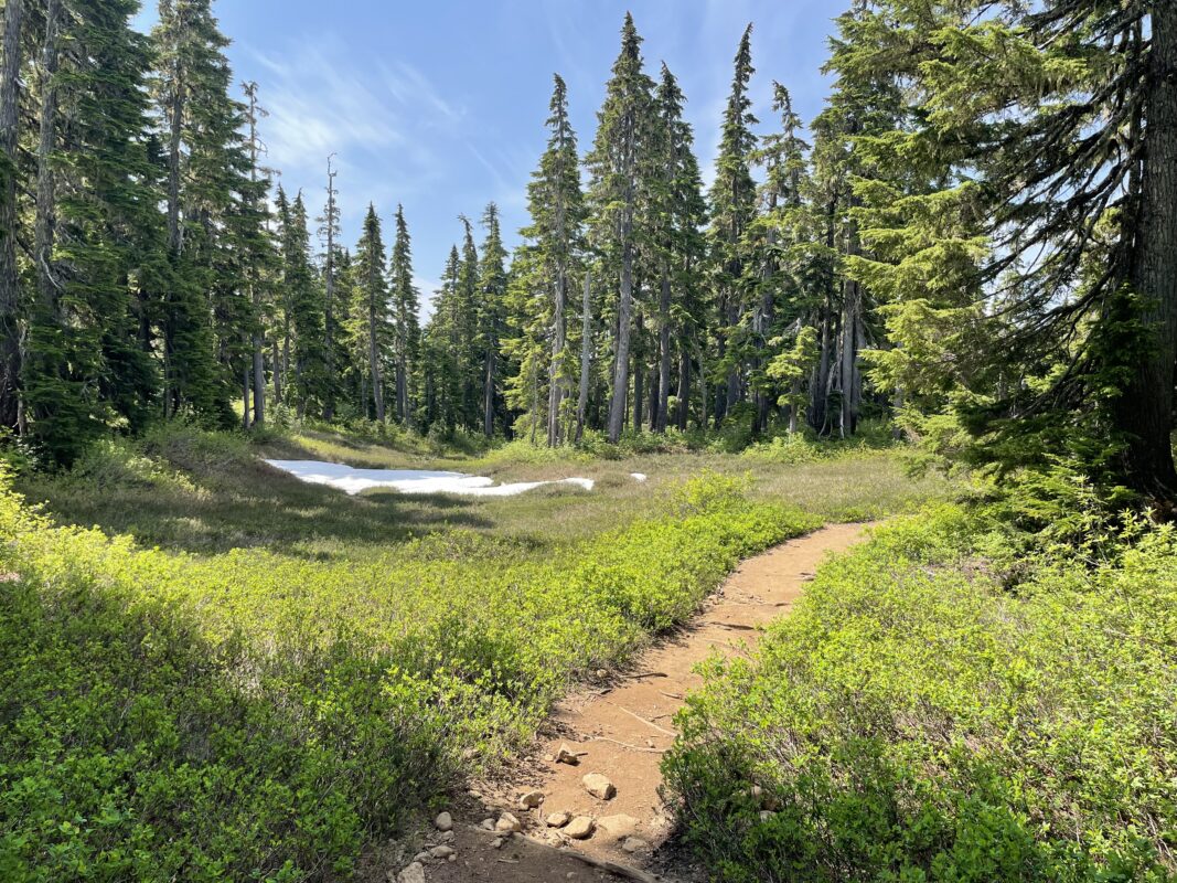
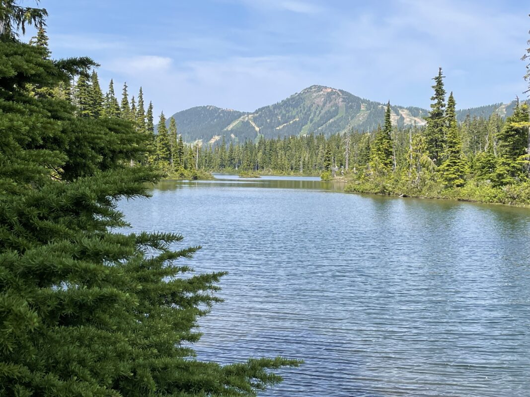
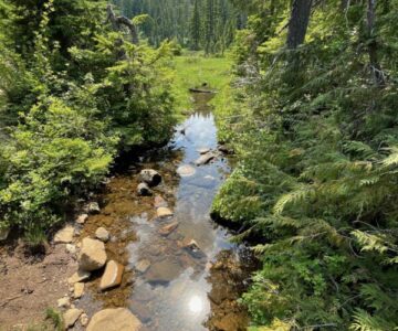
- Centennial Loop 2023_06
-
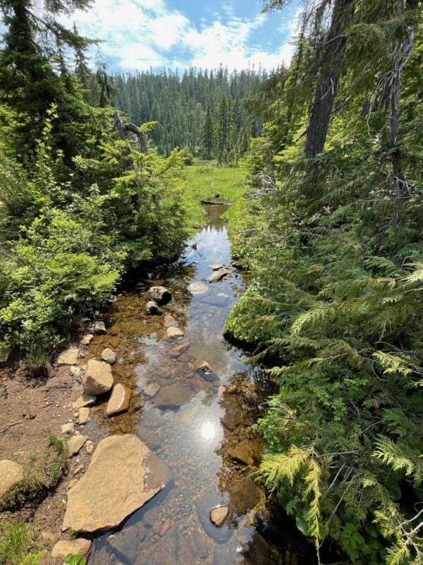
- Centennial Loop 2023_06
-
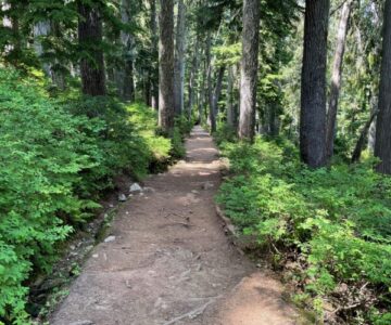
- Centennial Loop 2023_06
-
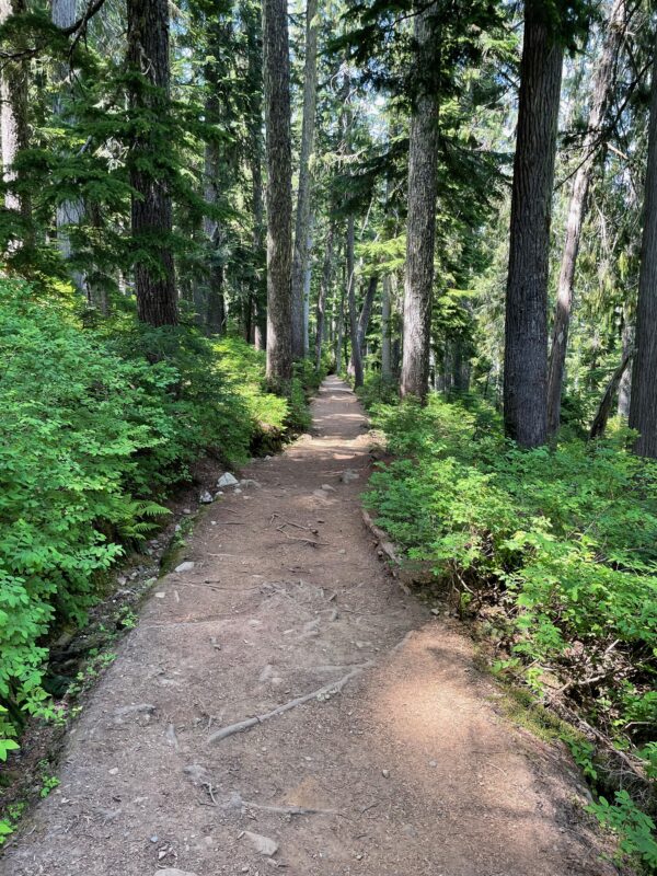
- Centennial Loop 2023_06
-
- Centennial Loop 2023_06
-
- Centennial Loop 2023_06
-
- Centennial Loop 2023_06
-
- Centennial Loop 2023_06
-
- Centennial Loop 2023_06
-
- Centennial Loop 2023_06
-
- Centennial Loop 2023_06
-
- Centennial Loop 2023_06
-
- Centennial Loop 2023_06
-
- Centennial Loop 2023_06
-
- Centennial Loop 2023_06
-
- Centennial Loop 2023_06
-
- Centennial Loop 2023_06
-
- Centennial Loop 2023_06
-
- Centennial Loop 2023_06
-
- Centennial Loop 2023_06
-
- Centennial Loop 2023_06
-
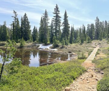
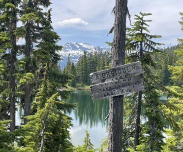
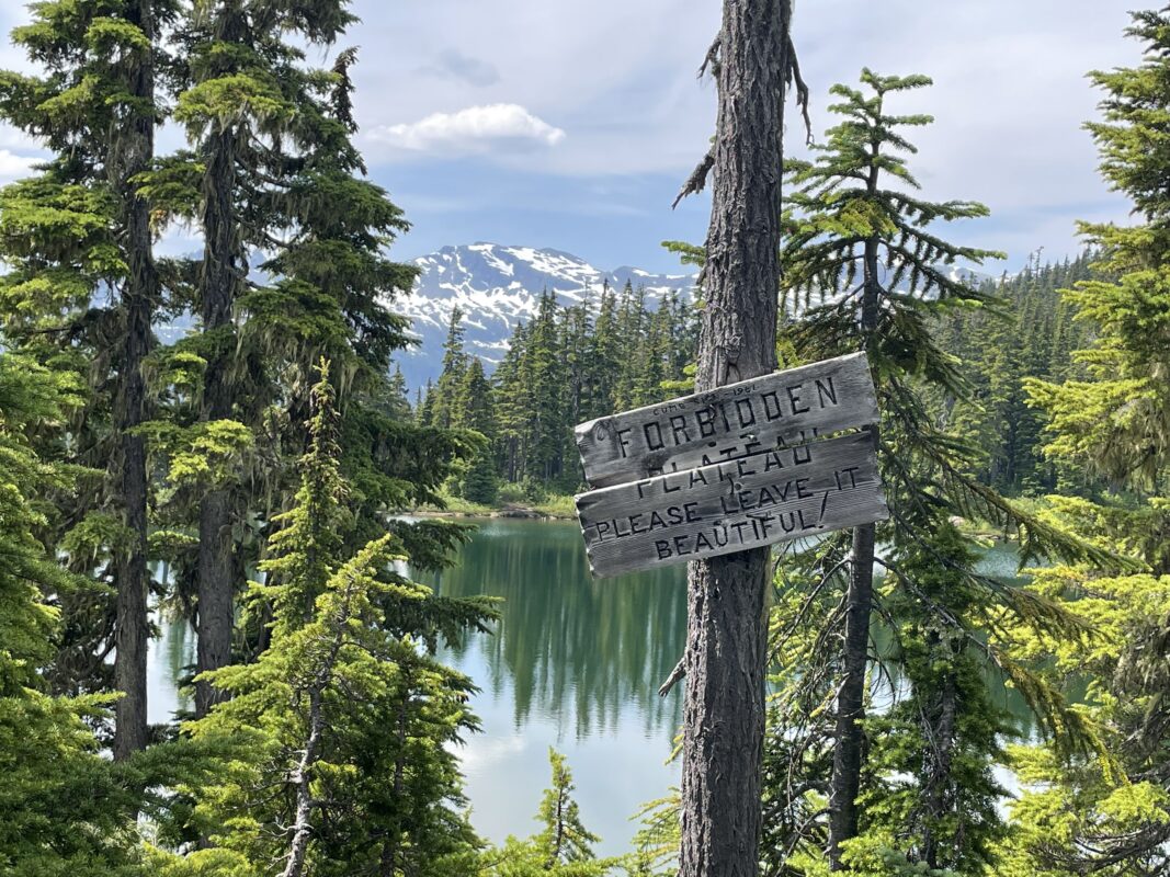
- Centennial Loop 2023_06
-
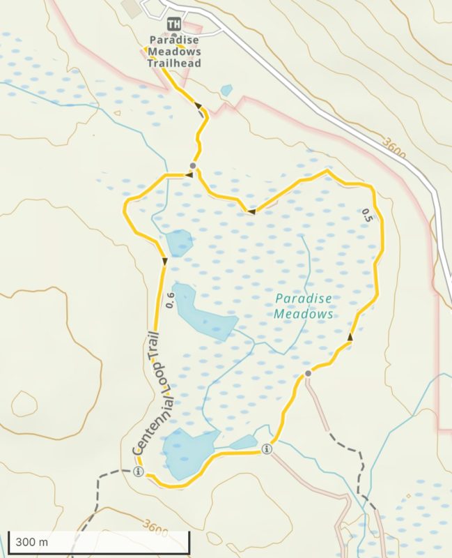
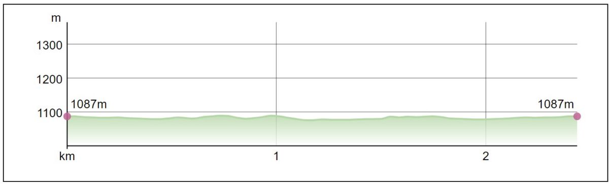
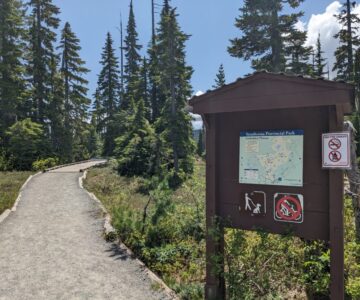
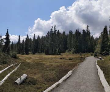
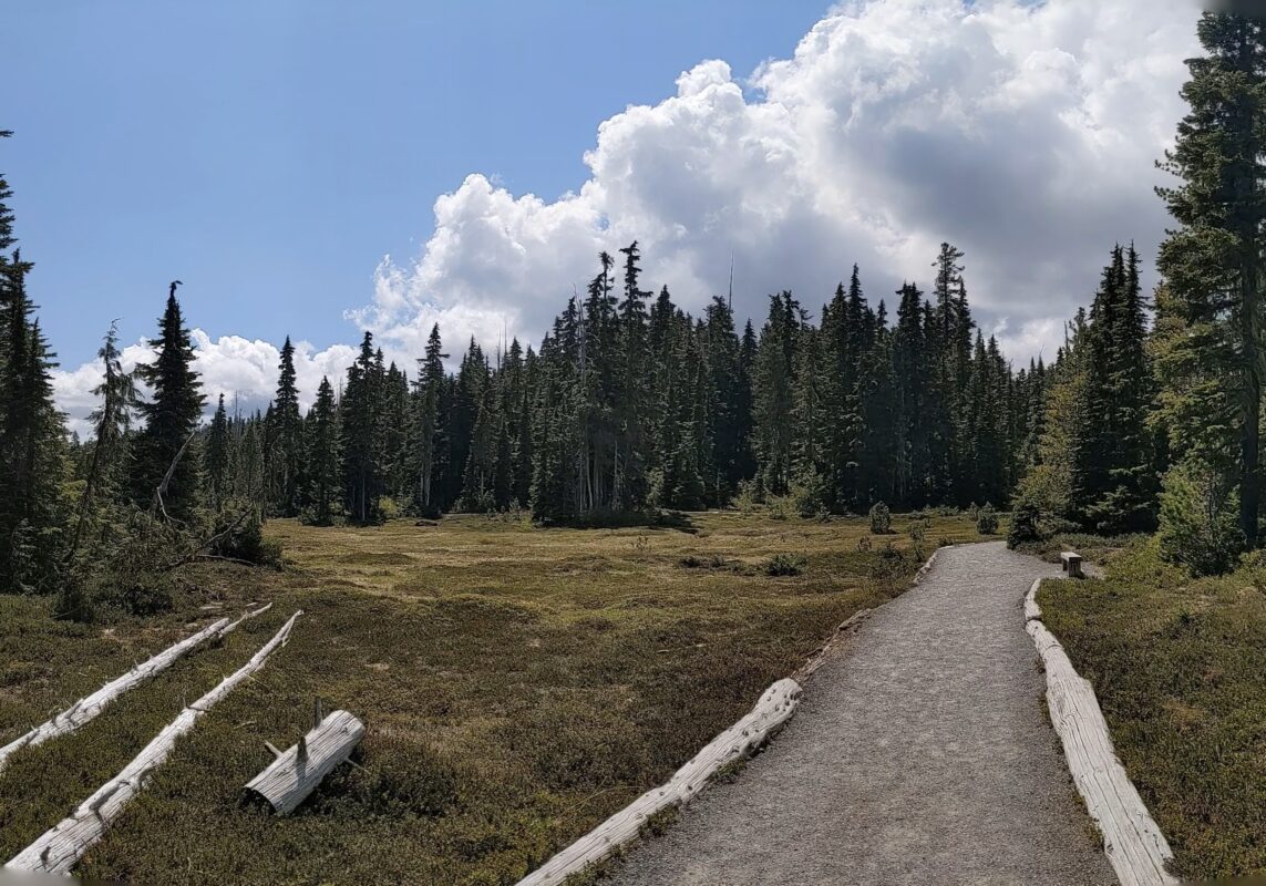
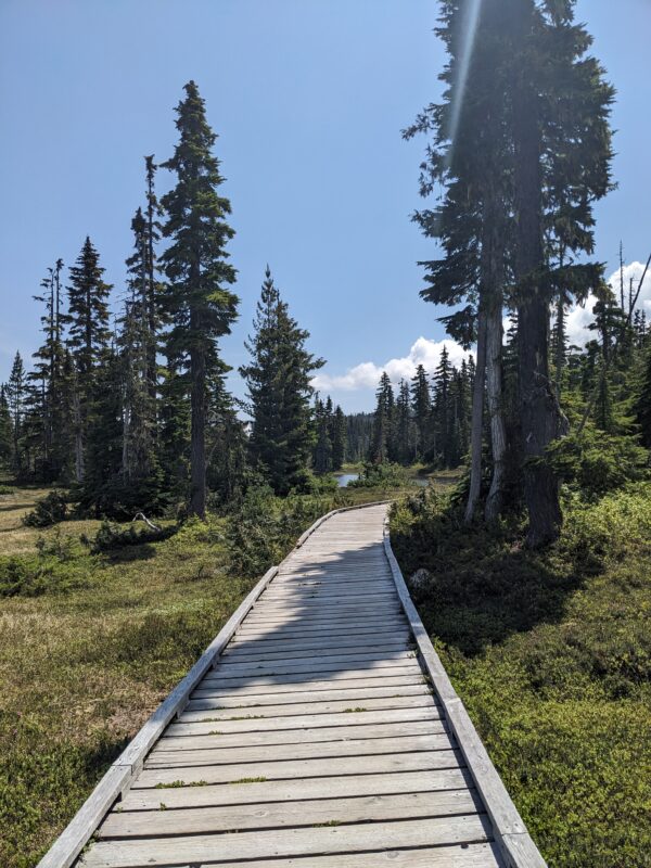
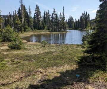
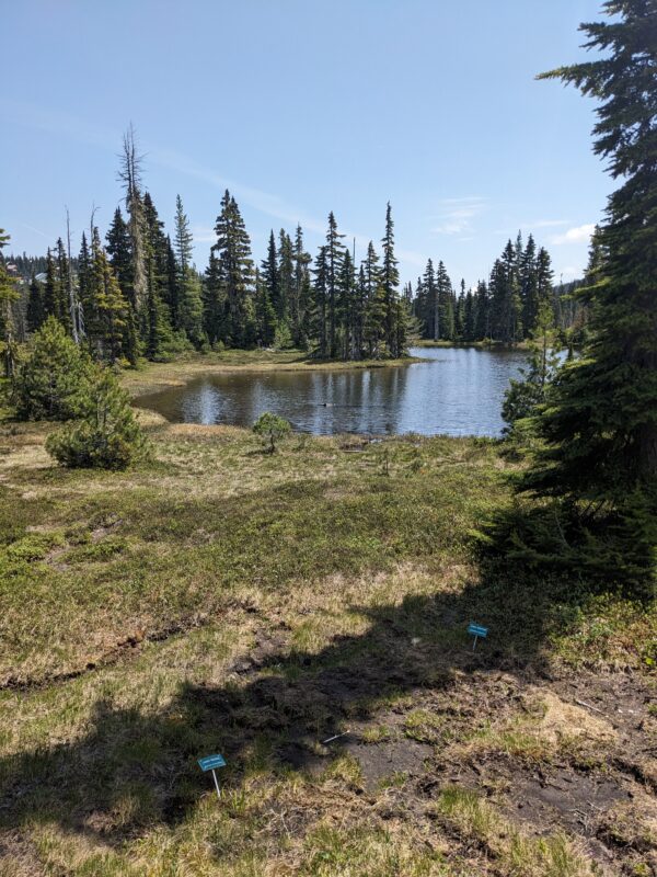
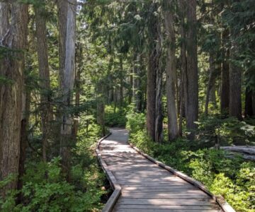
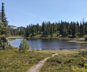
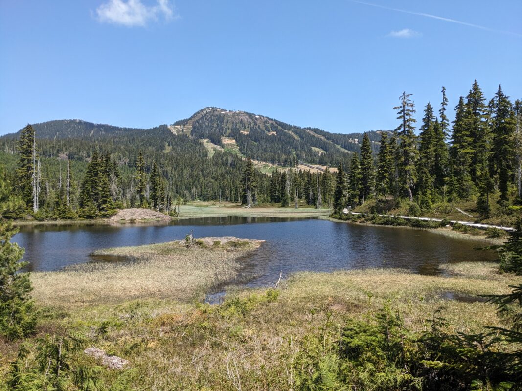
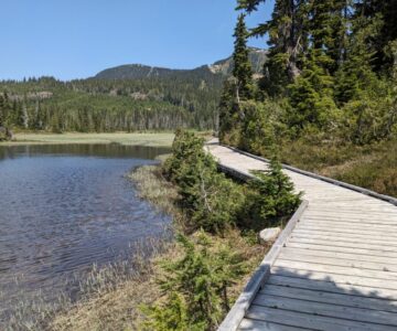
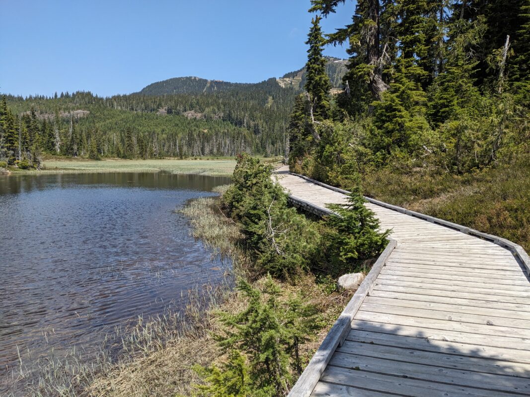
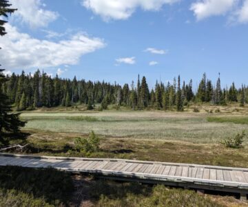
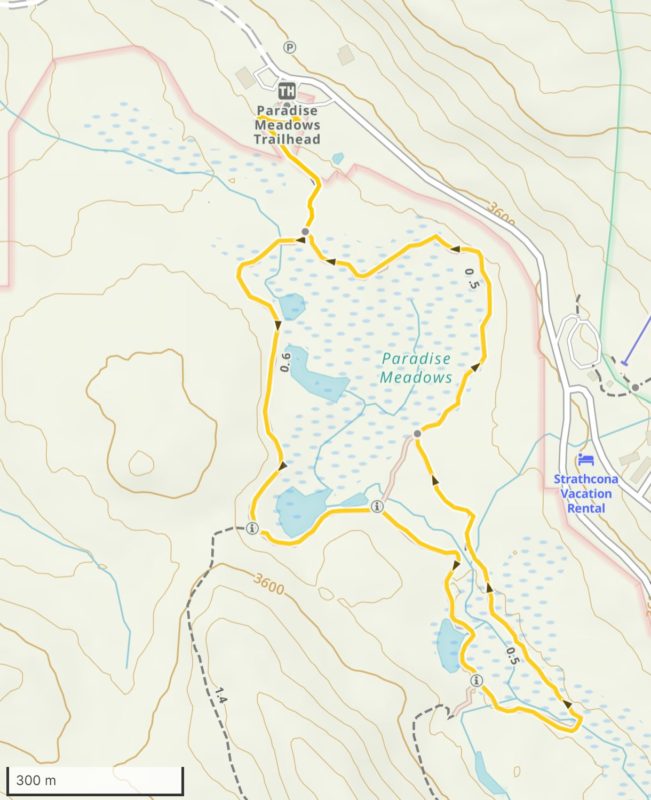
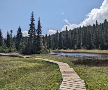
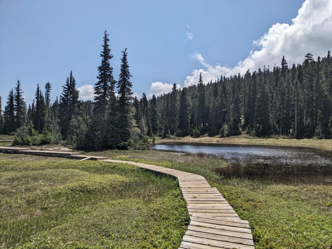
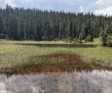
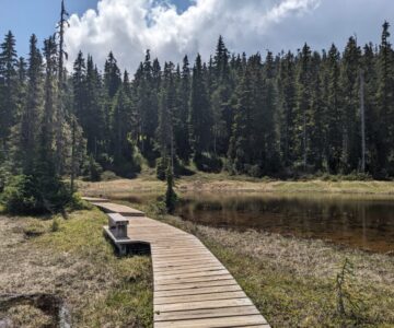
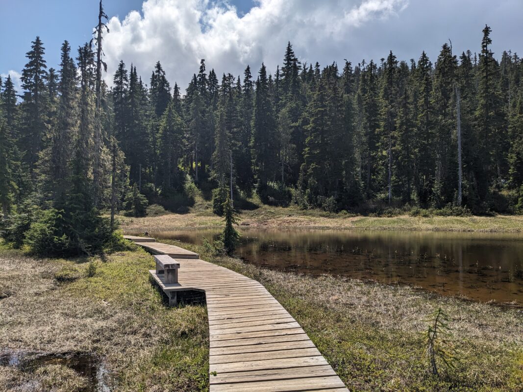
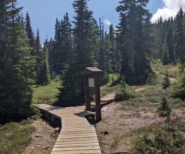
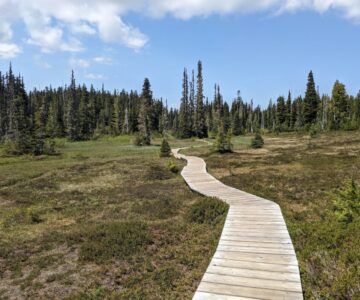
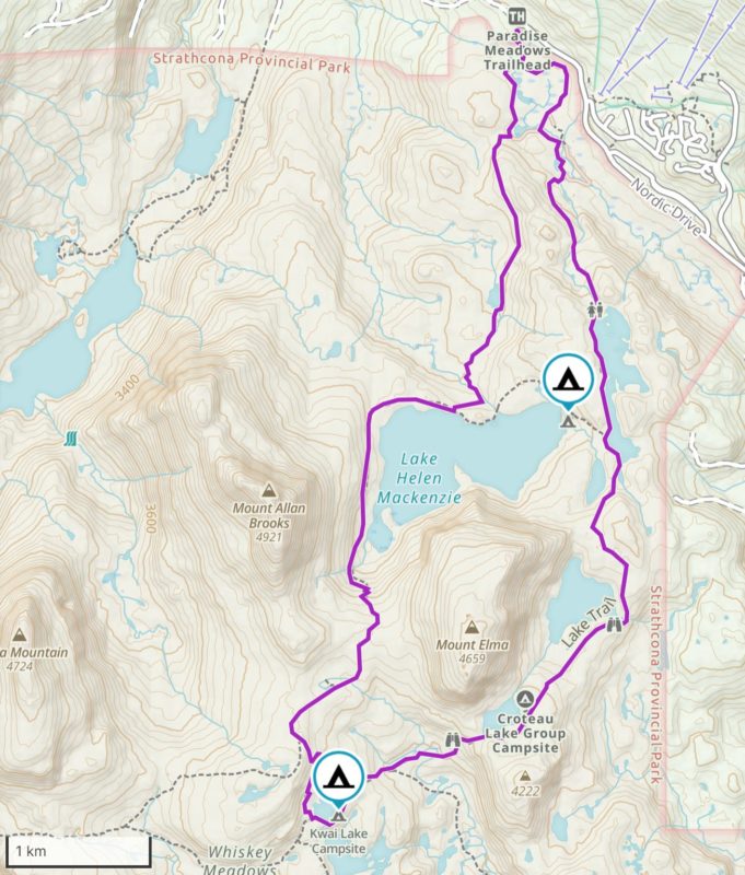
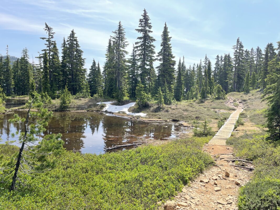
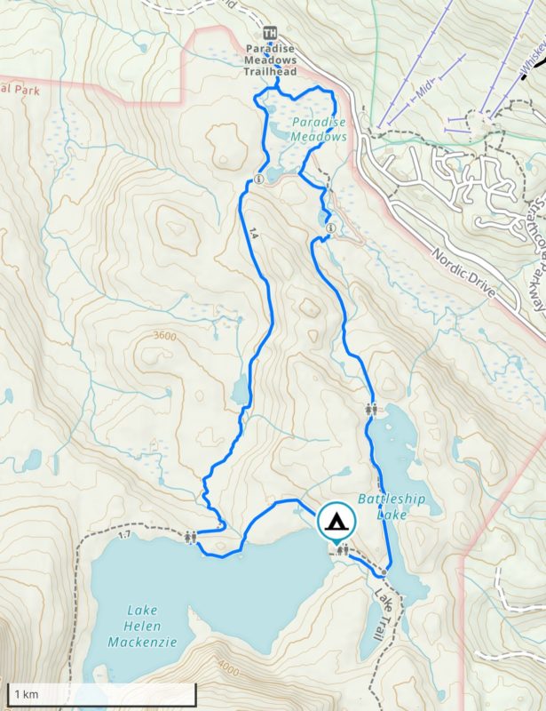
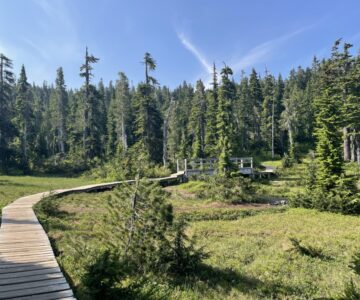
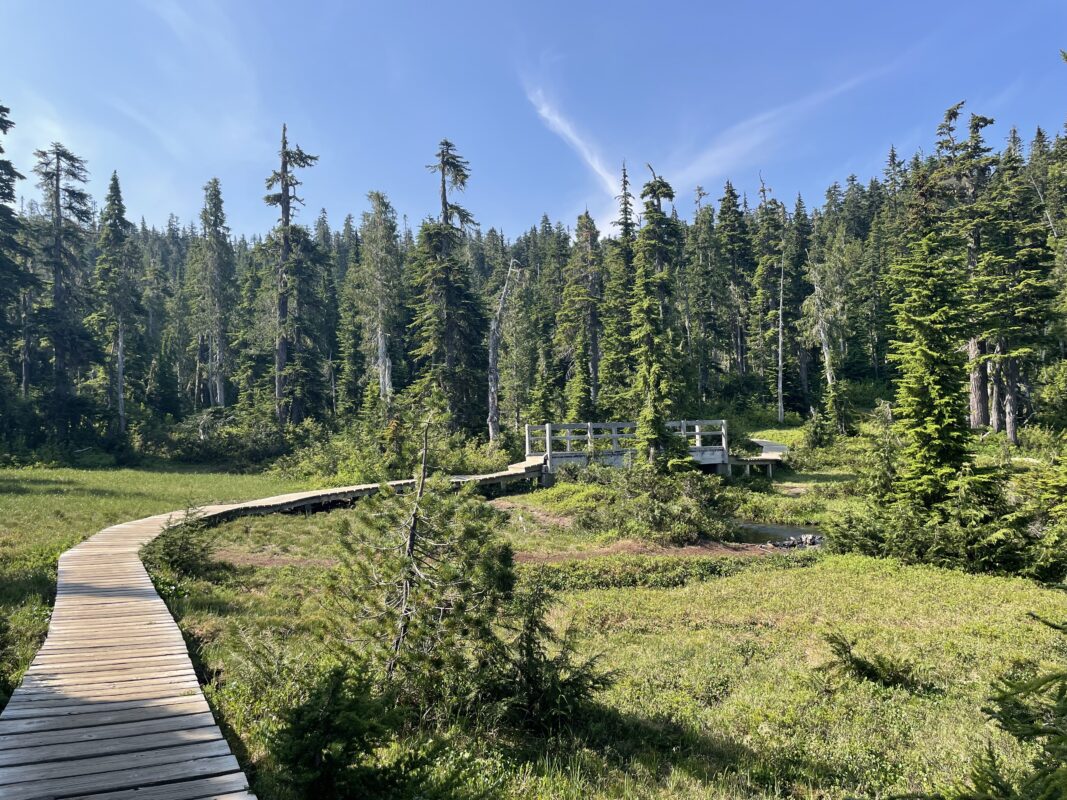
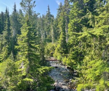
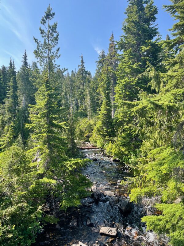
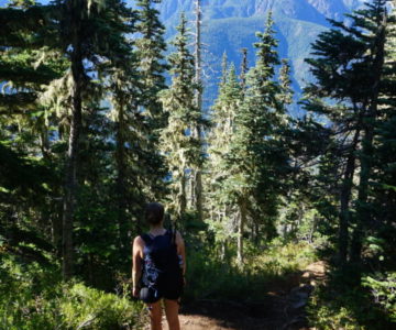
- Paradise Meadows Loop Trail 2023_06
-
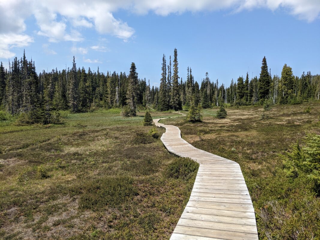
- Paradise Meadows Loop Trail 2023_06
-
- Paradise Meadows Loop Trail 2023_06
-
- Paradise Meadows Loop Trail 2023_06
-
- Paradise Meadows Loop Trail 2023_06
-
- Paradise Meadows Loop Trail 2023_06
-
- Paradise Meadows Loop Trail 2023_06
-
- Paradise Meadows Loop Trail 2023_06
-
- Paradise Meadows Loop Trail 2023_06

-
- Paradise Meadows Loop Trail 2023_06
-
- Paradise Meadows Loop Trail 2023_06
-
- Paradise Meadows Loop Trail 2023_06
-
- Paradise Meadows Loop Trail 2023_06
-
- Paradise Meadows Loop Trail 2023_06
-
- Paradise Meadows Loop Trail 2023_06
-
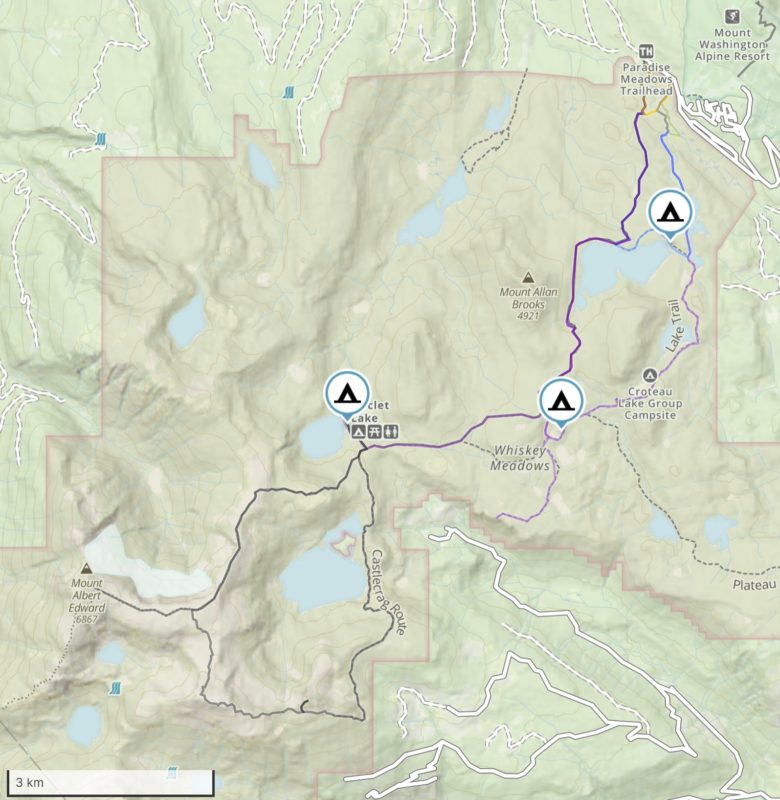
- Paradise Meadows Campgrounds
-
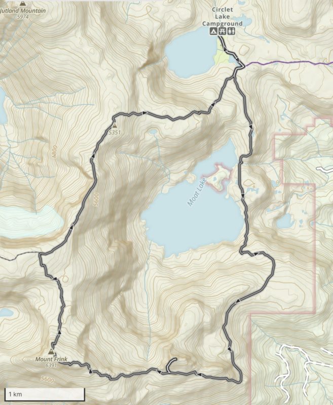
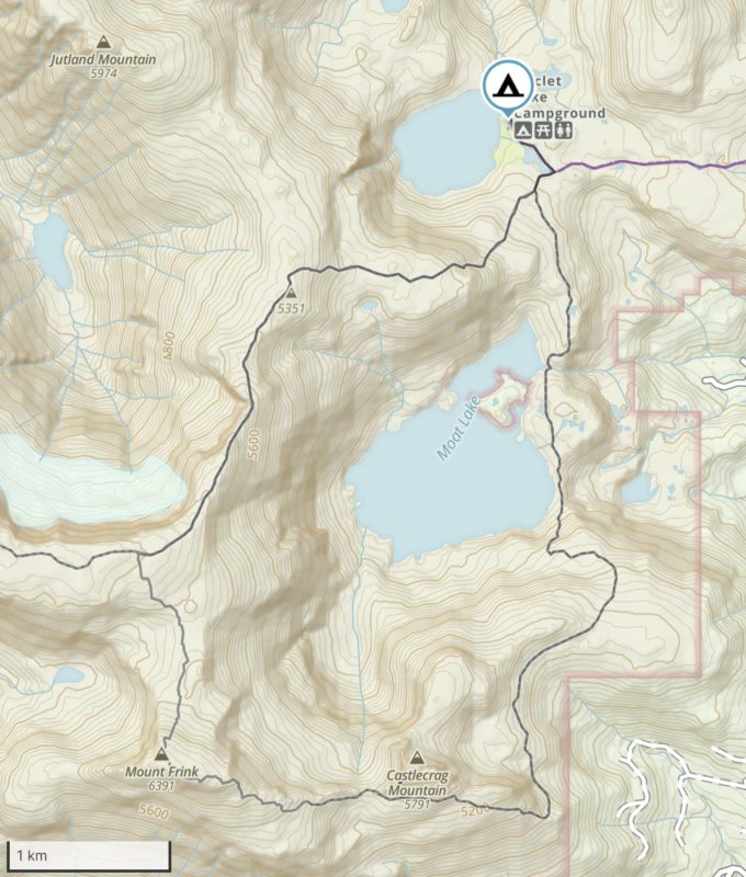
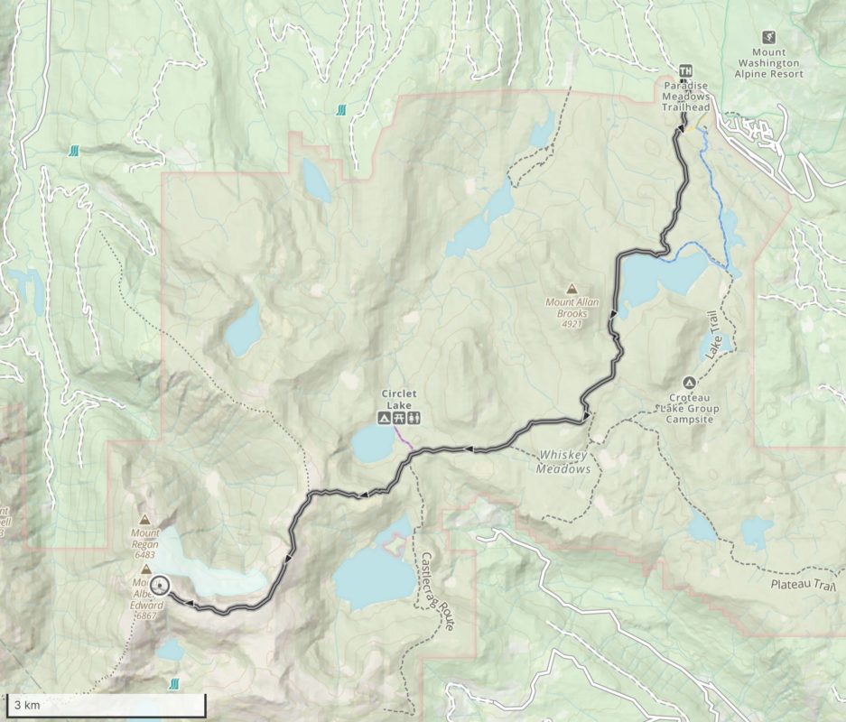
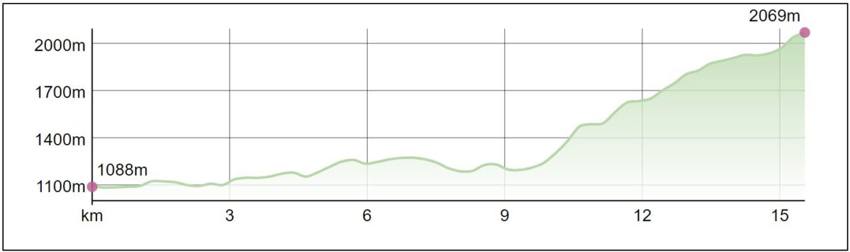
- Circlet Lake Camping Map
-
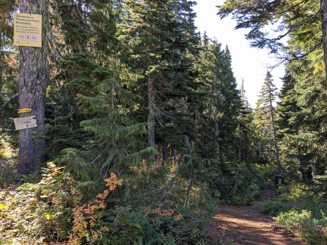
- Trail to Circlet
-
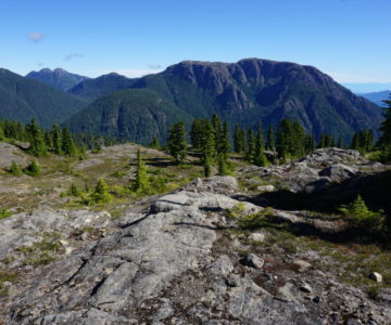
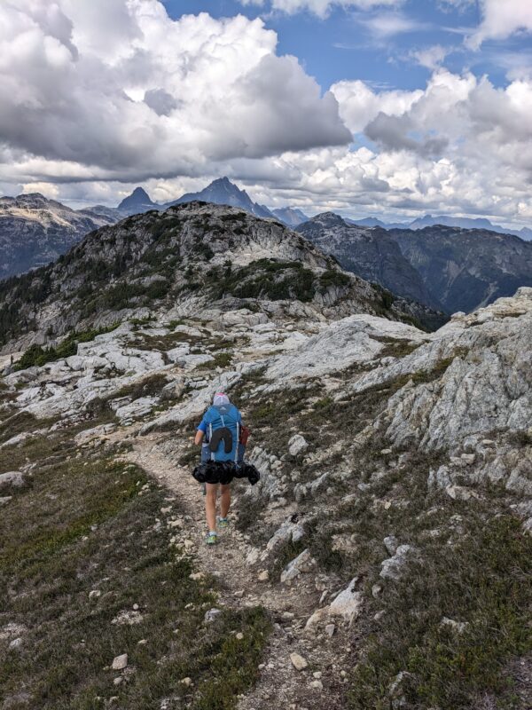
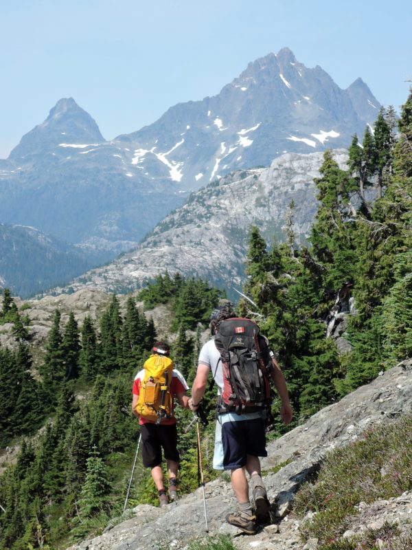
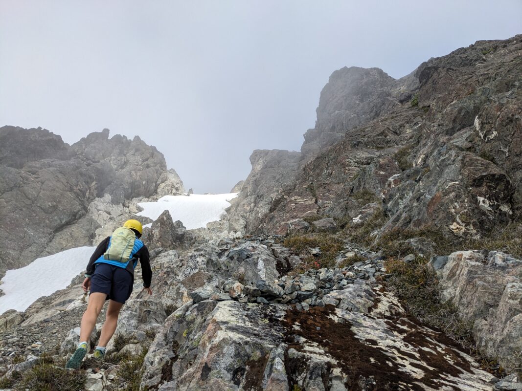
- Trail to Castlecrag
-
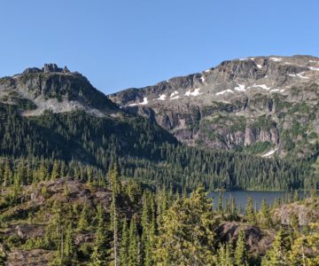
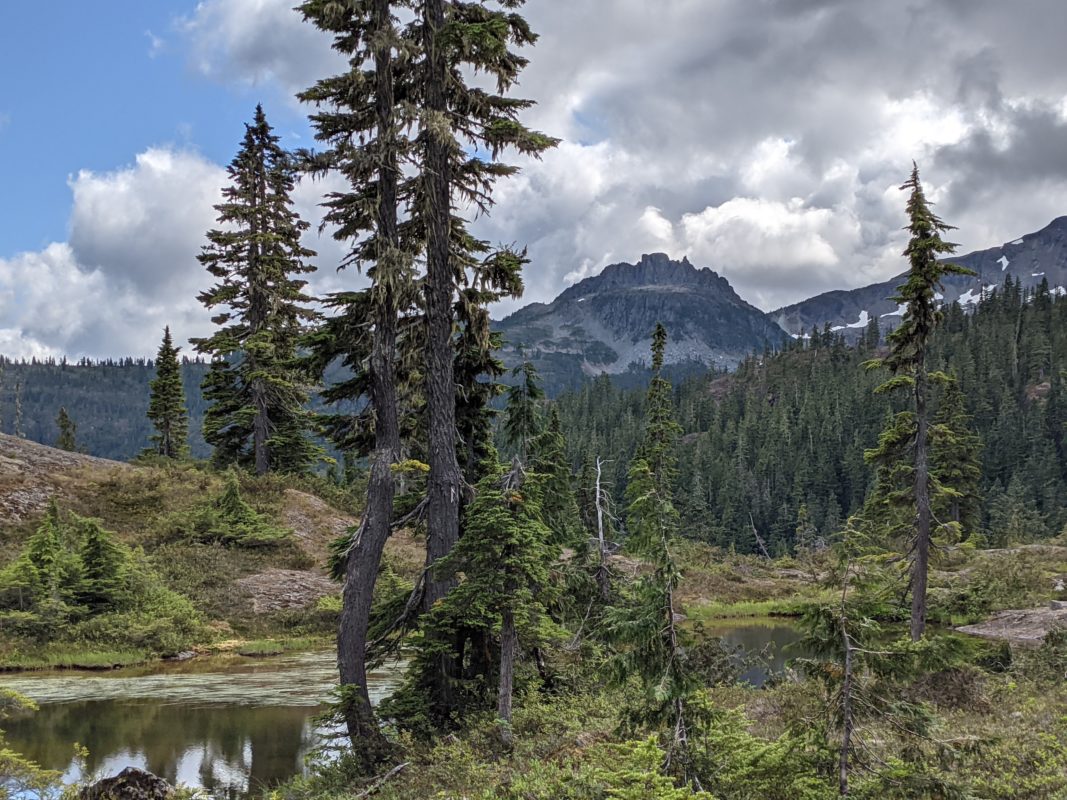
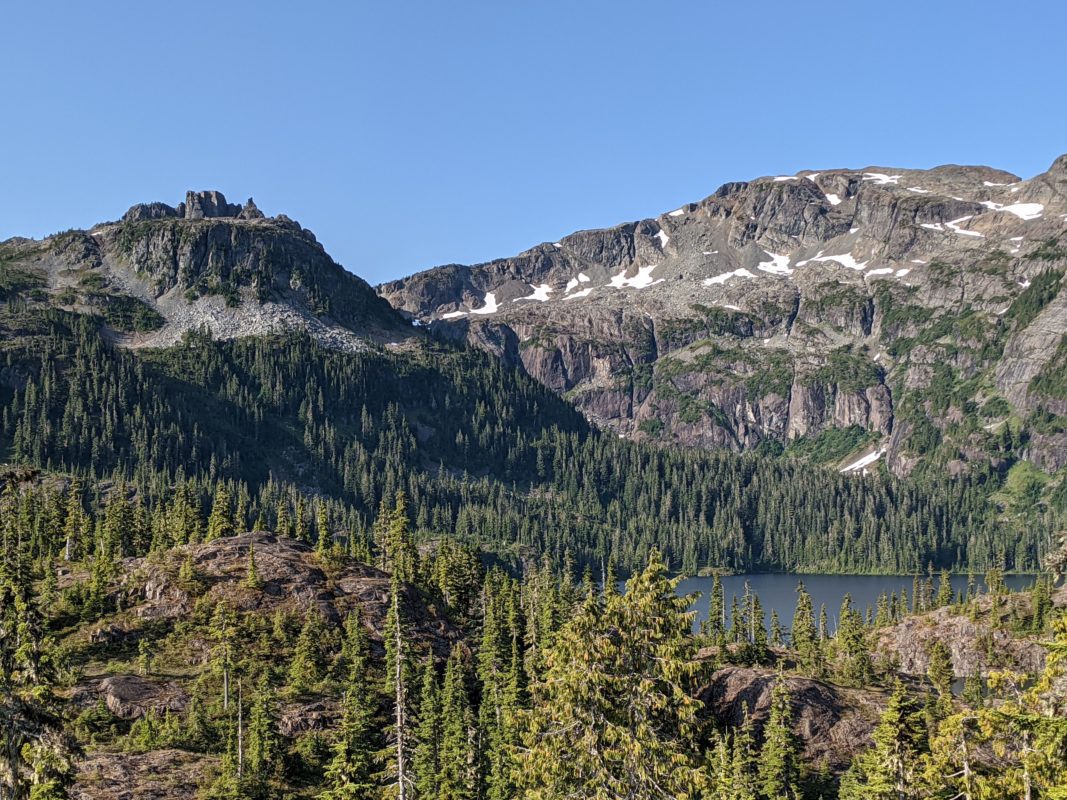
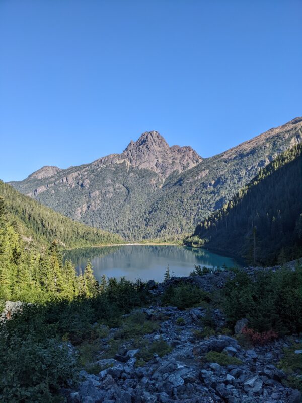
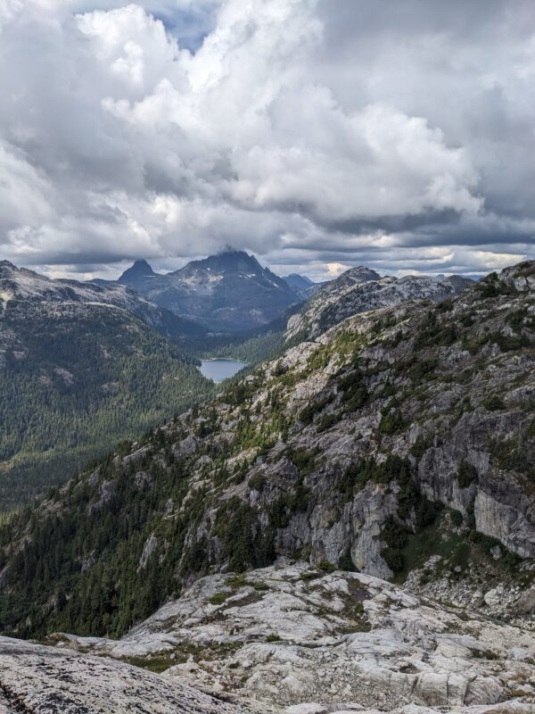
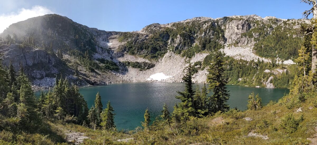
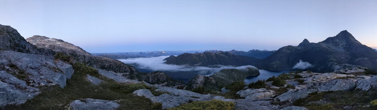
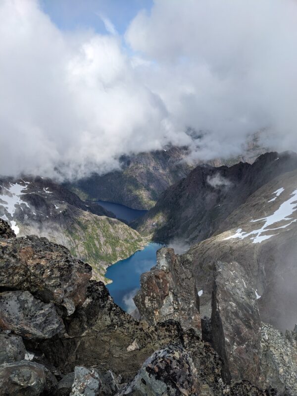
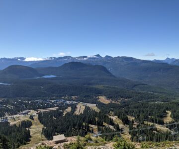
- Moat Lake, Castlecrag (Left), Mt. Frink (Right)
-
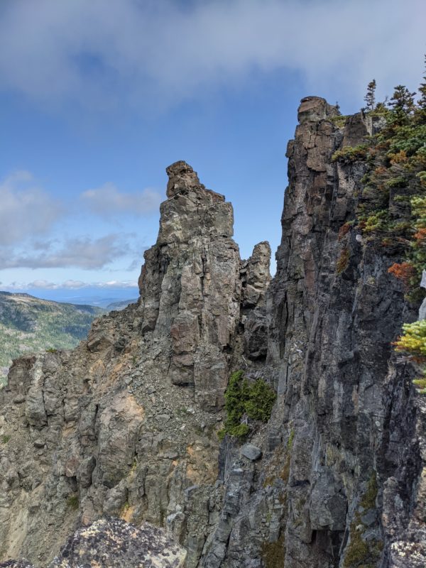
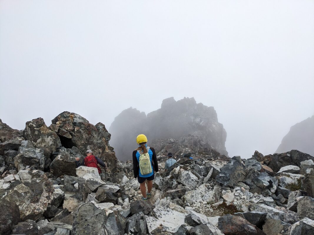
- Trail to Castlecrag
-
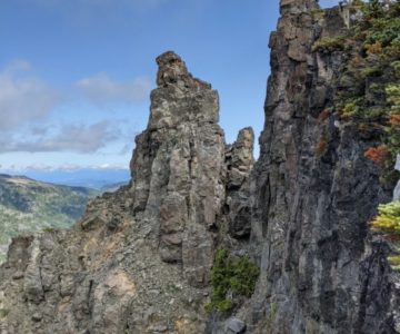
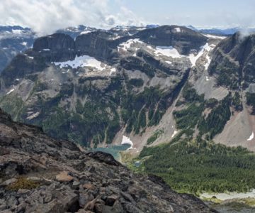
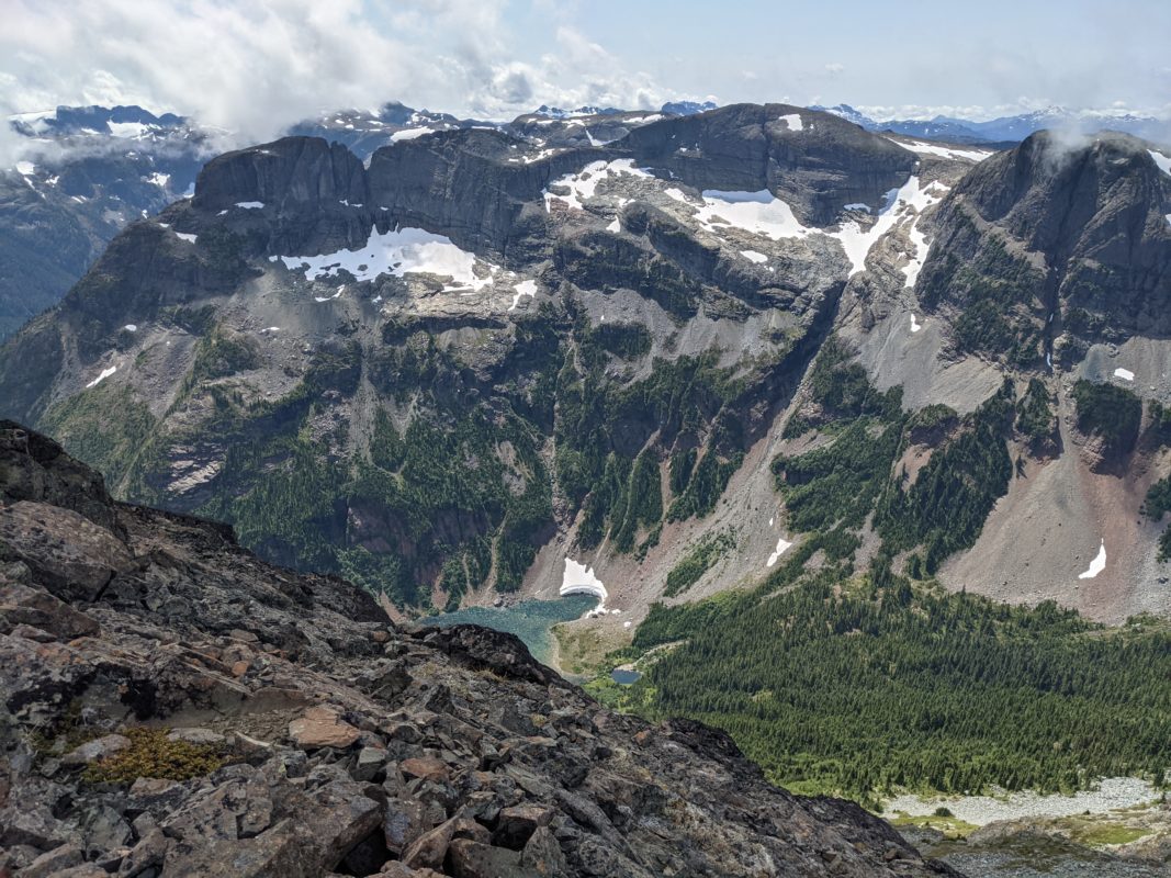
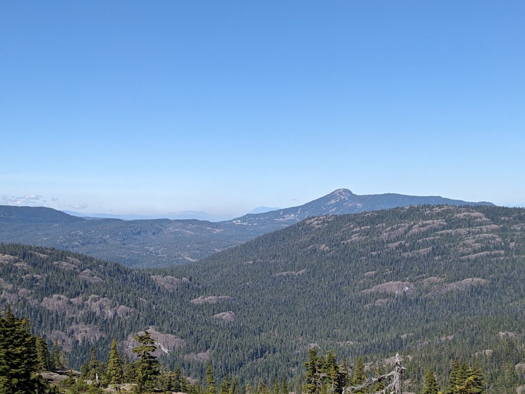
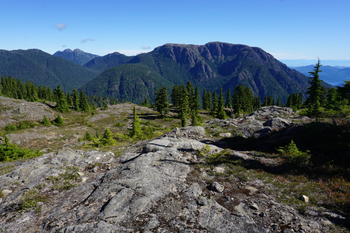
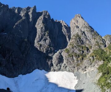
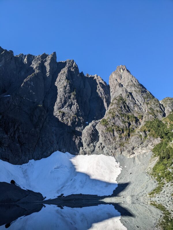
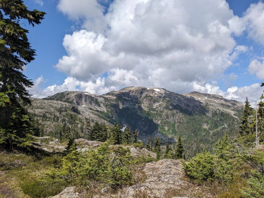
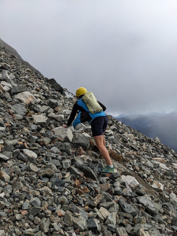
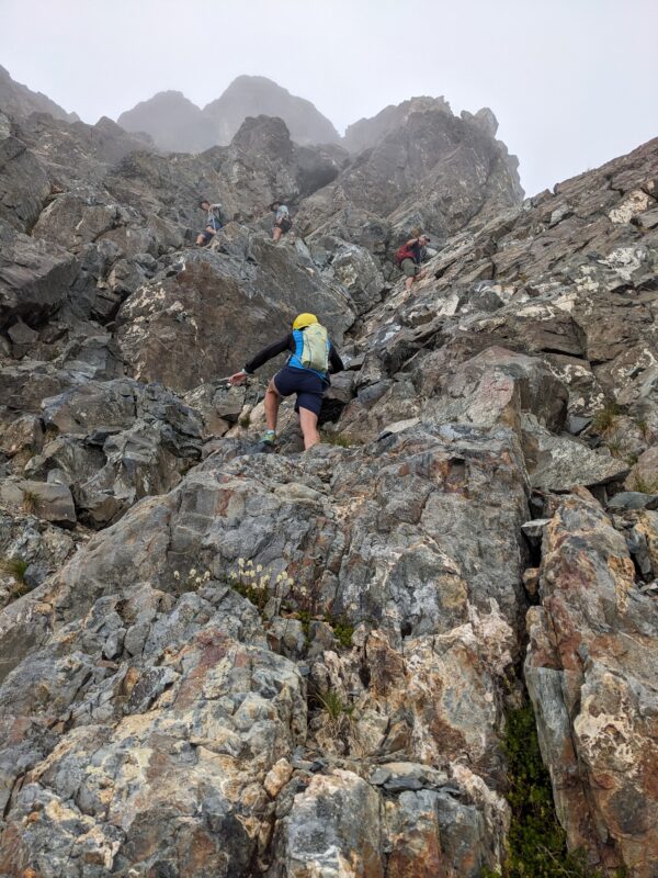
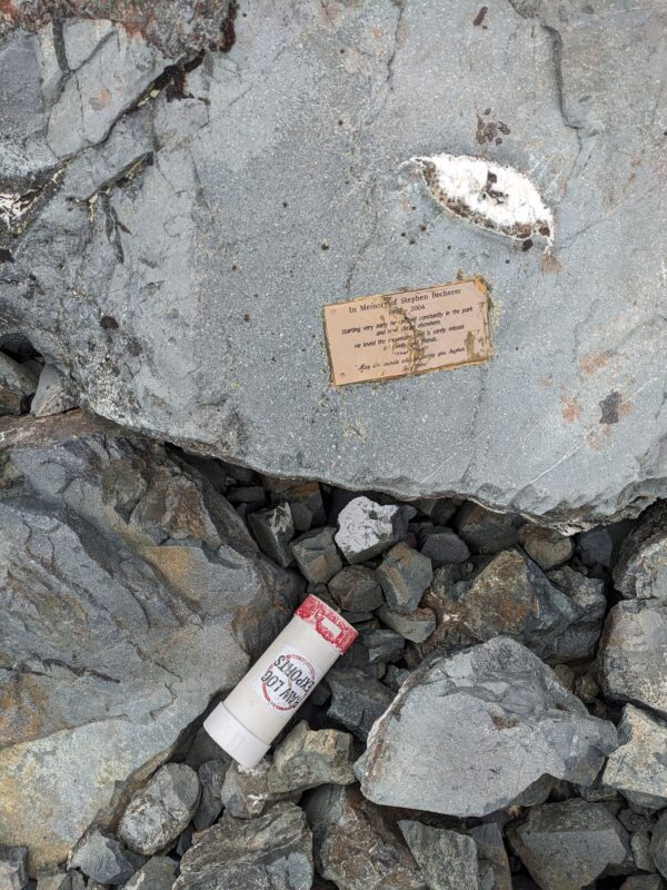
- Castlecrag (Summit)
-
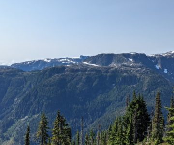
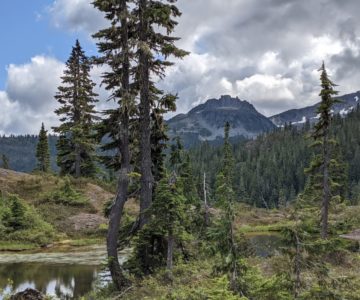
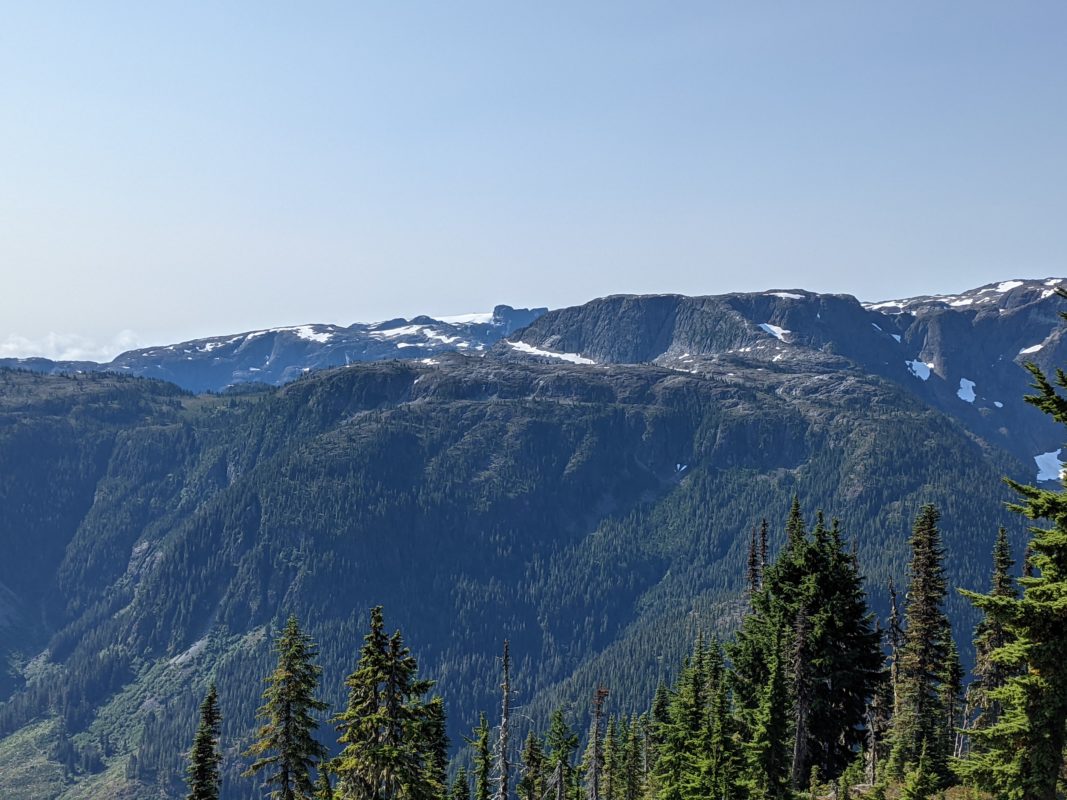
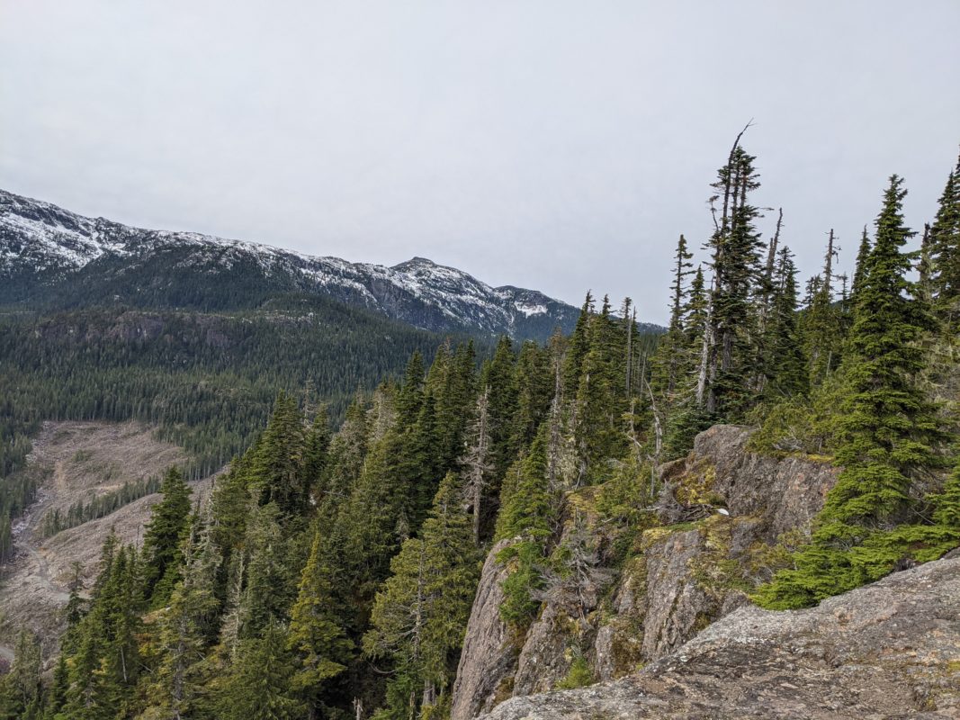
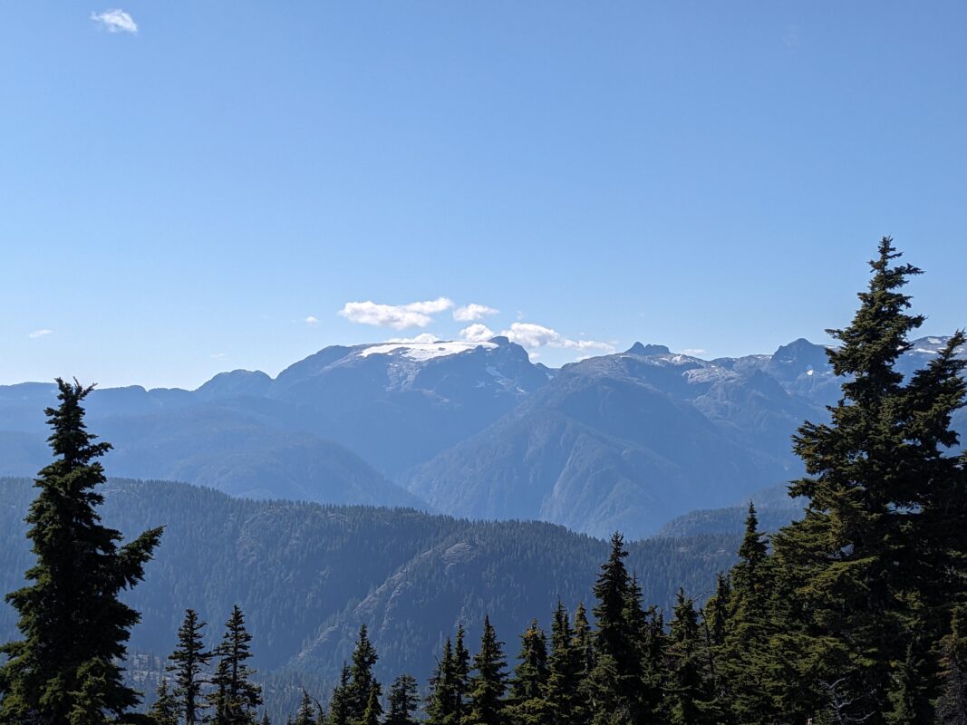
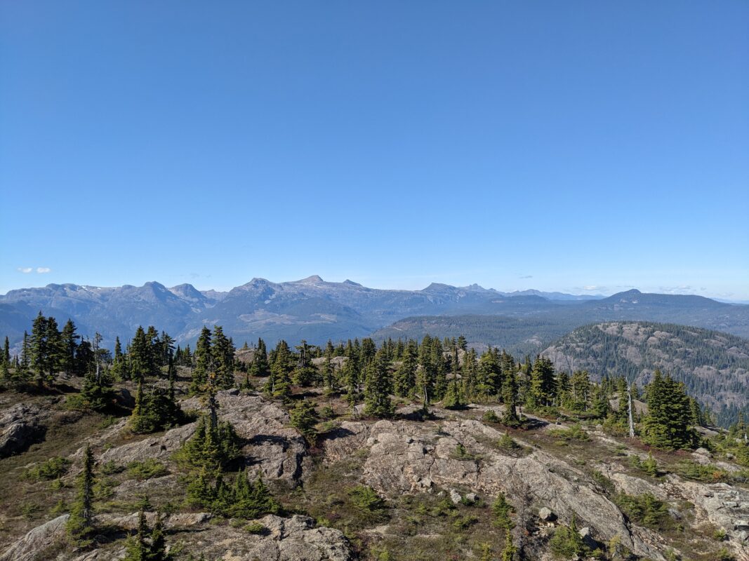
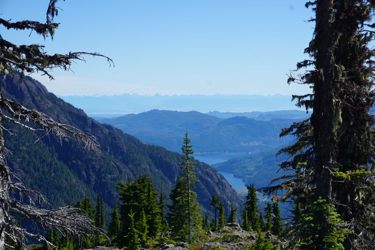
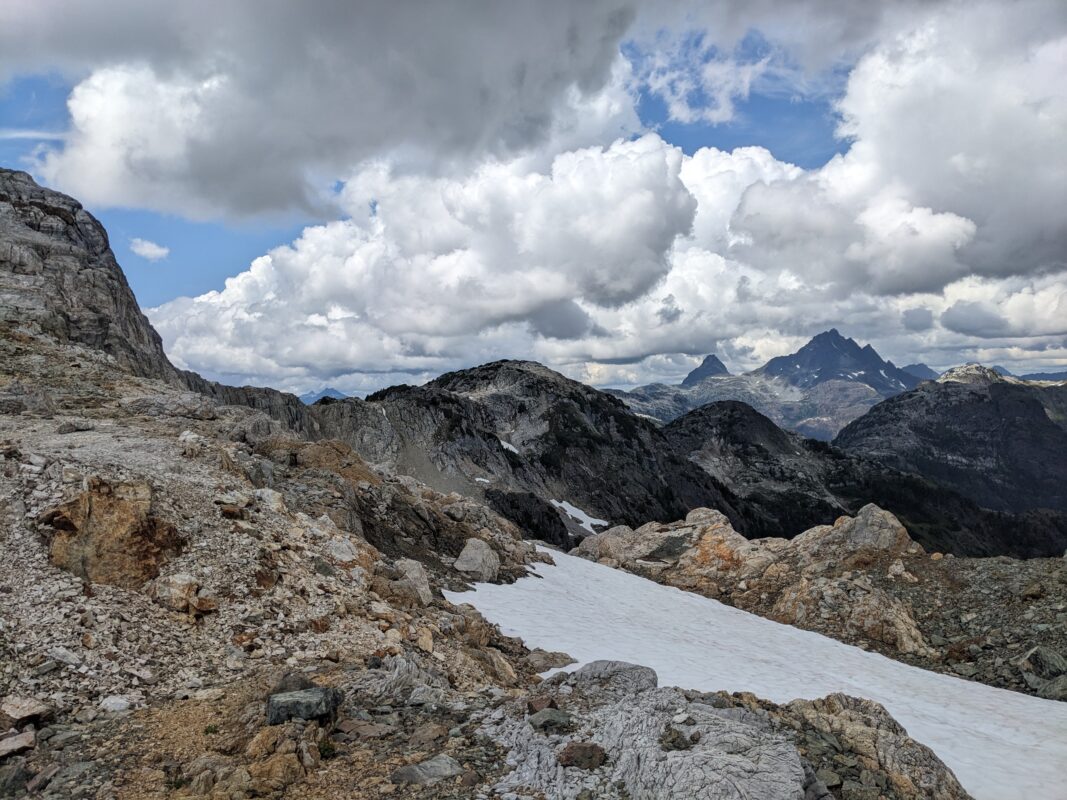
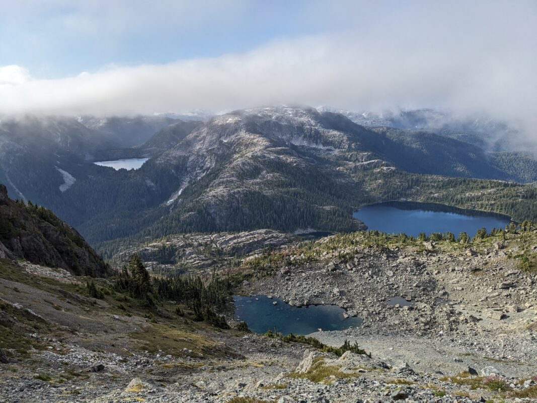
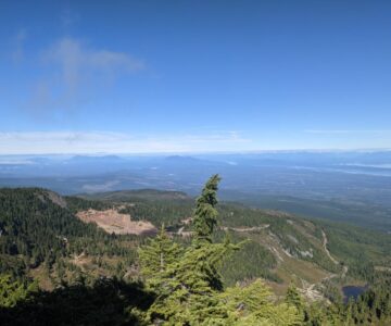
- Views to Comox Glacier
-
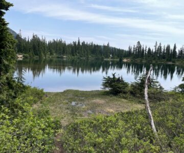
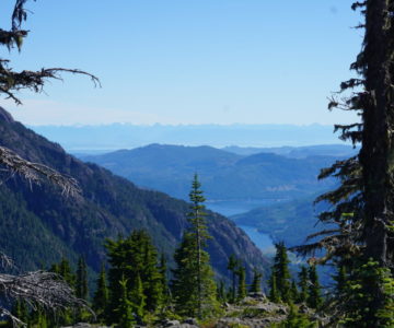
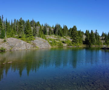
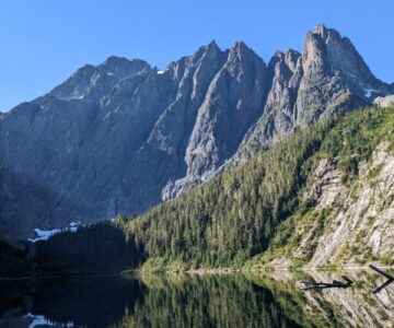
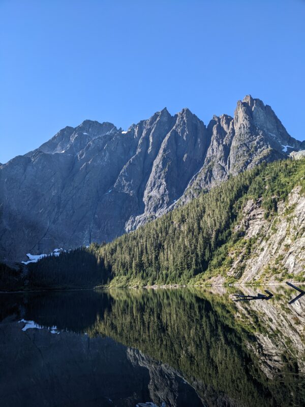
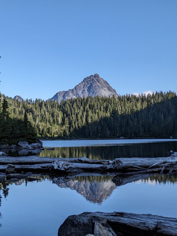
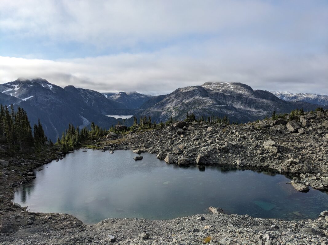
- Faith Lake
-
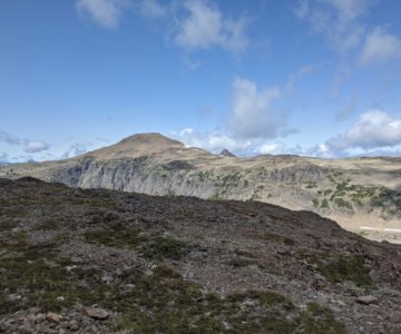
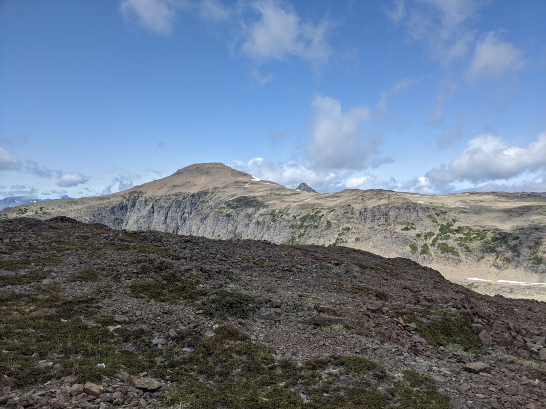
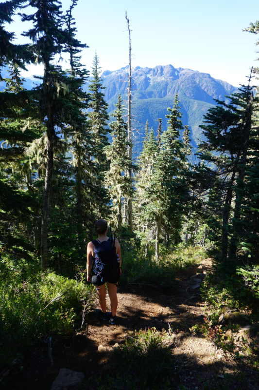
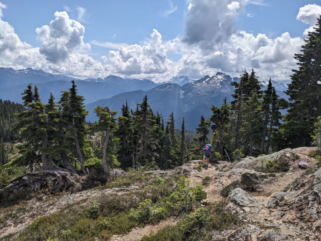
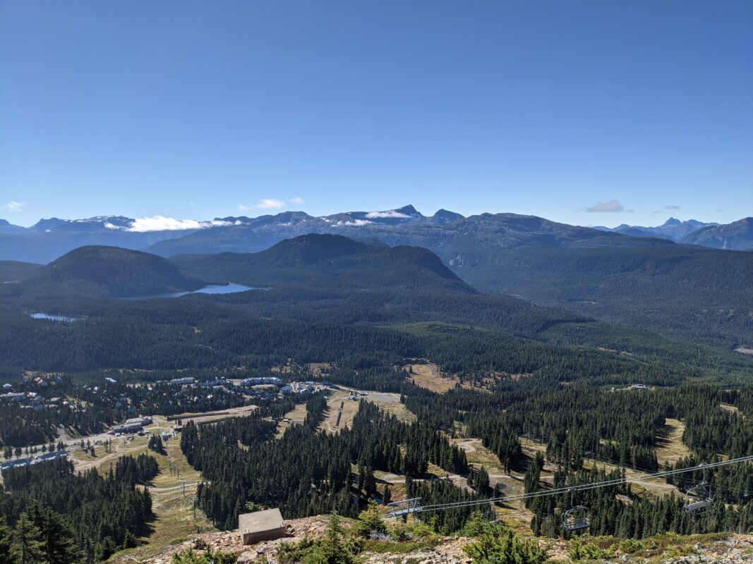
- Views from Mt. Frink
-
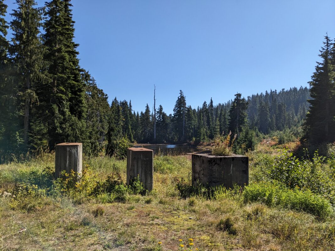
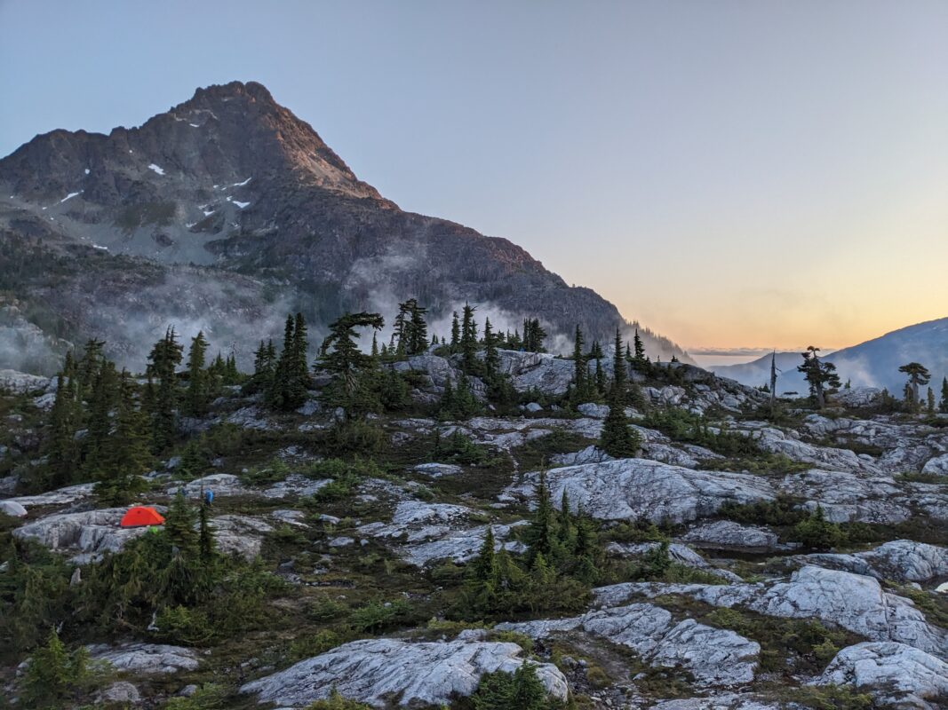
- Campgrounds
-
- Trail to Circlet Lake with Albert Edward and Castlecrag in the distance.
-
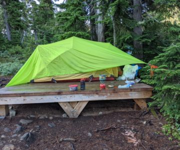
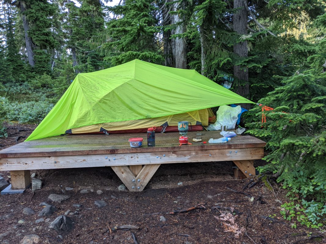
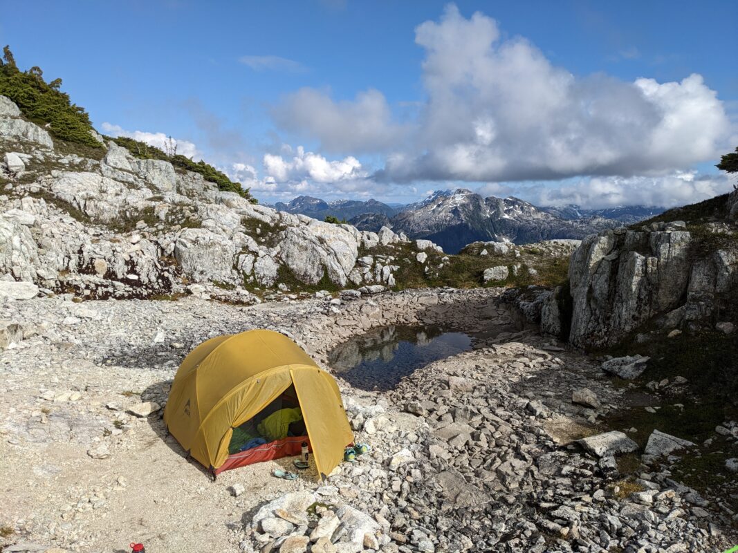
- Circlet Lake Tent Pad
-
- Campgrounds
-
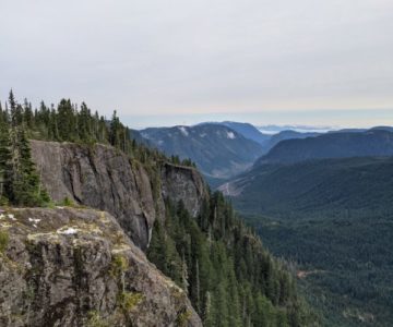
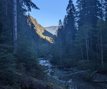
- Cruikshank Canyon – South View
-
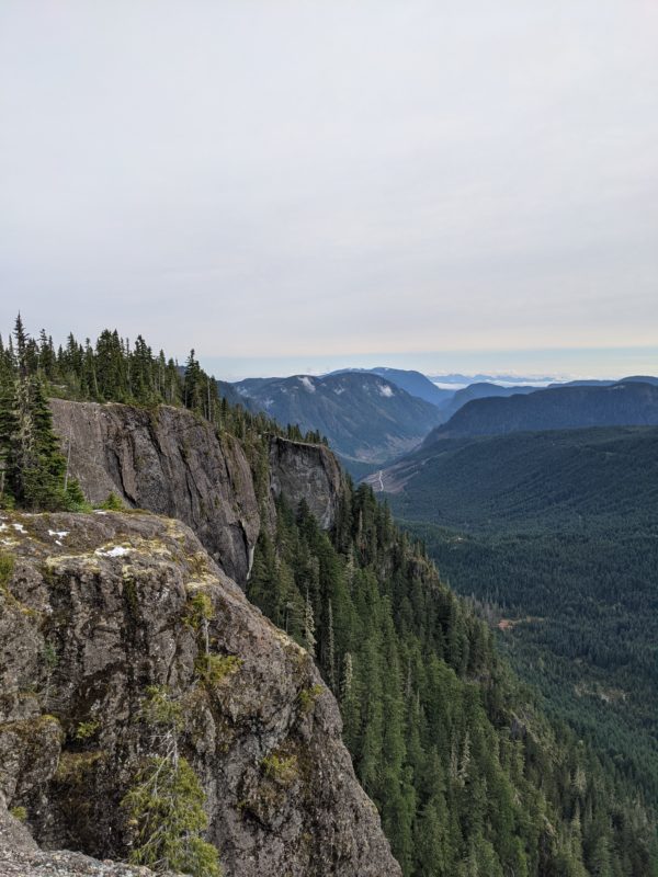
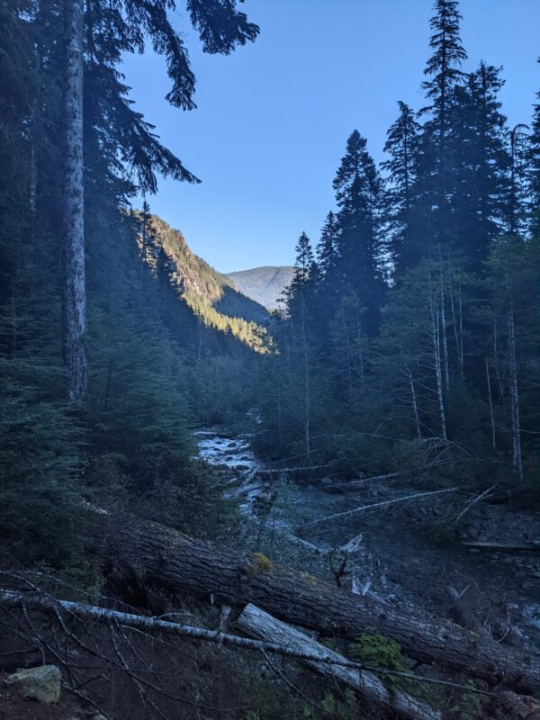
- Cruikshank Canyon – View of Jutland
-
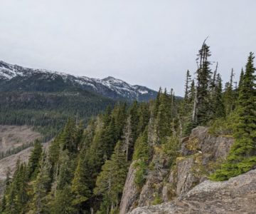
- Cruikshank Canyon – View of Castlecrag
-
- Campgrounds
-
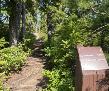
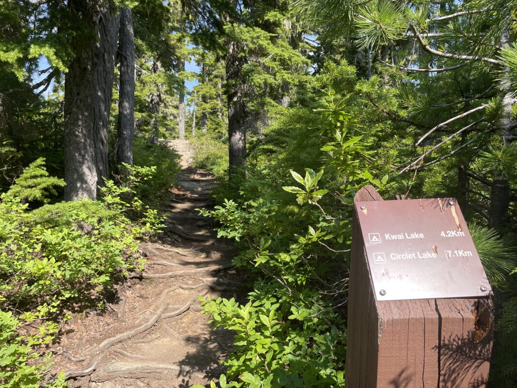
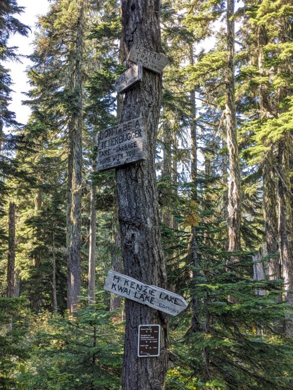
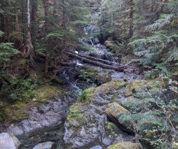
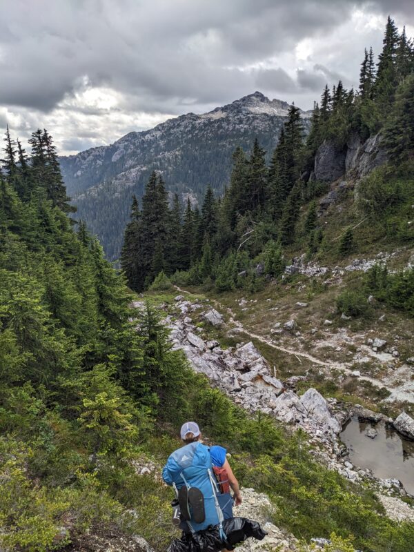
- Kwai Lake Trail Turnoff
-
- Kwai Lake Trail
-
- Kwai Lake Trail
-
- Kwai Lake Trail
-
- Kwai Lake Trail
-
- Kwai Lake Trail
-
- Kwai Lake Trail
-
- Ranger Cabin
-
- Ranger Cabin
-
- Kwai Lake Trail
-
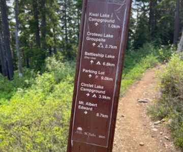
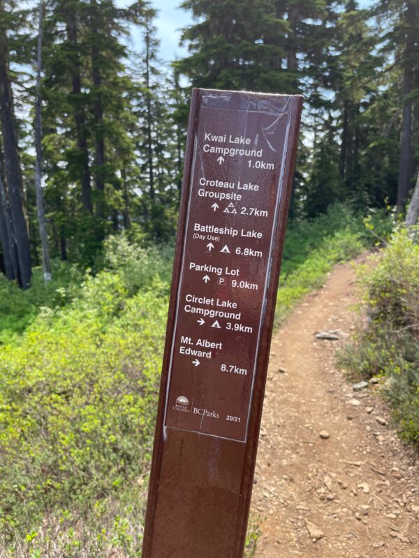
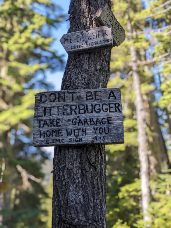
- Trail Marker
-
- Kwai Lake Trail
-
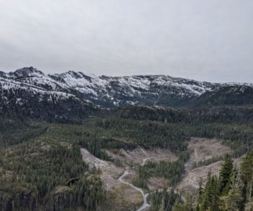
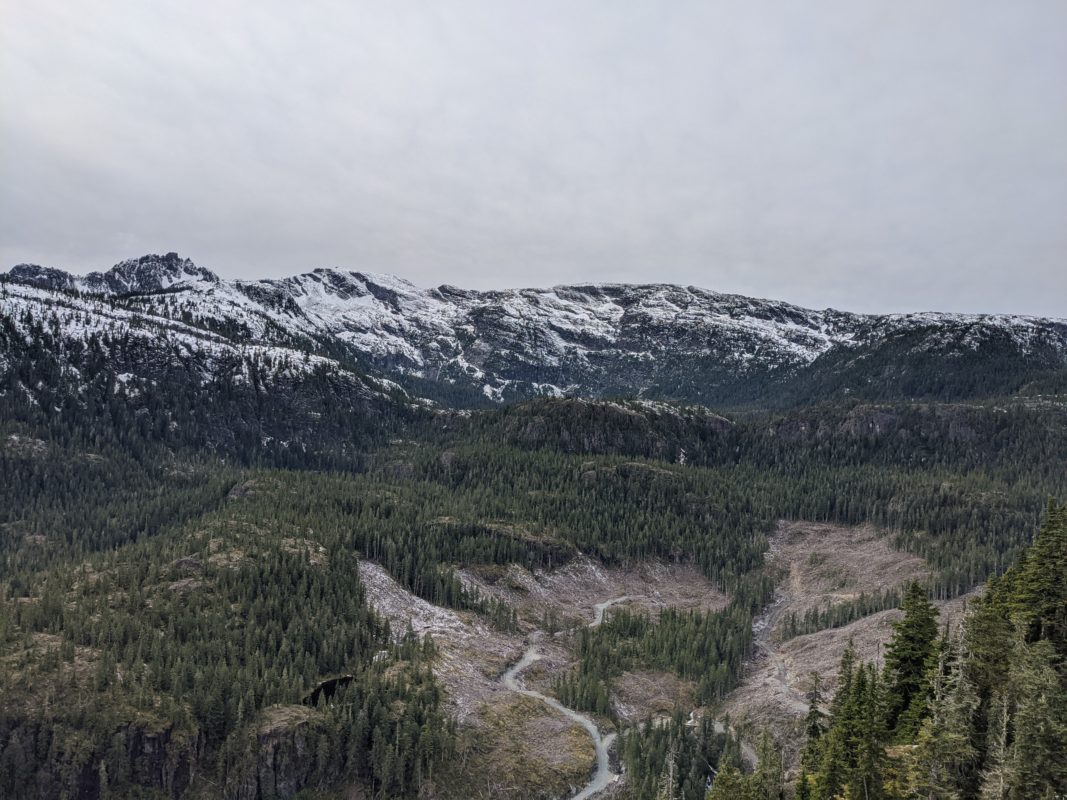
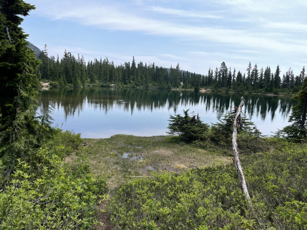
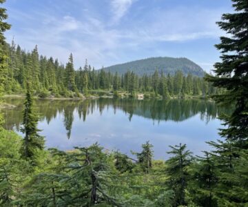
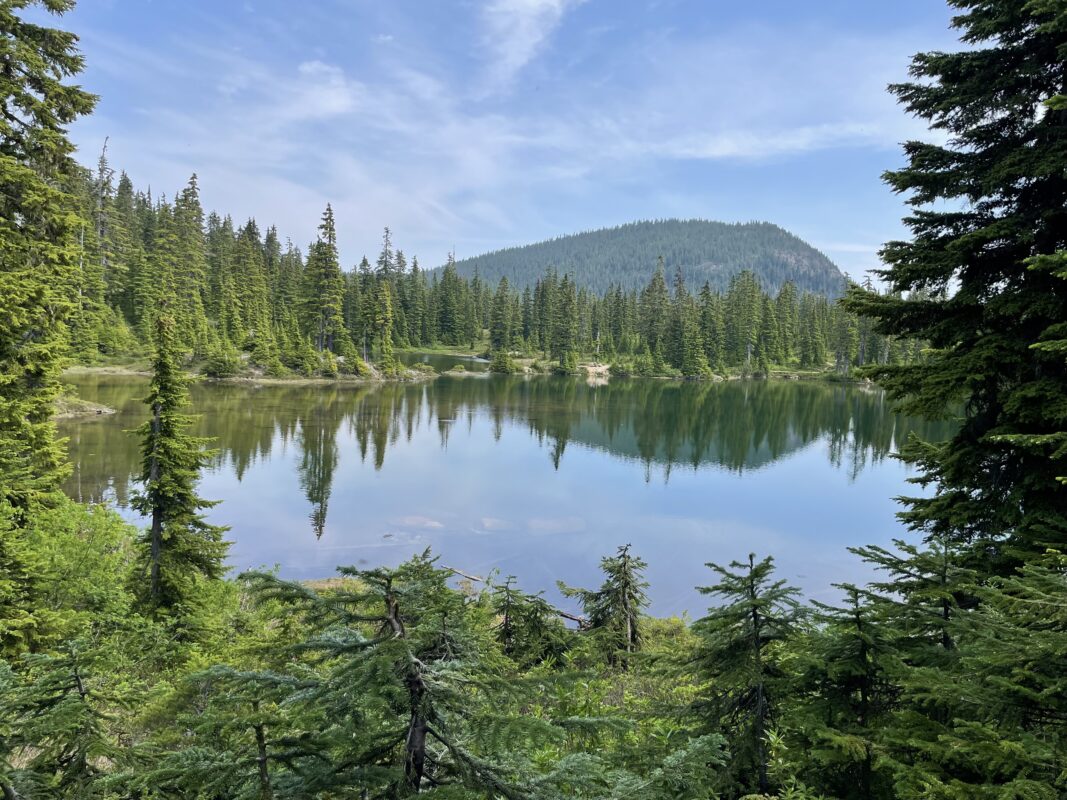
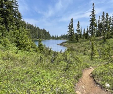
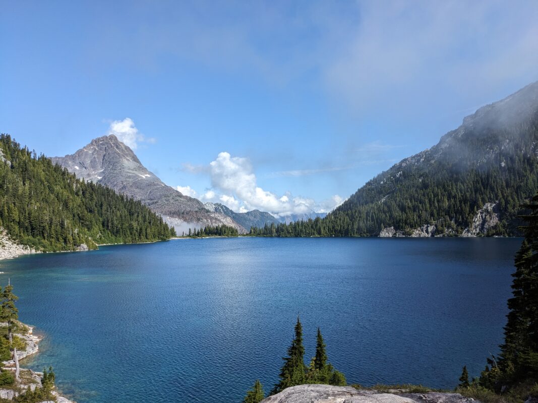
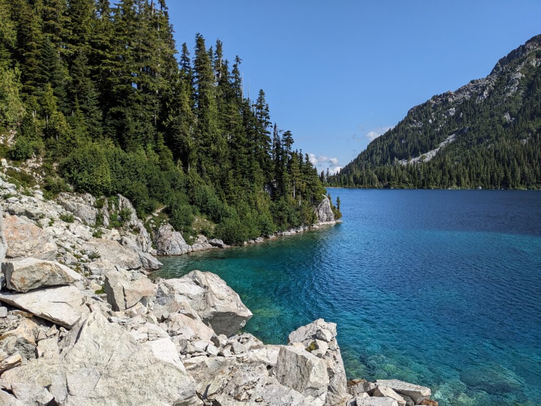
- Kwai Lake
-
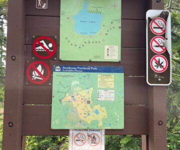
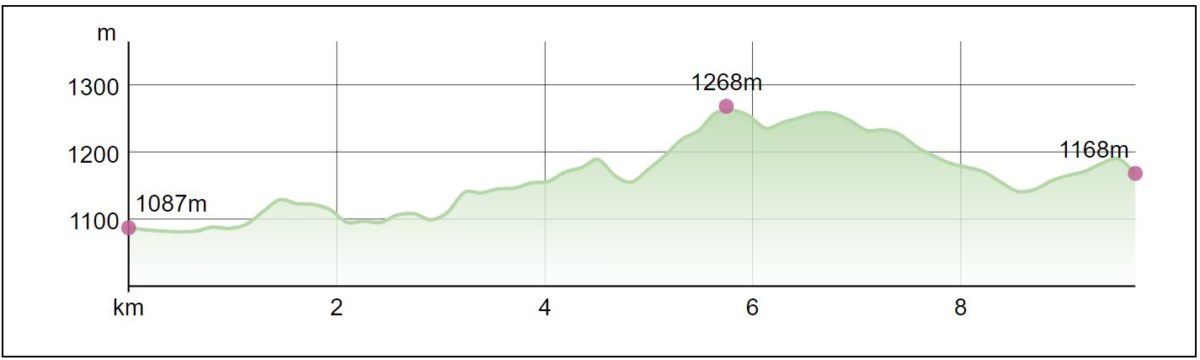
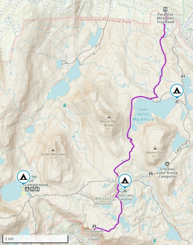
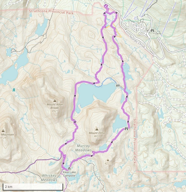
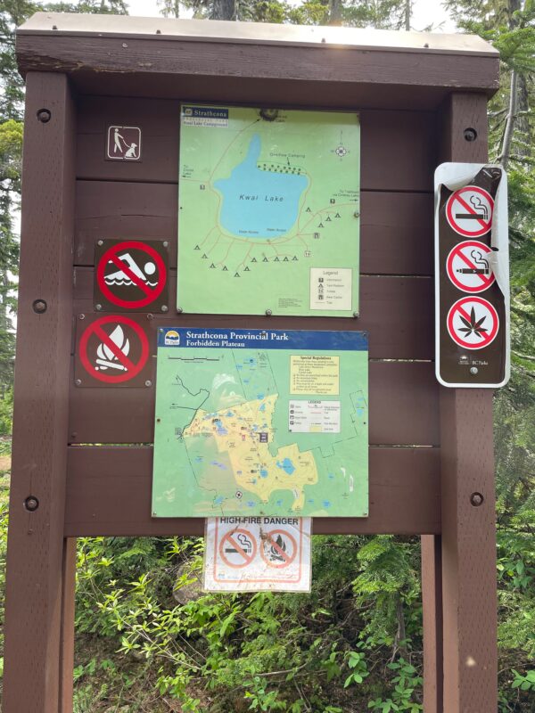
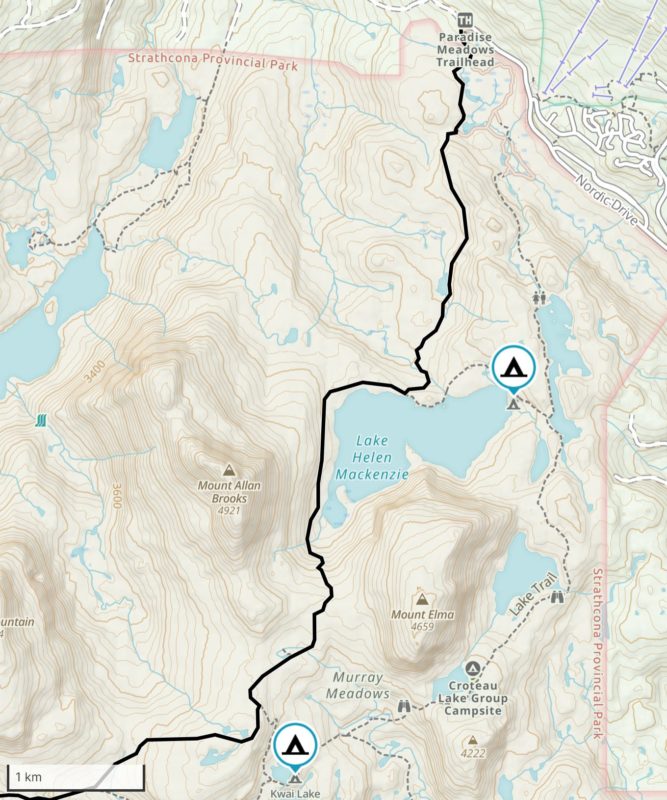
- Kwai Lake Map
-
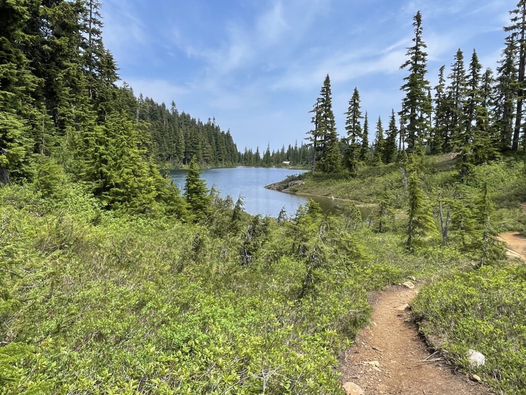
- Kwai Lake
-
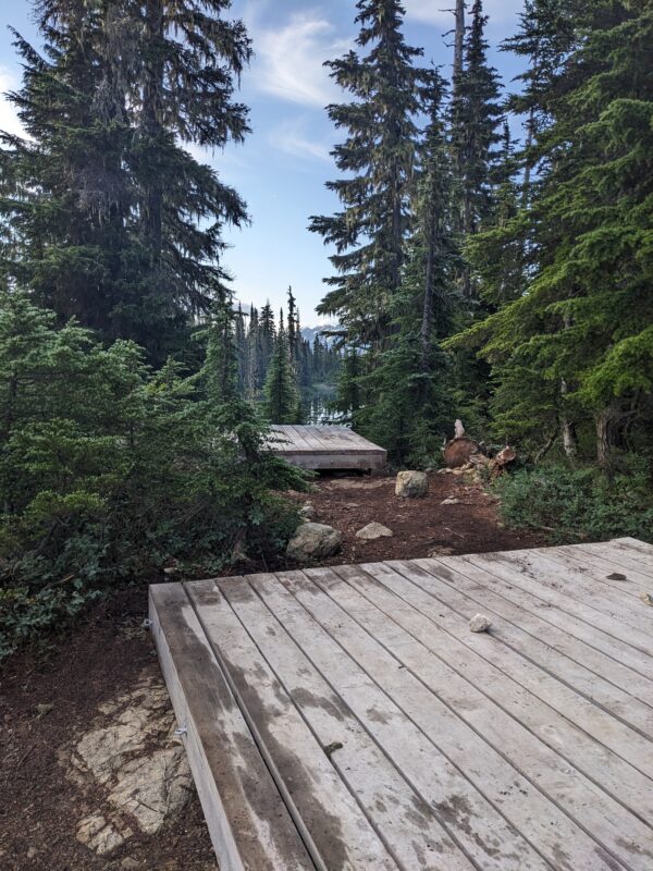
- Kwai Lake Campsite
-
- Kwai Lake
-
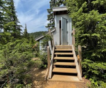
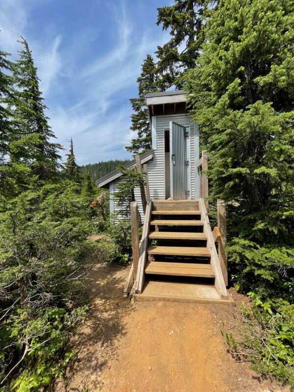
- Kwai Lake Outhouse
-
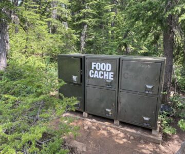
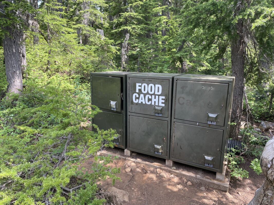
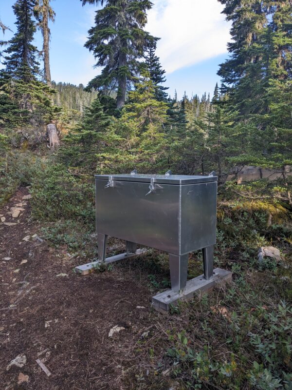
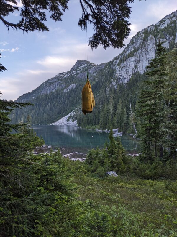
- Kwai Lake Food Cache
-
- Kwai Lake Trail
-
- Kwai Lake Trail
-
- Kwai Lake Trail
-
- Kwai Lake Trail
-
- Campgrounds
-
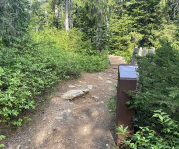
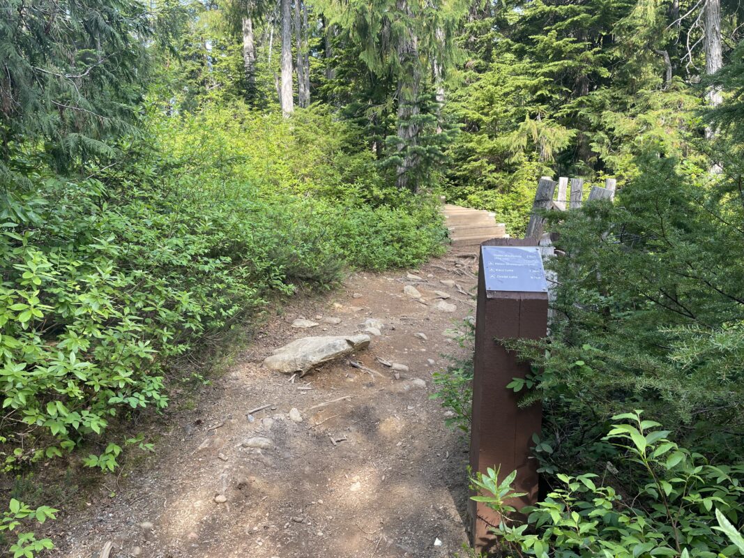
- Trail Turn Off to Lake Helen Mackenzie
-
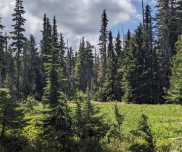
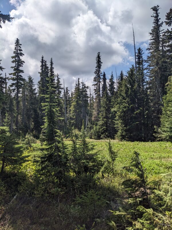
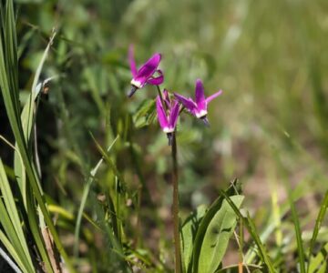
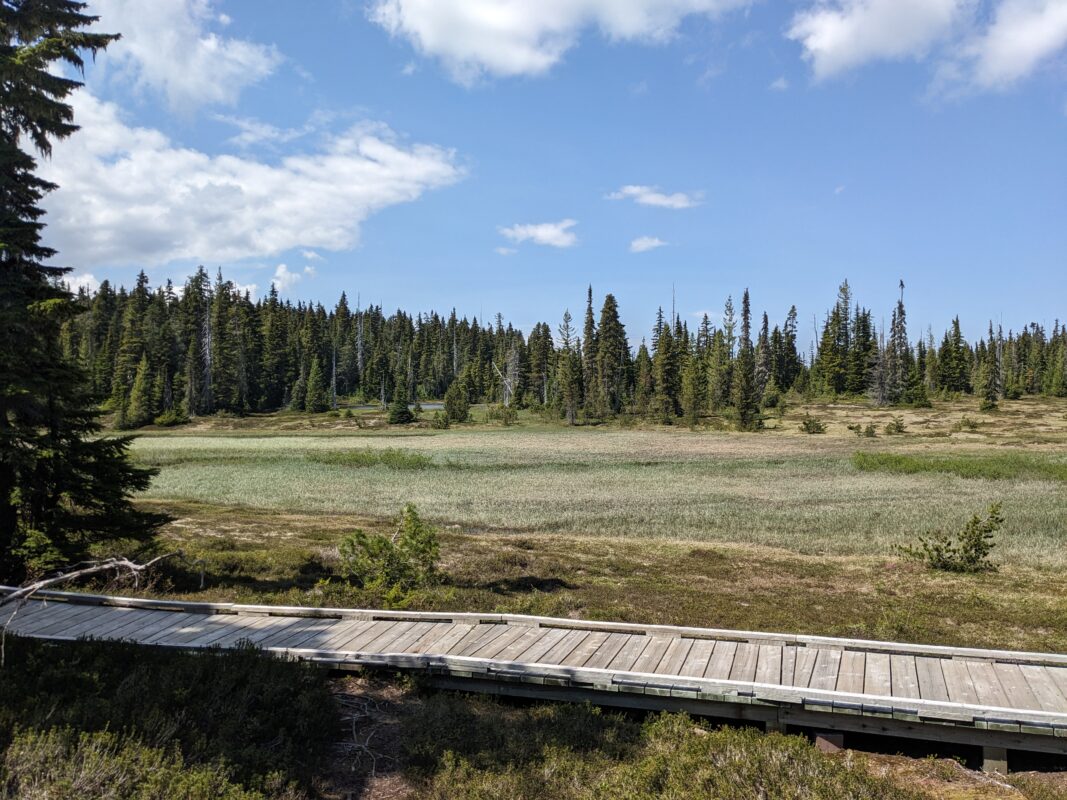
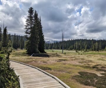
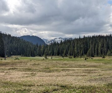
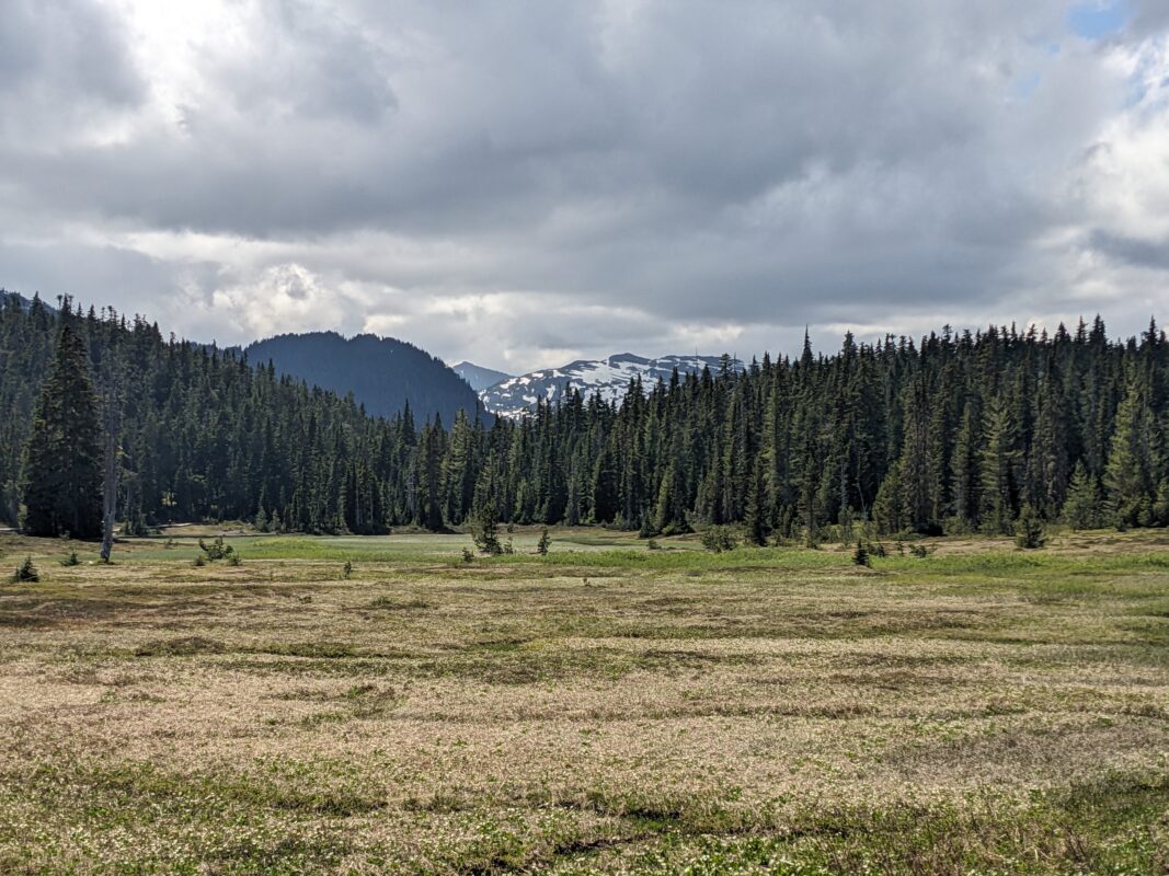
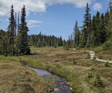
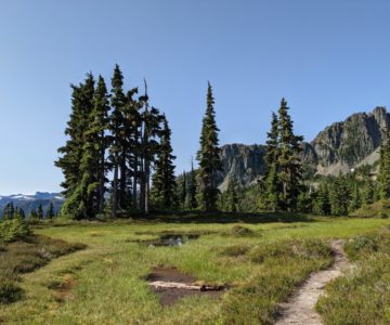
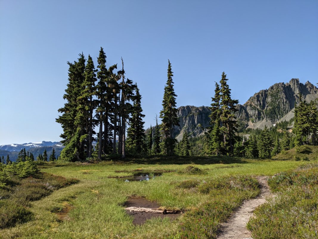
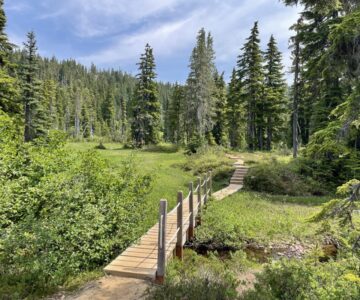
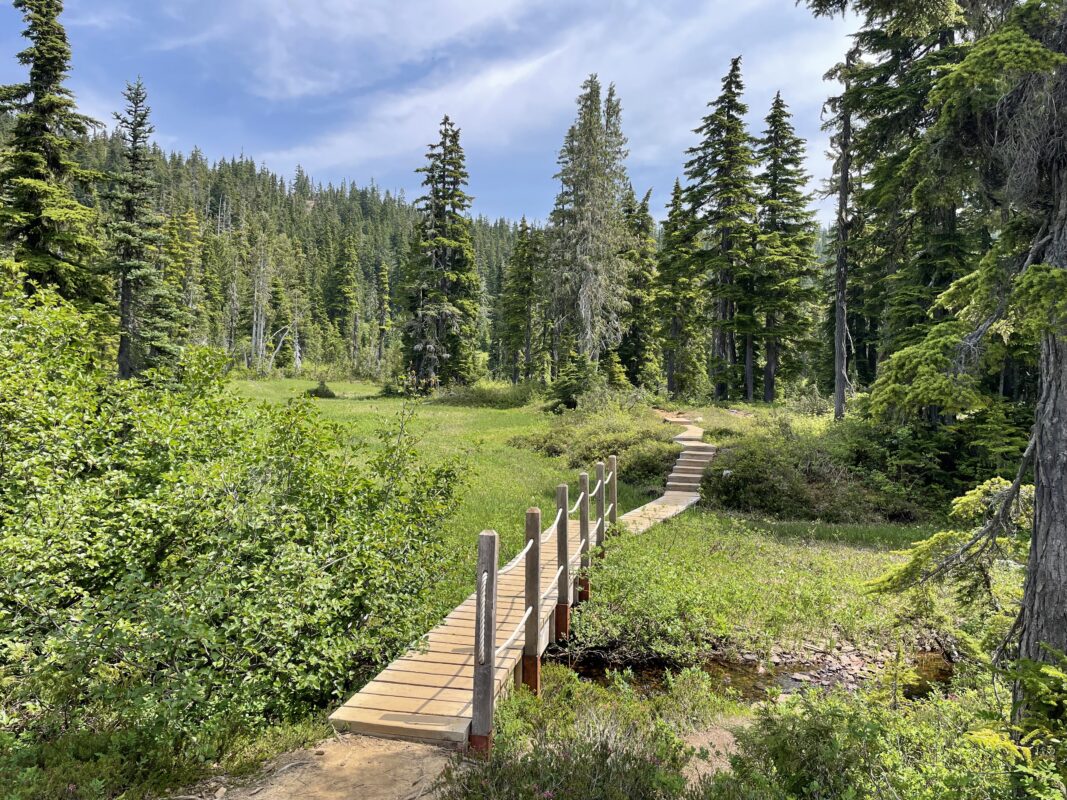
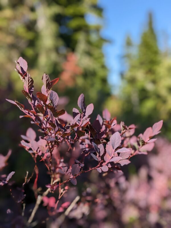
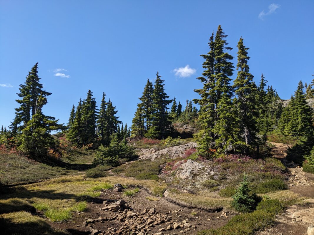
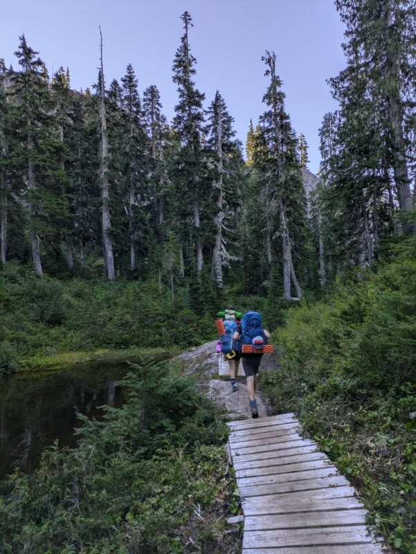
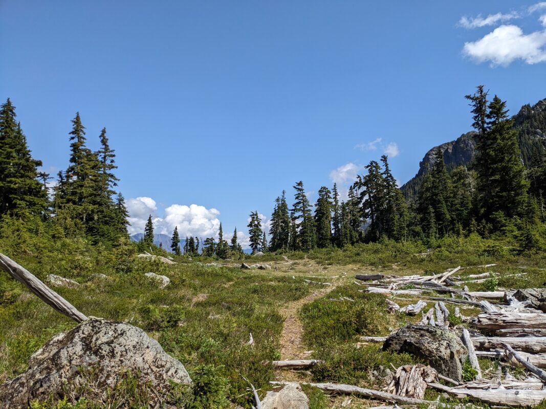
- Meadows
-
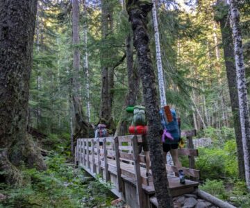
- Bridge Crossing at Piggott Creek
-
- Piggott Creek
-
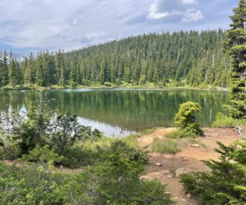
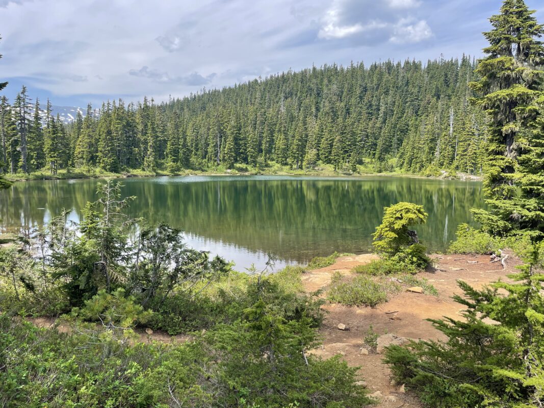
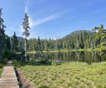
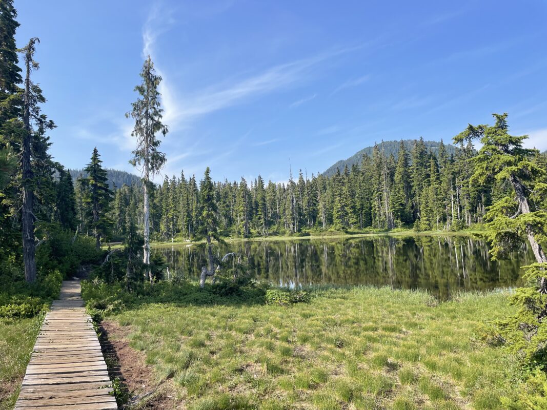
- Lake Helen Mackenzie
-
- Battleship Lake
-
- Trail to Battleship Lake
-
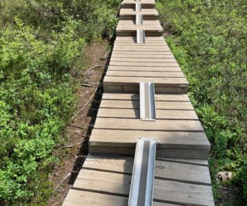
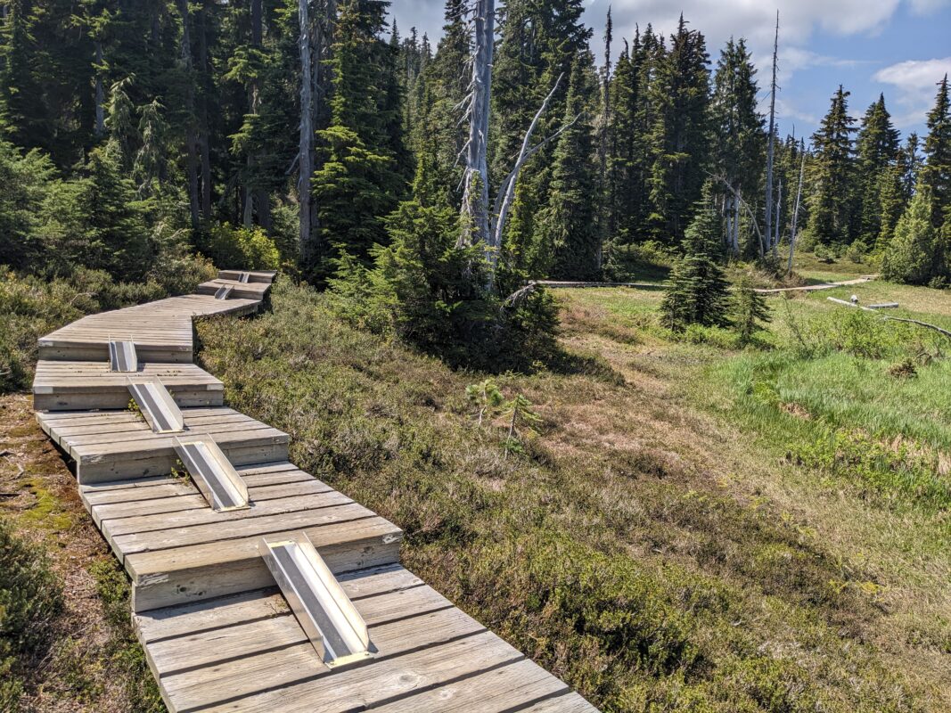
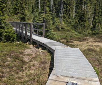
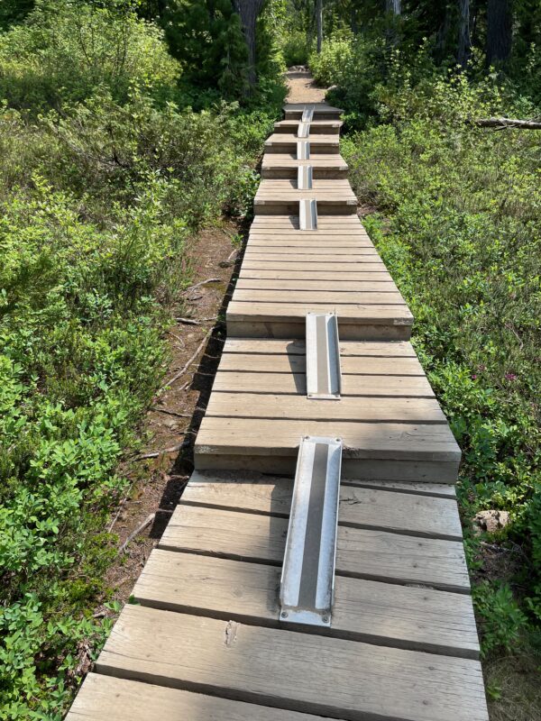
- TrailRider Ramps
-
- Trail to Battleship Lake
-
- Trail to Battleship Lake
-
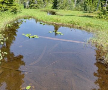
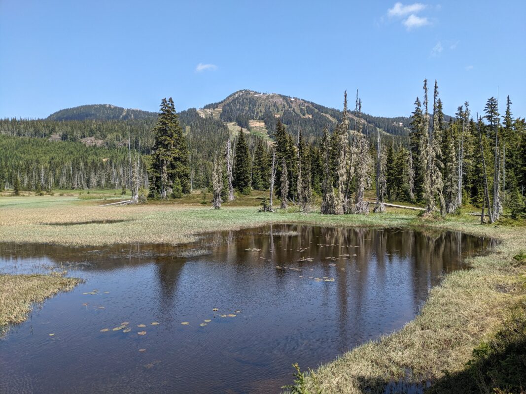
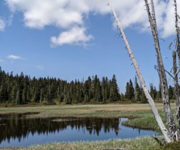
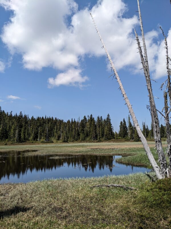
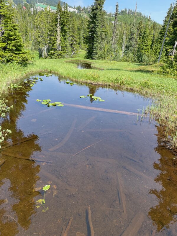
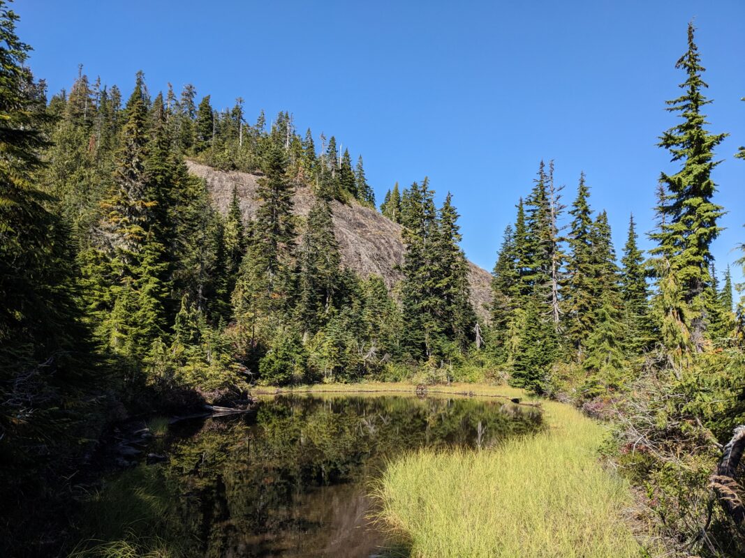
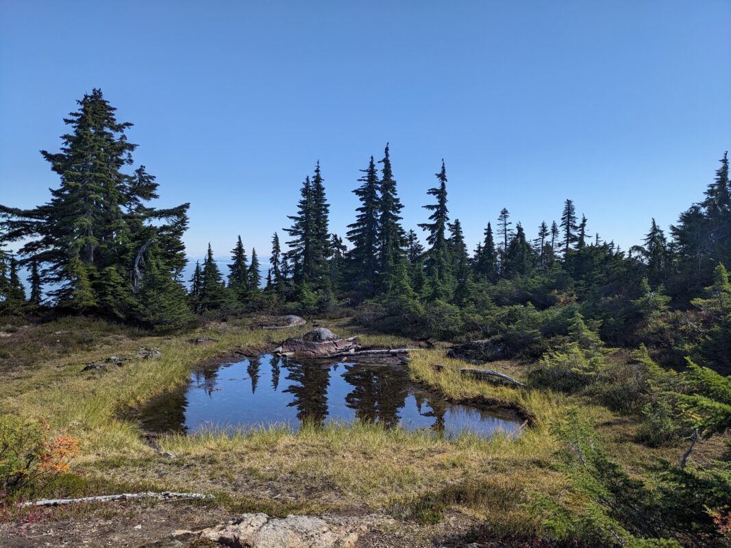
- Ponds
-
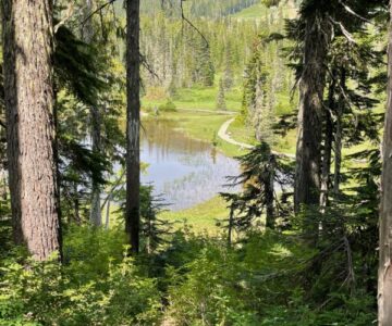
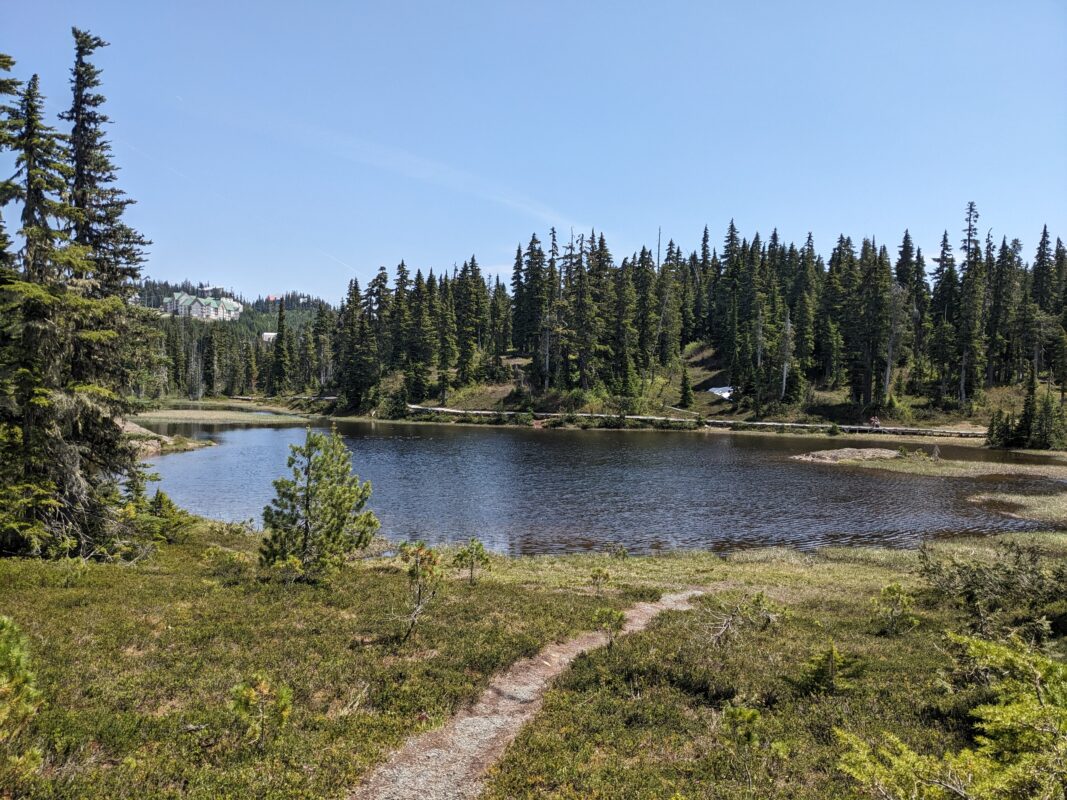
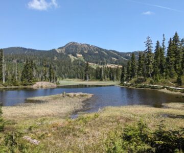
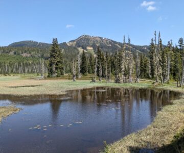
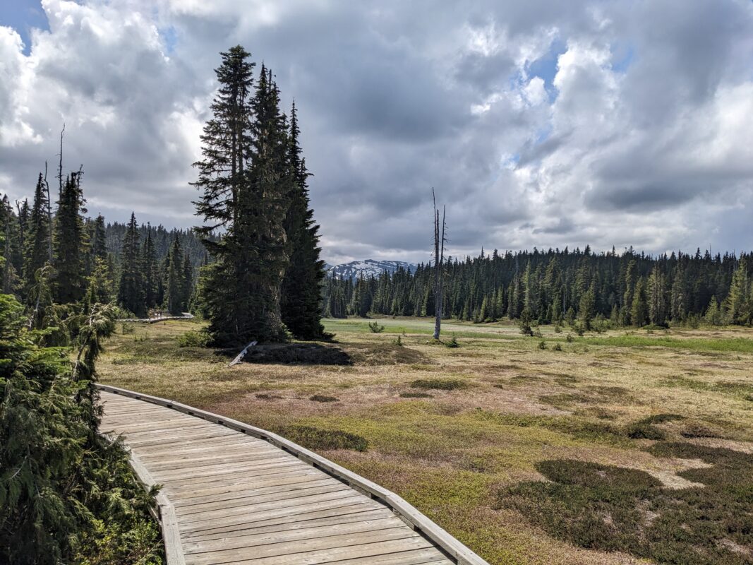
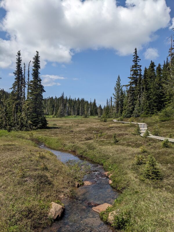
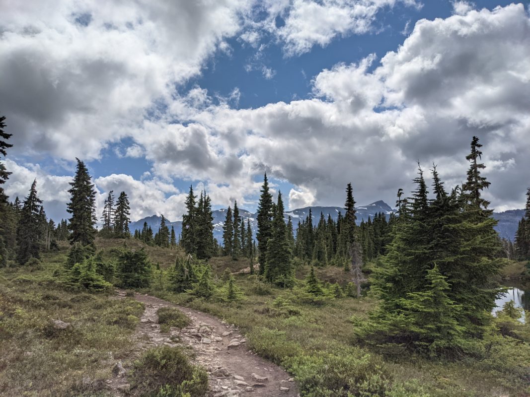
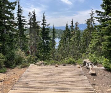
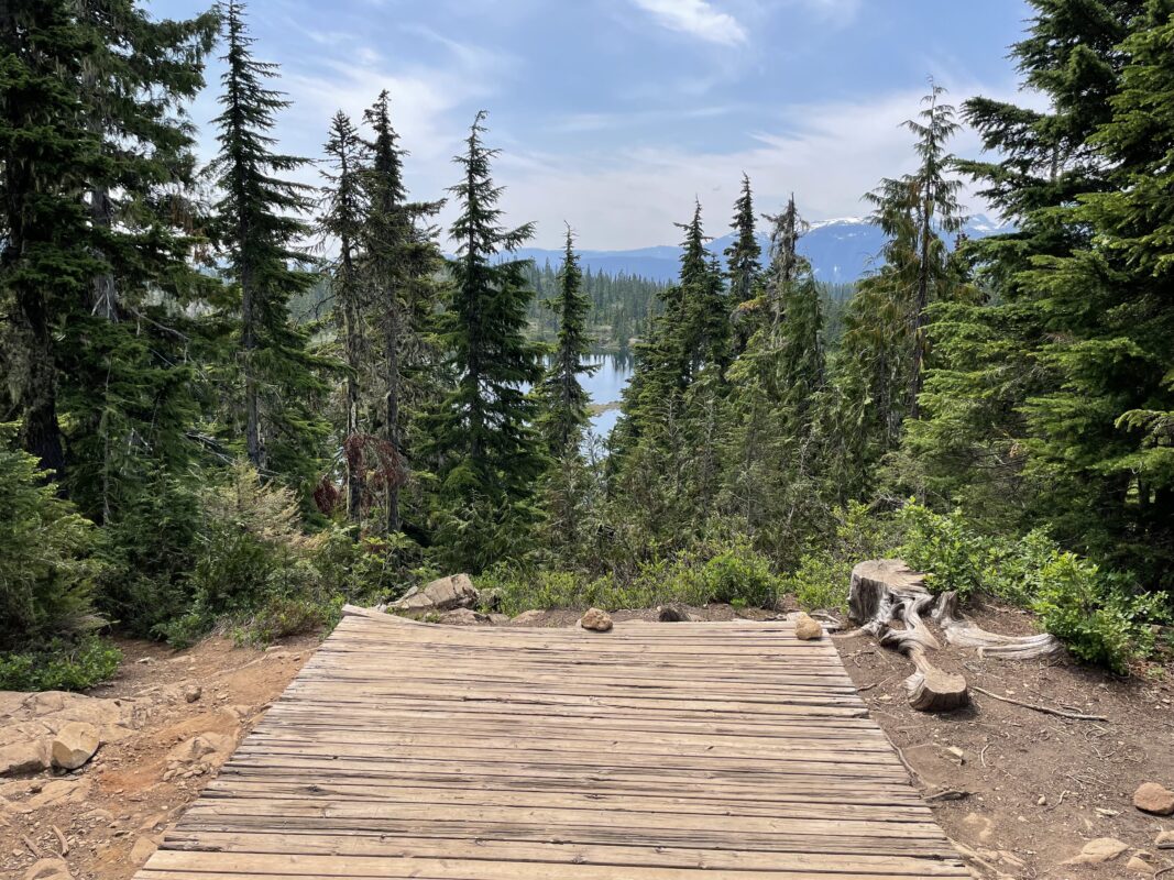
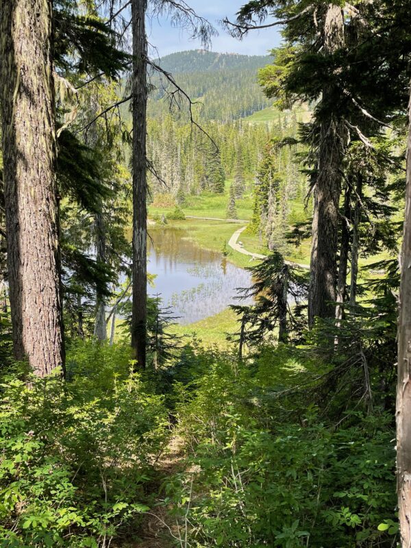
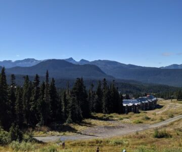
- View of Paradise Meadows
-
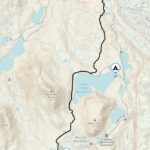
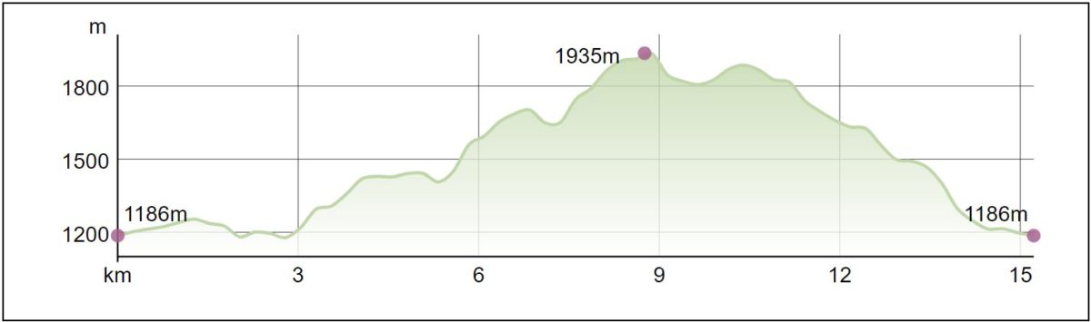
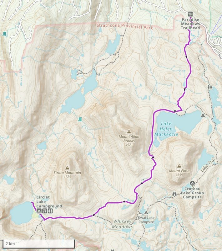
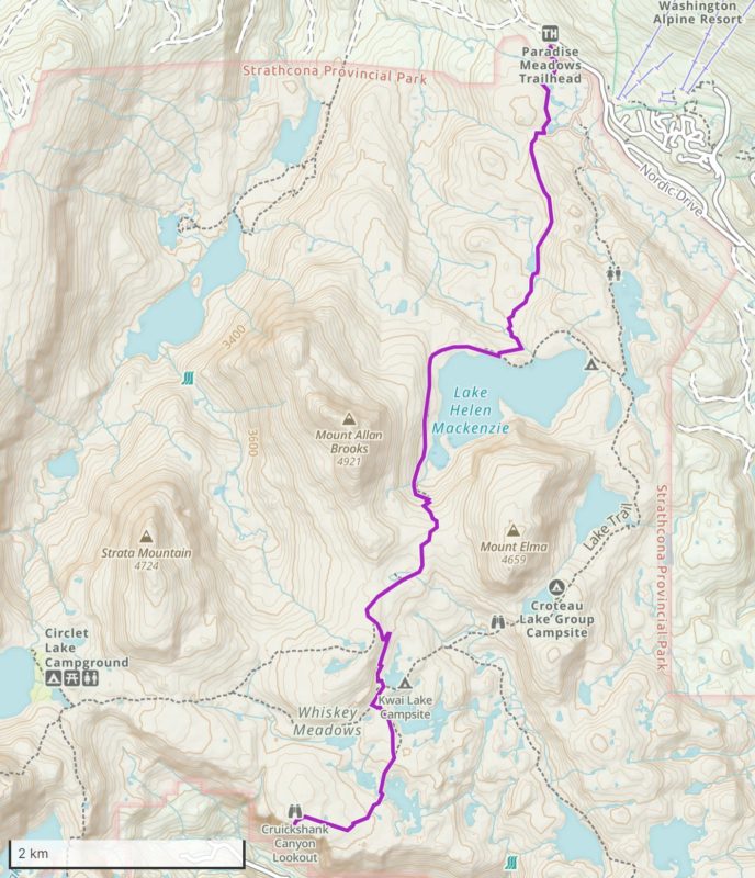
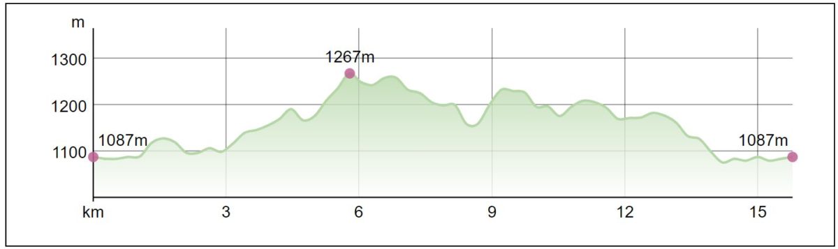
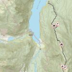
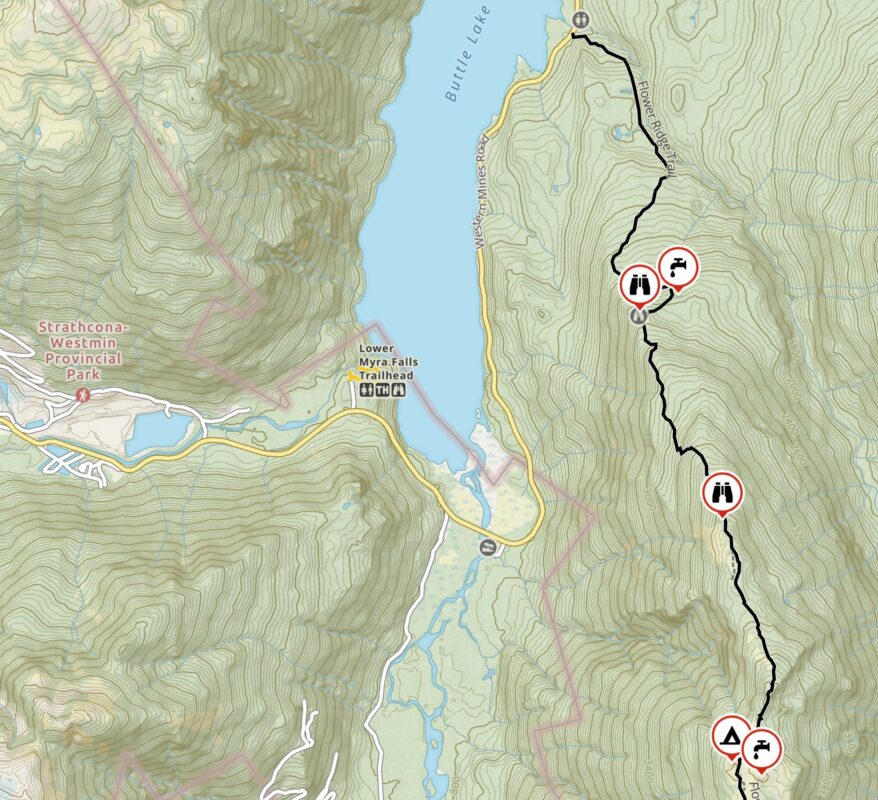
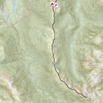
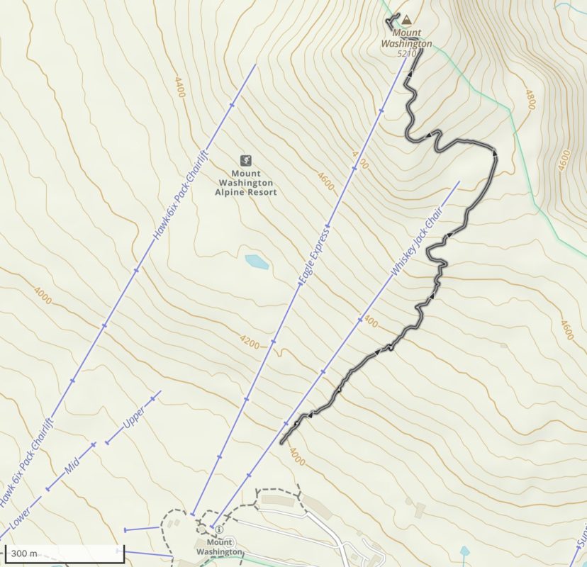
- Map 1 – Parking Lot to Kwai Lake Turnoff
-
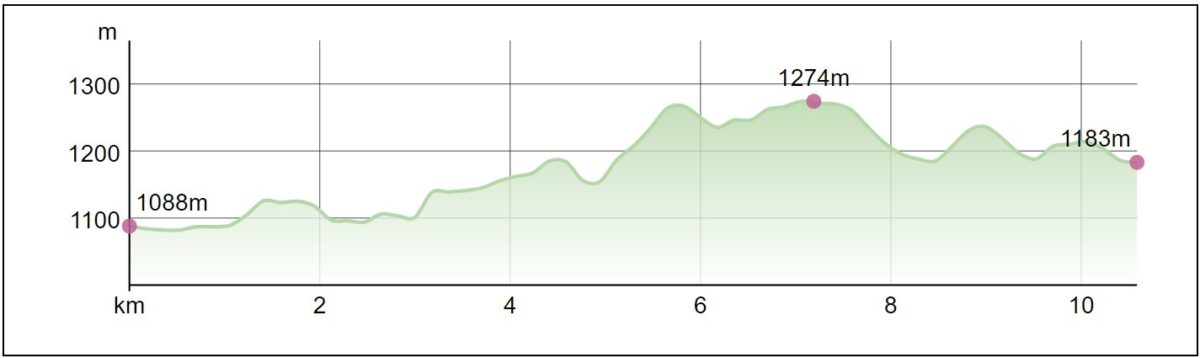
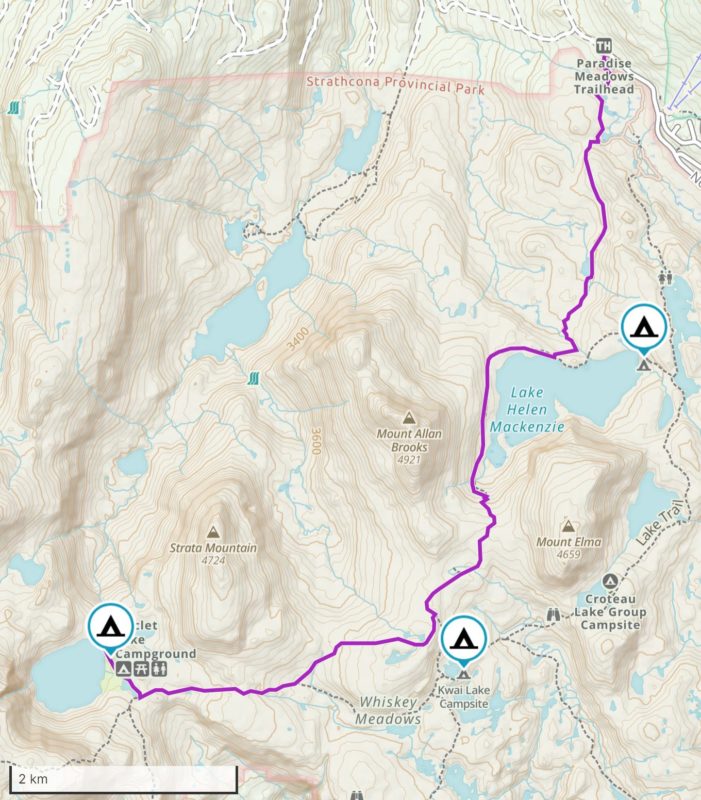
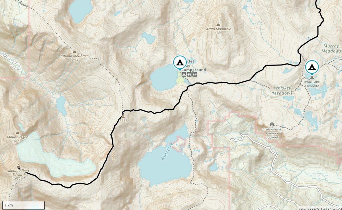
- Map 2 – Kwai Lake Turnoff – Summit
-
- Campgrounds


-

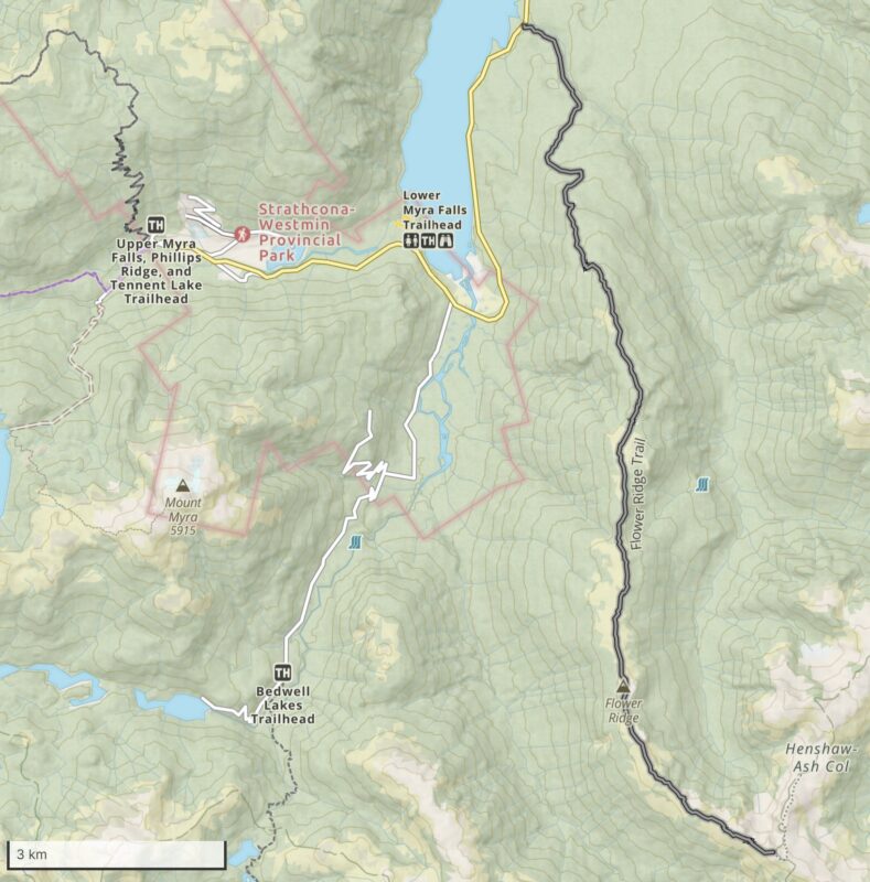
- Bedwell Lake – Trail Head and Parking

-

- BC Parks Trail Map

-

- Bedwell Lake Trail Start

-

- Bedwell Lake Trail

-

- Bedwell Lake Trail Bridge Crossing

-

- Bedwell Lake Trail

-
- Bedwell Lake Trail

-

- Bedwell Lake – Into the Subalpine

-

- Bedwell Lake Trail

-

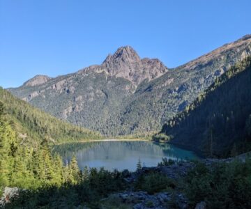
- Bedwell Lake, Mount Tom Taylor into View

-

- Bedwell Lake Trail
-

- Baby Bedwell Lake

-

- Baby Bedwell Lake

-

- Bedwell Lake – Metal Stairs

-

- Baby Bedwell Lake and Campground
-

- Bedwell Lake Comes into View

-

- Bedwell Lake

-

- Bedwell Lake with Mount Taylor Tom

-
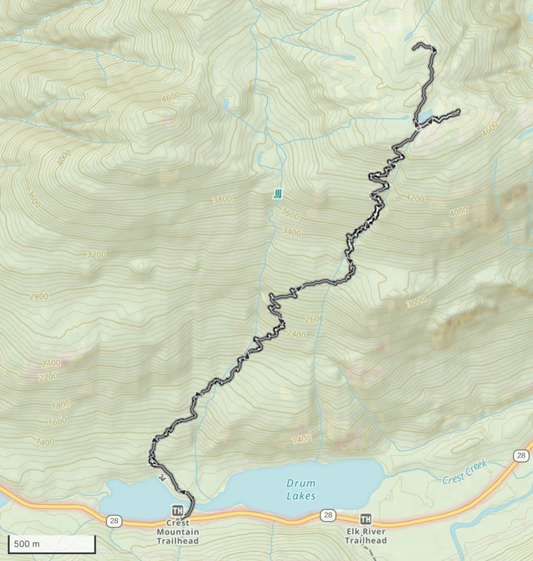
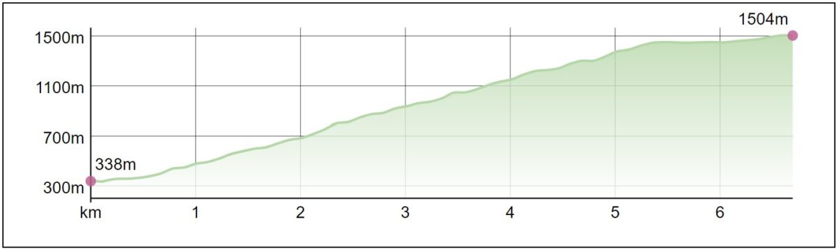
- Crest Mountain Trail
-
- Crest Mountain Trail
-
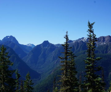
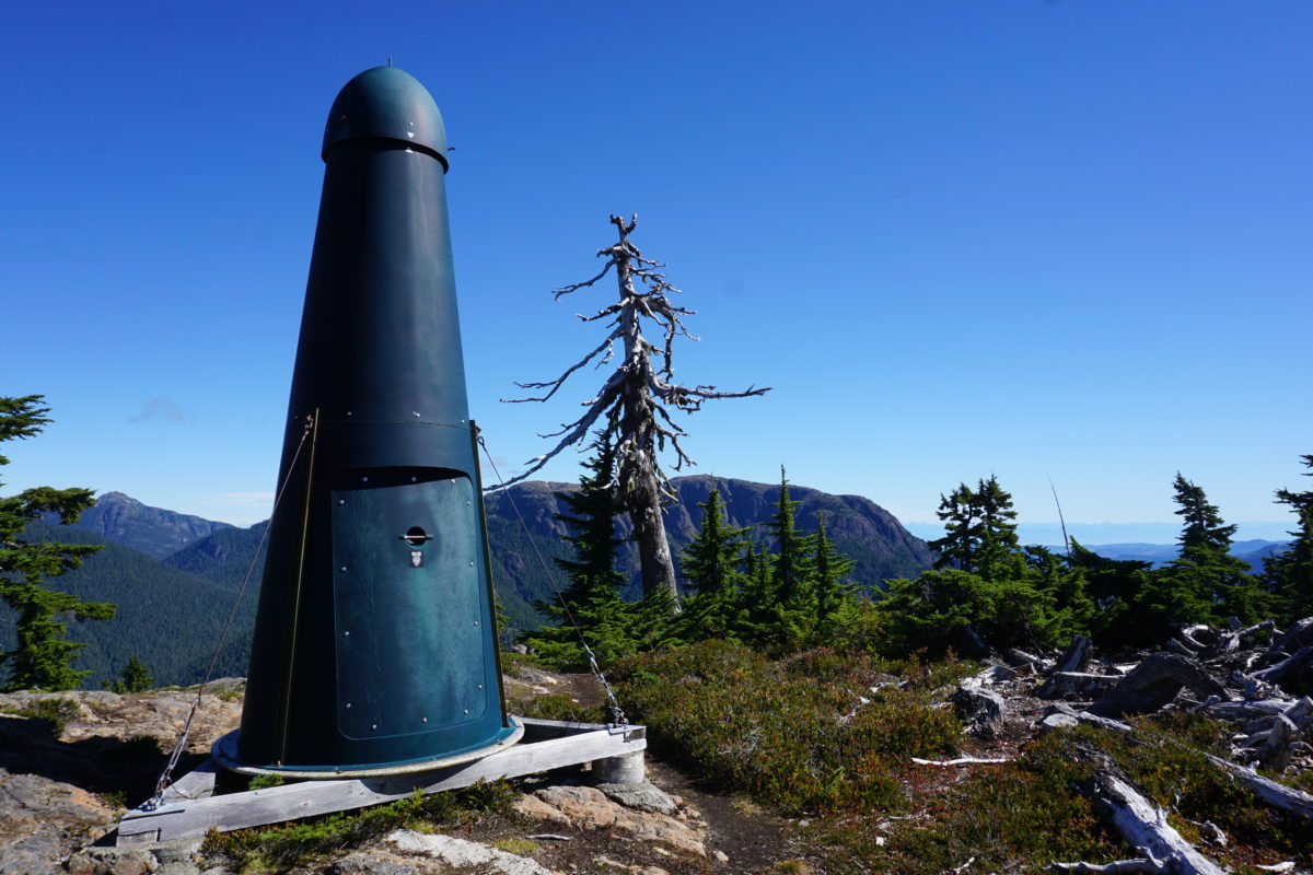
- View from Crest Mountain
-
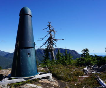
- Crest Mountain Main Lookout
-
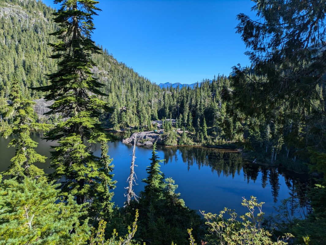
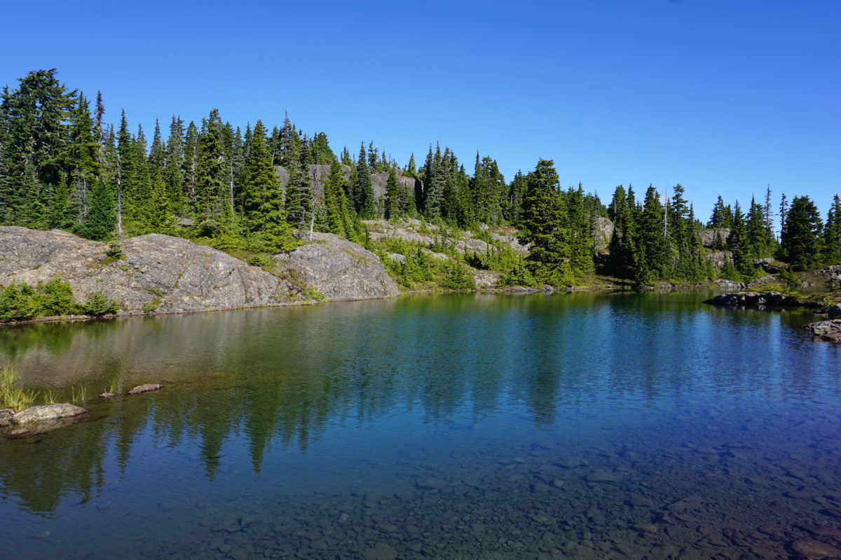
- Crest Mountain Trail – Lake at Top
-
- Crest Mountain Summit
-
- Campgrounds
-
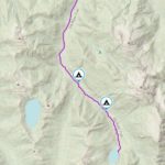
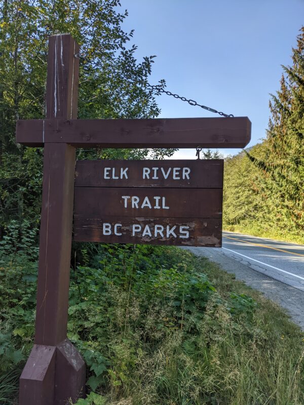
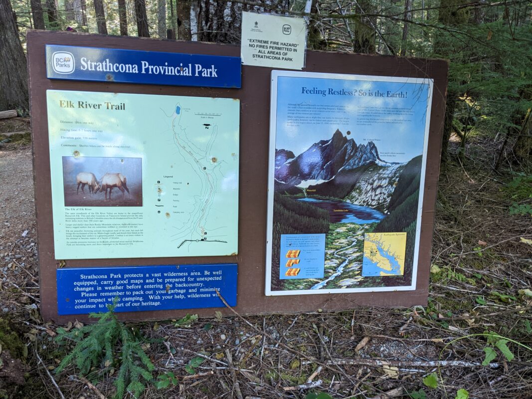
- Trailhead (1)
-
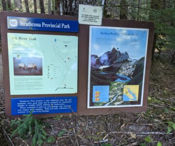
- Trailhead (2)
-
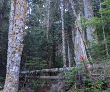
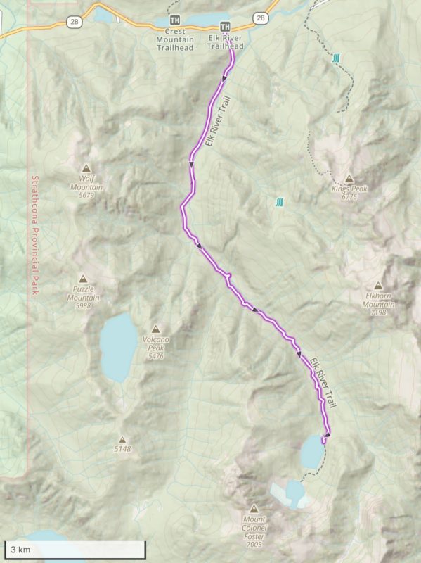
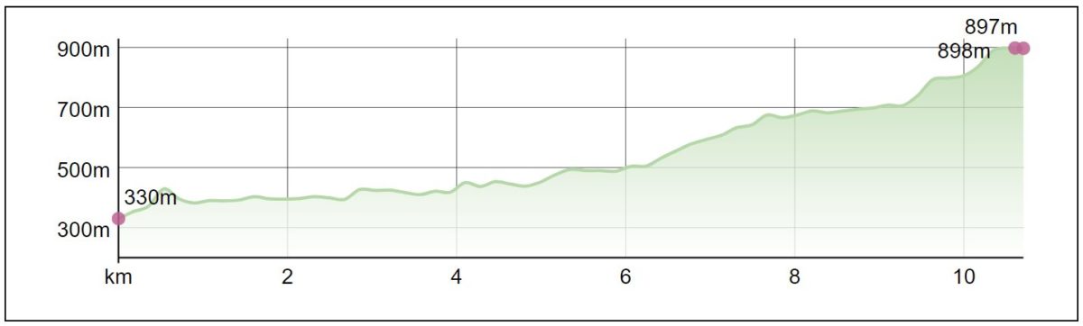
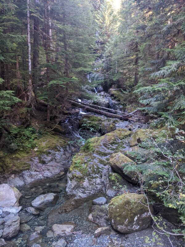
- Elk River Trail
-
- Elk River
-
- Bridge Crossing
-
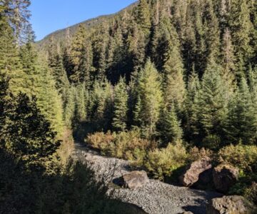
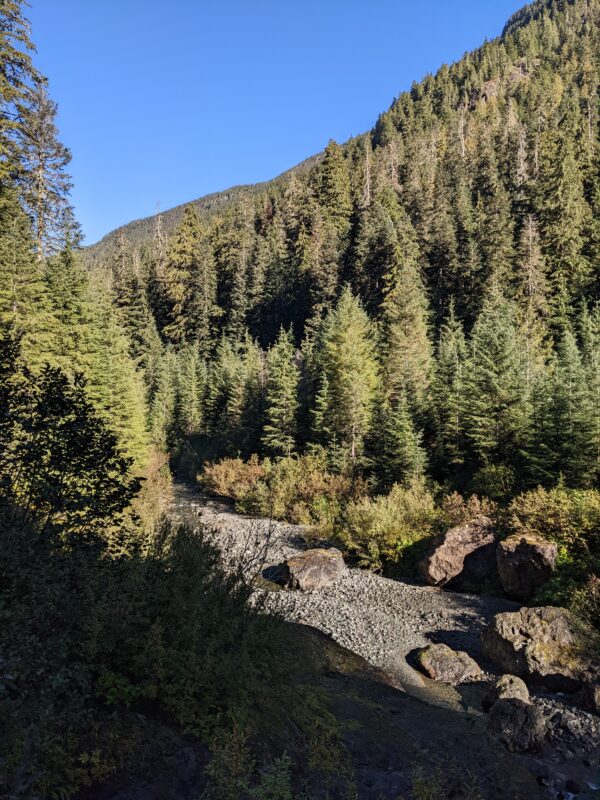
- View Down Valley
-
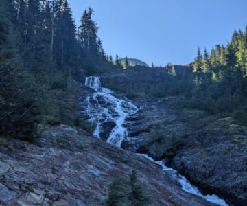
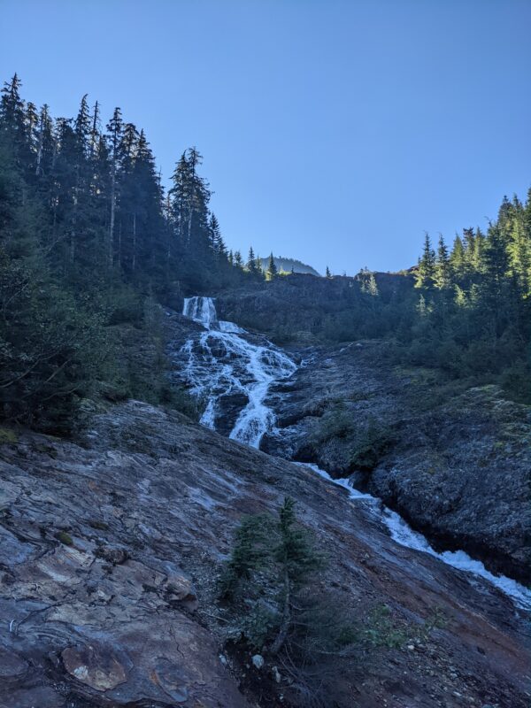
- Waterfall from Landslide Lake
-
- Landslide Lake
-
- View of Landslide Lake
-
- Iceberg Lake
-
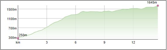
- Camping, Water & Lookouts (1)
-
- Camping, Water & Lookouts (2)
-
- Starting Point
-
- Trail Up
-
- Trail – Forest
-
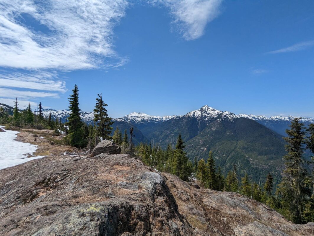
- Ridgeline
-
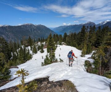
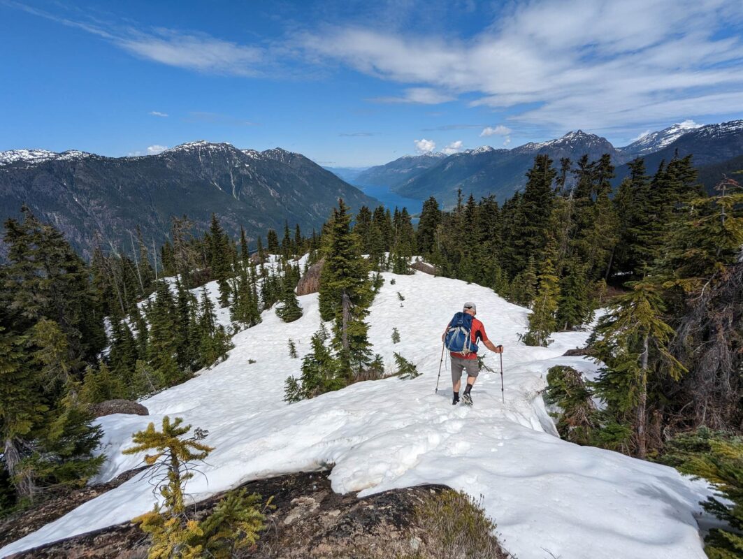
- Descending with Snow
-
- Camping – Main
-
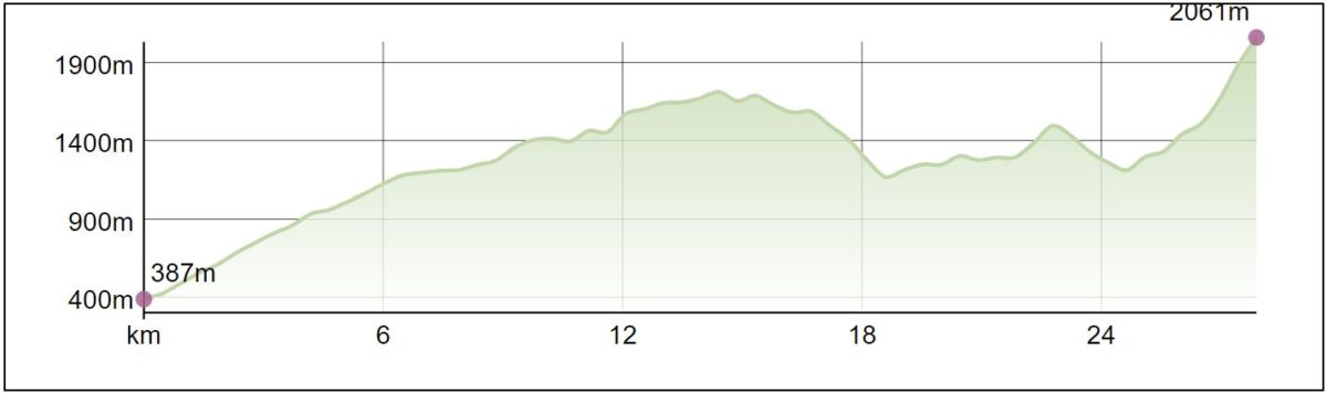
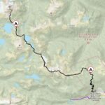
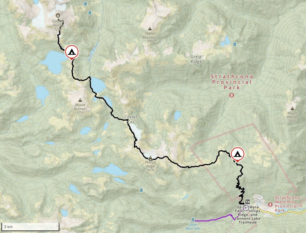
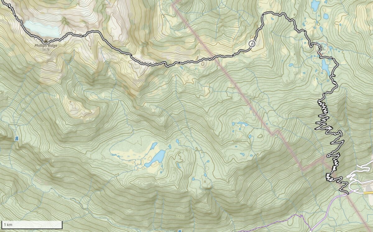
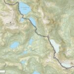
- Map 1 – Trailhead to Phillips Ridge
-
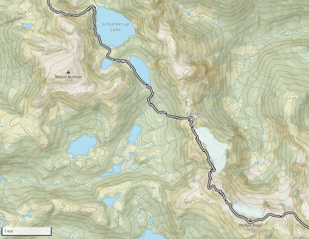
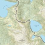
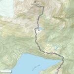
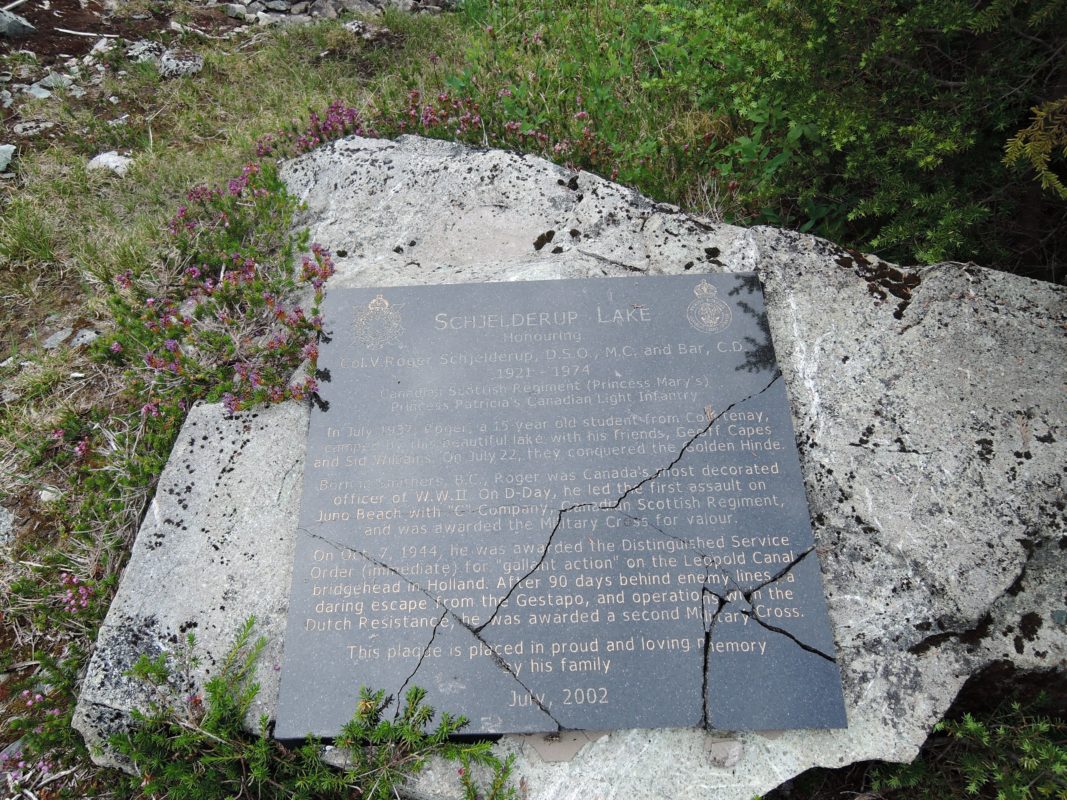
- Map 2 – Phillips Ridge to Schjelderup Lake
-
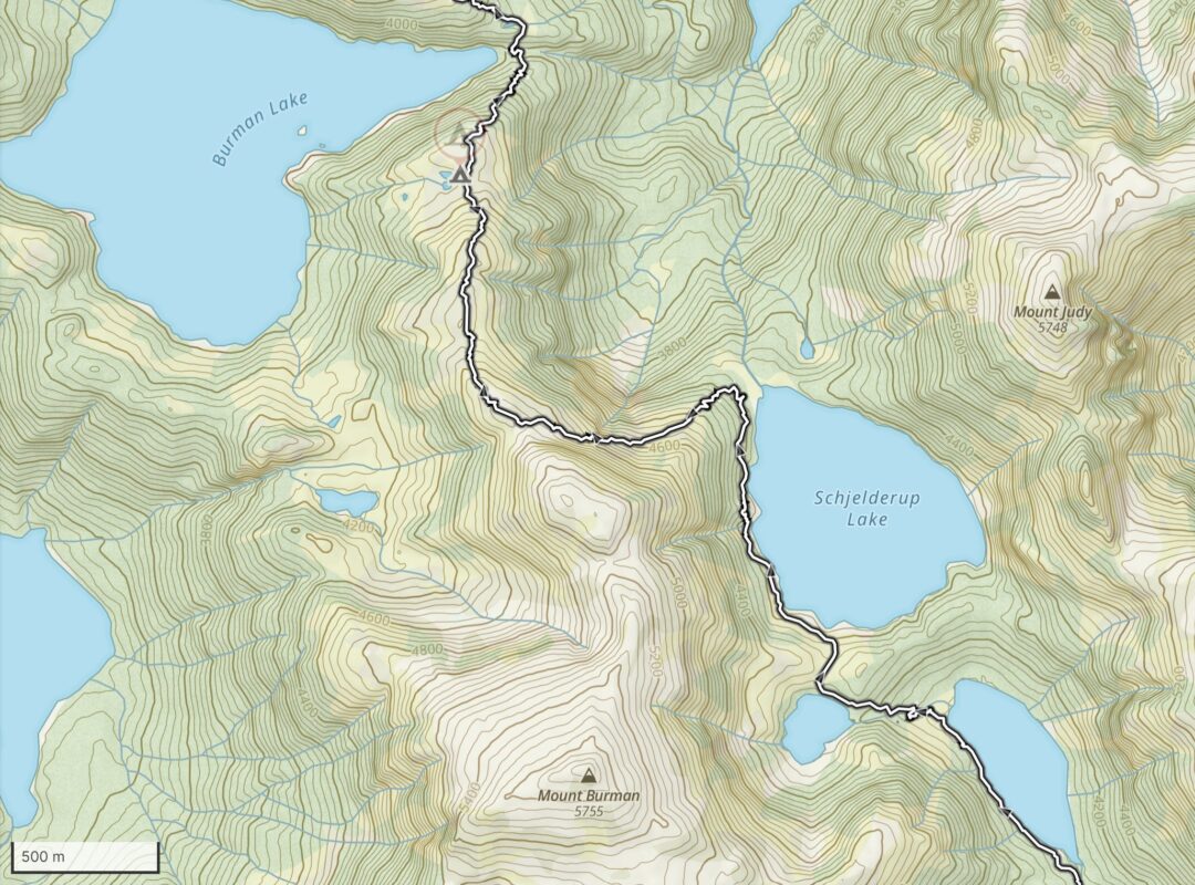
- Map 3 – Schjelderup Lake to Burman Lake
-
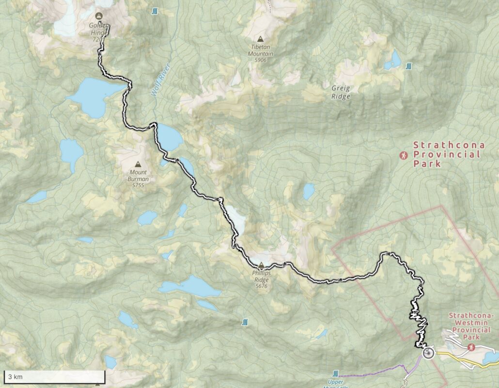
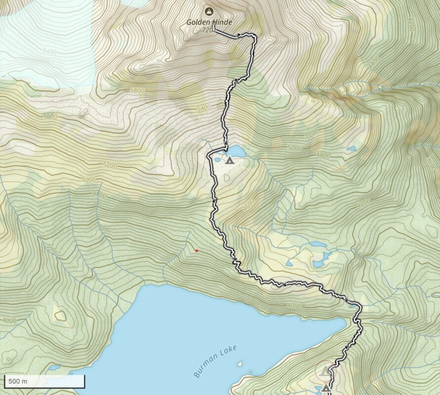
- Map 4 – Burman Lake to Summit

-
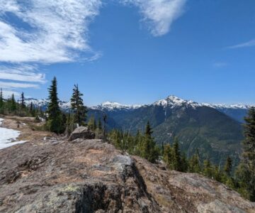
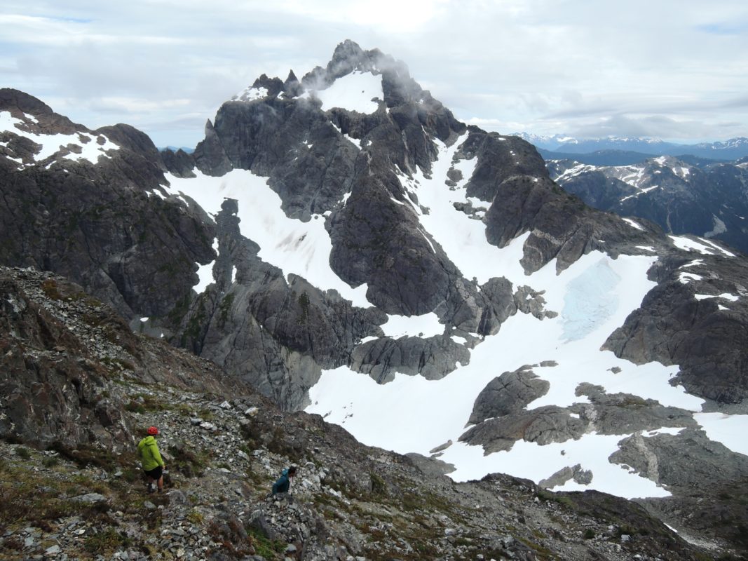
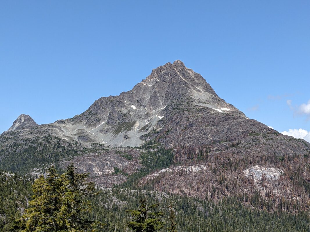
- Summit – View of Strathcona Provincial Park
-
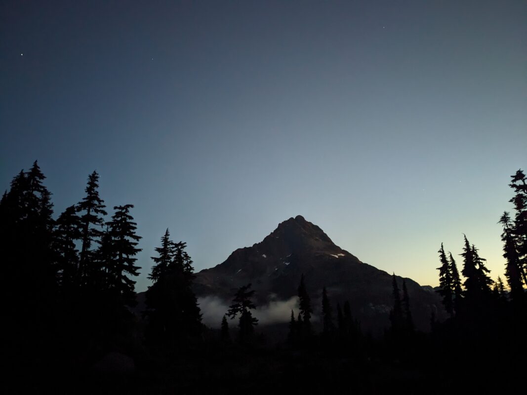
- Summit – View North

-
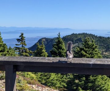
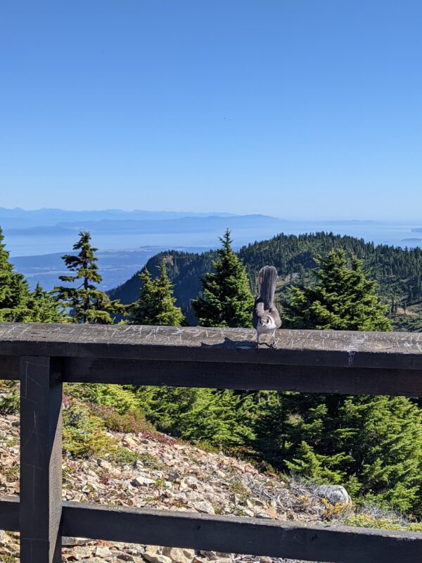
- Lookout Point – Canada Jay
-
- Hike Down