Strathcona Provincial Park Trail Conditions
Important information about trail conditions regarding Strathcona Provincial Park will be posted below. Resources include the BC Park Website as well as any current updates from Strathcona Wilderness Institute and its volunteers. Linked below is a form for submitting maintenance issues within the Park where responses will be forwarded to BC Parks. Additionally, SWI writes a monthly email Newsletter that contains information about recent events, trail conditions, and more and is a great way to stay informed about Strathcona Provincial Park.
Trail Maintenance Reporting
Strathcona Wilderness Institute (SWI) receives many complaints through its Information Centres about trail conditions in Strathcona Provincial Park. Trail maintenance is completed by BC Parks or 43k Wilderness Solutions. In order to help bring attention to maintenance concerns please fill out the linked form. SWI will submit the information to BC Parks on the publics behalf.
Photo upload is available but will require a Google account.
BC Parks Website - Notifications/Updates
BC Parks posts updates on the trail conditions and general information for Strathcona Provincial Park when time permits. Check the conditions and any other important updates, such as wildlife sightings, park closures and especially the latest on the Wildfires. The latest Report as of June 2023 is to be found here.
Mosaic Forest Management Access
For up to date information on access and gate closures please visit: https://www.mosaicforests.com/access
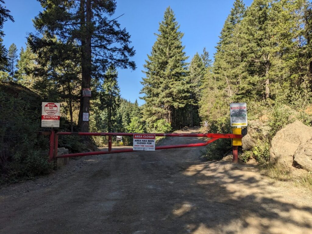
Expect access for hikes like Century Sam and the Comox Glacier and to be restricted when wildfire risk is High.
The public is generally allowed to access logging roads on weekends, however it’s forestry work may still occur.
